Red Cliff, Colorado
Top Spots in and near Red Cliff
-
Dillon, Colorado
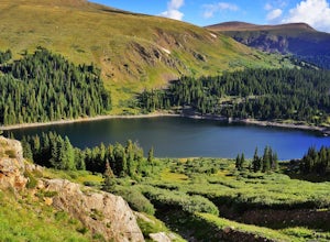
Silver Dollar Lake Trail
5.03.93 mi / 945 ft gainGuanella Pass, which connects the charming and historic town of Georgetown in the north to the blink-and-you’ll-miss-it Grant to the south, is a recreational outdoorsman’s dream. Volumes could be written on what this 22-mile scenic byway has to offer. Silver Dollar Lake Trail is just one tiny po...Read more -
Fraser, Colorado
Summit Byers Peak
8.8 mi / 2774 ft gainThe drive to the start of the trail is okay, having a high clearance vehicle would make the drive easier, but is not necessary. Free parking is available along the side of the road.The trail starts on a closed service road at a gate and requires you to either hike or bike up the dirt road (2 mil...Read more -
Idaho Springs, Colorado
Camp at Guanella Pass
4.5This is a beautiful campground that serves as a great basecamp for many different outdoor activities in the Front Range. Whether you are looking for a casual day fishing or trying to knock one of the nearby 14ers off of your bucket list, this is an excellent place to begin. There are also abandon...Read more -
Georgetown, Colorado
Hike to Square Top Lakes
4.3 mi / 1080 ft gainStarting from Guanella Pass, right across from the Bierstadt trailhead, Square Top Lakes is definitely a hidden gem. Most people here are attempting to do the 14er, but if you've already bagged that one (or are just looking for some high altitude hiking to get you ready for it), Square Top Lakes ...Read more -
Idaho Springs, Colorado
Bierstadt, Evans, and The Sawtooth Loop
4.59.76 mi / 3438 ft gainStarting from the oddly poorly marked Guanella Pass Trailhead (Google maps directions to Guanella Campground and then drive about two miles past it to the south), the trail heads southeast toward Bierstadt, and much of your route to the first summit is visible from the parking lot. The trail to ...Read more -
Idaho Springs, Colorado
Watch the Sunrise at Guanella Pass
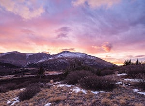
5.01 mi / 100 ft gainFrom Denver, take i70 to Georgetown and simply follow the signs through town to the top. This pass can also be accessed from the south via US Highway 285 at the town of Grant. Guanella Pass is closed in the winter, typically from about the last week in November through the last week of May. Watch...Read more -
Buena Vista, Colorado
Mt. Belford and Mt. Oxford
4.510.34 mi / 5856 ft gainYou'll being your ascent at the Missouri Gulch Trailhead, which is located a few miles up Chaffee County Road 390, at around 9,600 feet. The trail is very clear and very well maintained, but is steeper than most trails (even quite a few of the 14er trails I've done) right from the get-go. Remembe...Read more -
Buena Vista, Colorado
Hike Missouri Mountain
5.010.5 mi / 4500 ft gainGetting there: The trail begins at Missouri Gulch TH. If you are a car camper or are trying to snag a sunrise summit, there are many many drive off sites in trees and near water before and after the trailhead. The road to get to the trailhead is not paved, but is well maintained - a super high cl...Read more -
Dillon, Colorado
Mount Bierstadt
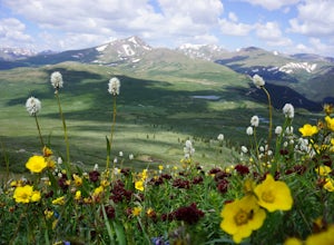
4.67.18 mi / 2697 ft gainIf you’re ready for your first 14er, Mount Bierstadt holds a reputation for a great “starter” 14er. Of course, experienced climbers will enjoy this (relatively speaking) easy mountain as well. Besides the joy of the hike itself, Bierstadt is a stunning wildflower hike in July and August. Thanks t...Read more -
Silver Plume, Colorado
Argentine Railroad Grade
5.05.35 mi / 863 ft gainThe Argentine Central Railroad Grade trail is just what it says: it follows the old rail bed of the Argentine Central line. All railway remnants have long since been removed, and in its place is a wide, well-defined trail with an easy grade. With just a 900-foot incline over the course of about t...Read more -
Aspen, Colorado
Ski or Snowshoe to the Maroon Bells
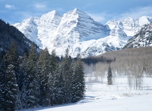
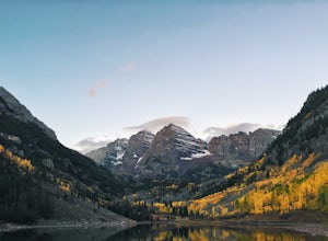
5.012 mi / 1000 ft gainFrom Aspen drive down Maroon Creek Road until it comes to its winter closure located by T Lazy 7 Ranch. The Ranch offers snowmobile tours and keeps the six mile snow covered road to the Bells groomed. Most popular with cross country skiers, the snow road can also be hiked, fat biked, and skinned....Read more -
Dillon, Colorado
Hike the 7:30 Mine Road in Silver Plume
4.05 mi / 1200 ft gainWith a name like 7:30 Mine Road, this is one hike I had to investigate to see if it lives up to its name. Even though this is an easier hike than I normally choose, what it lacks in challenging terrain, it makes up for in historic interest. The view isn’t too bad, either.7:30 Mine Road is about t...Read more -
Buena Vista, Colorado
Summit Mount Huron
6 mi / 3500 ft gainThere are some dispersed campsites along side the 4x4 road that leads to the trailhead. Ideally you can sleep here to get an early start to your hike in the morning, to avoid the afternoon storms that frequent the mountains. The 4x4 is rough in spots, though my Subaru Outback did make the trek un...Read more -
Aspen, Colorado
Camp at Silver Bell Campground
Escape the bustle of town and head out of Aspen on Maroon Creek Road. Follow the signs to Maroon-Bells Snowmass Wilderness Area. There is a $10 entrance fee (unless you are a national parks pass cardholder) plus an additional fee to camp. Continue down the road to Silver Bell Campground. With a t...Read more -
Gypsum, Colorado
Camp at Dotsero Crater
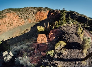
COLORADO'S YOUNGEST VOLCANO The Dotsero crater is Colorado's youngest volcano, erupting a mere 4,200 years ago. While the crater may not be as dramatic as Mt. St Helens, Mt. Baker, or other volcanos in the U.S., it's quite an unusual terrain feature to come across in Colorado, and offers some gre...Read more -
Berthoud Pass, Colorado
Ski or Snowboard Berthoud Pass Colorado
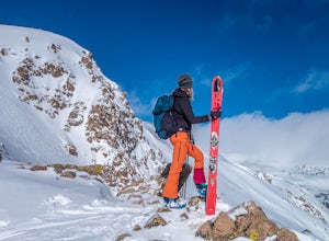
Berthoud Pass is 55 miles from Denver making it one of the closest places to get out and backcountry tour in the winter. At 11,370 Berthoud Pass crosses the continental divide. From the top of the pass you can do shuttle runs down the south side of the pass. Or, you can venture on the East or Wes...Read more

