Black Hawk, Colorado
Top Spots in and near Black Hawk
-
Estes Park, Colorado
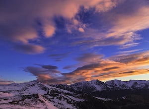
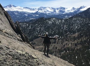
Hike along Tombstone Ridge
4.3 mi / 3250 ft gainTombstone ridge can be accessed via the ute trail from two directions. The lower trail starts at upper beaver meadows and is ~4.3 miles with 3250 feet of elevation gain. It can also be accessed at the Ute trail crossing along trail ridge road, which leaves you a 1.1 mile hike with just under 300 ...Read more -
Grand Lake, Colorado
Hike to Big Meadows and Granite Falls
5.010.3 miThe Green Mountain Trail is part of the Continental Divide National Scenic Trail (CDT) which is a foot path from Mexico to Canada. Big Meadows is a great place to view elk, moose, and deer. Other animals you can see in the area are abert squirrels, river otters, weasels, and black bear.Big Meadow...Read more -
Silverthorne, Colorado
Backpack to Upper Slate Lake
5.028 mi / 1386 ft gainStarting from the Rock Creek Trailhead parking lot, it is an up and down trek to Upper Slate Lake. The trail map states 10 miles each way, but accounting for switchbacks it ends up being closer to 14 long, hard miles.You will be among aspens and pines for the first half as you have a few moderate...Read more -
Lone Tree, Colorado
Hike Bluffs Regional Park Trail
2.7 mi / 200 ft gainThis loop trail is 2.7 miles long but has several options for overlooks that add 0.8 miles to the trip. This is an easy hike with minimal elevation gain and is a great option for the whole family. Every time I've done this hike I've seen numerous deer which only adds to the hike!Read more -
Frisco, Colorado
Climb Mount Royal
4.7To access the trailhead, drive 4 blocks South to the end of 2nd Avenue from Frisco's Main Street. The trailhead is located around 9,075 feet.Being a popular hike, the trail is clear in the summer months and usually populated by boot prints and snowshoe tracks in the winter. Follow the trail from ...Read more -
Aurora, Colorado
Walk the Cherry Creek Dog Off-Leash Area
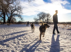
4.53 miCherry Creek Dog-Off Leash Area is an extended part of Cherry Creek State Park and encompasses 107 acres of fenced-in play area. Within the park there is a 3 mile loop trail that takes you through the trees and along the Cherry Creek. What makes this park so great is the several access points to ...Read more -
Jefferson, Colorado
Camping at Lost Park Campground
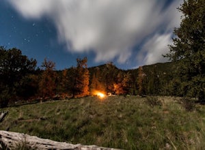
4.5This campground is a great spot to crash at before heading out on a backpacking trip through the Lost Creek Wilderness but serves as an amazing campground itself. The area immediately surrounding the campground is beautiful. There are 12 campsites that can accomodate two vehicles per site and eac...Read more -
Frisco, Colorado
Mount Royal Trail
3.98 mi / 1391 ft gainMount Royal Trail is an out-and-back trail that takes you through a nice forest located near Frisco, Colorado.Read more -
Frisco, Colorado
Hike or Snowshoe to Rainbow Lakes
5.03 mi / 250 ft gainYou can do this hike two different ways: 1- Start from the Peaks Trail Trailhead for an out and back hike, distance is a little over 2 miles roundtrip. 2- Start along the Summit County Recreational Trail (as marked on this map), also out and back hike, total distance just over 3 miles, and provid...Read more -
Jefferson, Colorado
Backpack Lost Creek
4.05 miI included a trail map of where I camped. There are many sites all throughout this area. From the Lost Park Campground Parking lot follow the Lost Creek for 2.4 miles. At the 1 mile mark was the best place that we found to cross the creek (there are two logs that make a bridge across the creek). ...Read more -
Estes Park, Colorado
Hike Deer Mountain
6.03 mi / 1200 ft gainBeginning in Rocky Mountain National Park near the Deer Ridge Junction (where US 34 & US 36 meet), park your car in one of the 20 spots on either side of the road. Start at the trailhead booth and head north, keeping to the right-side trail at the first intersection about a tenth of a mile fr...Read more -
40.387035,-105.610770
Rocky Mountain NP's Trail Ridge Road
4.939.06 miStart by entering Rocky Mountain National Park through Estes Park, Colorado. After acquiring a map start your ascent on Trail Ridge Rd (the road is closed in winter). The Road will take you up in elevation into the mountains so a good car is strongly recommended. As you wind up the switch backs,...Read more -
Estes Park, Colorado
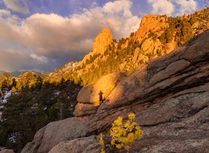
Climb at Lumpy Ridge
Lumpy Ridge is mostly a traditional climbing area with most climbs being two or more pitches after a mile to 3+ miles of mostly flat walking. From climbers left to right the larger areas consist of Sundance Buttress, The Bookend, The Bookmark, The Book, and Twin Owls. There are smaller formatio...Read more -
Estes Park, Colorado
Lumpy Ridge to Gem Lake
4.33.12 mi / 950 ft gainBegin by parking at the Lumpy Ridge trailhead, which is a couple miles outside of Estes Park on McGregor Avenue. At the trailhead, there are numerous signs indicating hiking trails, climbing routes, and other information about the area. After parking start hiking on the trail to the right of the ...Read more -
Breckenridge, Colorado
Hike Baker's Tank Loop
3.86 mi / 645 ft gainWhen the aspens are sporting their golden hues of autumn, Baker's Tank Loop is a perfect fall hike. The trailhead is about ten minutes from downtown Breckenridge. For part of the hike, you may have the world to yourself. But, for the road portion, you'll likely have to share with the leaf peep...Read more -
Breckenridge, Colorado
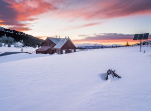
Ski or Snowshoe to Section House Hut
5.06.25 mi / 1200 ft gainThere are a couple routes to Section Hut on Boreas Pass, but the best adds trekking through the forest on Baker's Tank trail. Starting at 10,350' at the TH, look for a trail in the woods that starts climbing relatively quickly. Follow this for about 2.5 miles to the junction with the road and B...Read more

