United States
Looking for the best chillin in United States? We've got you covered with the top trails, trips, hiking, backpacking, camping and more around United States. The detailed guides, photos, and reviews are all submitted by the Outbound community.
Top Chillin Spots in and near United States
-
Kailua, Hawaii
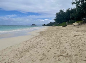
Kailua Beach Park
4.0Kailua Beach Park, located in the town of Kailua, is a great spot for the whole family. There is a large parking lot with a bathroom and a place to rinse the sand off.Read more -
Milton, Florida
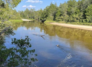
Chain of Lakes Trail
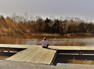
1.4 mi / 85 ft gainChain of Lakes Trail in Blackwater River State Park is a relatively easy 1.4-mile loop trail that takes less than a half hour to hike around. The trail starts just southeast of the Deaton Bridge at the trailhead in the parking lot. There may be birders or people fishing along the trail, but if yo...Read more -
Encinitas, California
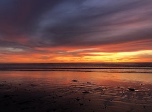
Stonesteps Beach
Stonesteps Beach is incredibly scenic during every season. In the winter this beach is usually fairly rocky, and in the spring/summer the sand returns. If you're looking to hang out on this beach just be sure to set up your towel or chair a good ways away from the cliffside as there is a lot of...Read more -
Guerneville, California
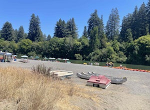
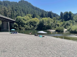
Johnson's Beach
Johnson's Beach is a public beach located on the Russian River in Guerneville, California.Read more -
Lancaster, California
Saddleback Butte State Park Loop
0.58 mi / 46 ft gainSaddleback Butte State Park is a state park in the Antelope Valley of the western Mojave Desert. It’s oftentimes looked over, but you’d be surprised what you can find there. Definitely a place to stop. It is located east of Lancaster. It can get hot so make sure to bring lots of water and wear su...Read more -
Monte Rio, California
Monte Rio Community Beach
Monte Rio Community Beach is located in the Sonoma County town of Monte Rio. The beach nestles up to the Russian River offering a great chance for families to kick back and relax by the water or bring your kayak or stand-up paddle board for fun on the water. Dog-Friendly: Monte Rio Community Be...Read more -
Hesperia, California
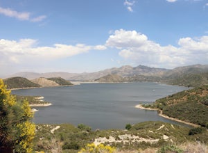
Cleghorn Beach and Day Use Area
Nestled at the southwestern edge of Silverwood Lake lies Cleghorn Beach and Day Use Area, a perfect spot for a leisurely afternoon. This family-friendly beach boasts lifeguards on duty during the summer months and offers reservable picnic shelters for your convenience. Unlike other parts of the l...Read more -
Lee Vining, California
Mono Lake Vista Point
Mono Lake Vista Point is a quick pull off on the right side of Highway 395 as you’re headed south toward Mono City. The pull off is fairly big and is a great spot to pull over quickly to take in a view of Mono Lake and the greater area.Read more -
Fawnskin, California
Pine Oak Lane Beach
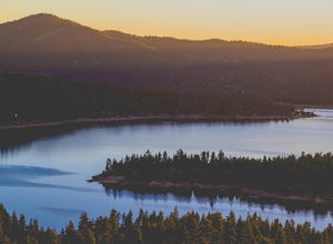
Pine Oak Lane Beach, is located on the western side of Big Bear Lake. Whether you're seeking a tranquil escape or an action-packed day on the water, this scenic beach has something for everyone. Activities: At Pine Oak Lane Beach, you can enjoy a variety of recreational activities, including swi...Read more -
Topeka, Kansas
Clarion Woods Loop
0.73 mi / 92 ft gainThis is one of my favorite places inside Topeka city limits! It is typically not very crowded unless you visit during lunch hours, there tends to be local workers etc. who take their lunch break in the parking lot. There are 2 or 3 picnic tables and a bench as well to relax or have lunch on. Ther...Read more -
Friant, California
Pincushion Peak
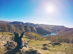
2.49 mi / 1043 ft gainHead North on Friant Rd. It will begin to head East, becoming Millerton Rd. Stay on Millerton Rd for 4.2 mi. Turn left onto Sky Harbor Rd (street JUST before Table Mountain Casino). Follow Sky Harbor Rd for 5.8 miles to the end of the road. Parking is available along the road. There are port a po...Read more -
San Fernando, California
Pacoima Park Natural Wash Park
0.54 mi / 13 ft gainPacoima Park Natural Wash Park makes for a wonderful & pleasant walk. The entrance to the park is located at the corner of Newton St and 8th St and runs up to Foothill Blvd in San Fernando California. The park is ADA accessible and allows for dogs on leash. There are also picnic tables and dr...Read more -
Sibley, Iowa
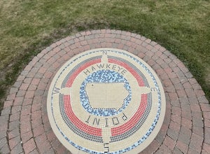
Hawkeye Point Iowa
0.28 mi / 33 ft gainHawkeye Point is the highest point in Iowa. Surrounded by cornfields the caretakers for this location have done a great job with some informative displays and marking the point itself. Definitely worth a stop if you are in the area. Directions: From I-90. Go to Worthington, Minnesota and take...Read more -
Leavenworth, Washington
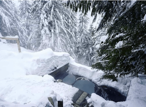
Scenic Hot Springs
3.21 mi / 1135 ft gainScenic Hot Springs is a privately owned hot spring located near Stevens Pass outside of Leavenworth, Washington. To access the three steaming pools, please visit ScenicHotSprings.com to make a reservation. Reservations are required. The three tubs have varying temperatures and only 10 people ar...Read more -
Hesperia, California
Sawpit Beach
Sawpit Beach, is nestled within the Silverwood Lake State Recreation Area. The beach offers a peaceful respite along the southern shores of Silverwood Lake. With lifeguards on duty during the summer months, families can enjoy a worry-free day of swimming and relaxation. The sandy shores provide t...Read more -
San Bernardino County, California
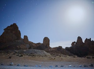
Trona Pinnacles OHV Route
12.07 mi / 344 ft gainTrona Pinnacles OHV Route is an out-and-back trail that provides a good opportunity to see wildlife located near Trona, California.Read more

