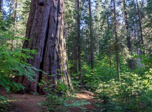
Yosemite, California
Looking for the best hiking in Yosemite? We've got you covered with the top trails, trips, hiking, backpacking, camping and more around Yosemite. The detailed guides, photos, and reviews are all submitted by the Outbound community.
Top Hiking Spots in and near Yosemite
-
Mammoth Lakes, California
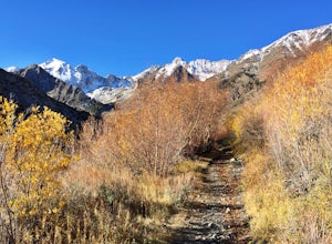
Hike to Steelhead Lake through McGee Creek Canyon
5.011.5 mi / 2510 ft gainWhether you’re looking for a dayhike near Mammoth Lakes, planning a backpacking trip along the JMT, or have a few extra hours to spare on a cross-California road trip, this is an easy and popular trail choice for killer mountain views.I was delighted to discover that this is one of the most easil...Read more -
Mammoth Lakes, California
Backpack to Red Slate Mountain
22 mi / 5600 ft gainI would recommend you spend the night in the area to acclimatize, since the trailhead does start at ~8,000ft and you will be hiking up to ~10,500ft at the end of the first day and climbing up to 13,100ft on the second day. One option would be to reserve a spot at the nearby McGee Creek Campground...Read more -
Lakeshore, California
Hike to White Bark VIsta
2.3 mi / 462 ft gainA short 1 mile hike in from Kaiser Pass will lead you to the top of a ridge line with incredible views toward the east. There are two pit toilets located at the top of Kaiser Pass. If you have a high clearance, 4x4/AWD vehicle you can probably drive to this location. (I made it up here in a stock...Read more -
Arnold, California
Backpacking to Sword Lake
5.0Getting There Take 108 to Pinecrest Lake to pick up a free backcountry permit at the Summit Ranger Station. (If you reach Strawberry you've gone too far.) Continue past Beardsley Lake to Clark's Fork Road on the left. Cross two bridges and Forest Route 6N06 will take you to the trailhead (County ...Read more -
Benton, California
Photograph Wild Mustangs in Mono County
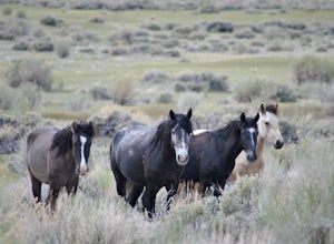
Since these are wild horses, tracking them can be difficult. However, they tend to play and graze in a certain field in Mono County, right outside of Mammoth Lakes and Yosemite! From CA-395 turn onto CA-120 towards Mono Lake. Take this road for 21 miles until you reach Dobie Meadows Road, a one l...Read more -
Lakeshore, California
Hike to George Lake
9.2 mi / 1050 ft gainThe hike to George Lake starts out about 4 miles after you turn off 168 onto Kaiser Pass Rd. You'll want to park at the parking lot right before Badger Flat Campground. The parking lot is easy to notice and it is located on the right hand side of the road, two pit toilets and bear lockers are loc...Read more -
Coleville, California
Hike to Tamarack Lake, Carson-Iceberg Wilderness
4.010 mi / 2000 ft gainThe trailhead begins at the end of Golden Gate Rd in Coleville, Ca on highway 396. There are very limited signs, so maps are necessary! Depending on how fast of a hiker you are, you can most likely reach the lake in 6 hours with minimal breaks. If you cannot start in the morning, there are beauti...Read more -
Arnold, California
Upper Gardner Meadow via Highland Lakes Trail
3.96 mi / 364 ft gainUpper Gardner Meadow via Highland Lakes Trail is an out-and-back trail where you may see wildflowers located near Markleeville, California.Read more -
Lakeshore, California
Evolution Valley via Florence Lake
4.530.36 mi / 3238 ft gainYou can get to the Evolution Basin a variety of ways, but the easiest is through the Florence Lake Trailhead. Here, you can choose to either take the Florence Lake Ferry across the lake, or save $25 and hike the extra 4 miles around the lake. Personally, I would choose the ferry. About five mile...Read more -
Lakeshore, California
Backpack to Crater Lake, Sierra National Forest
8.4 mi / 2100 ft gainStarting at Lake Florence, this hike starts out with a climb up and keeps this up over the next 3 miles. After about 3 miles of climbing you reach another lake, Dutch Lake which provides shade and a nice place to rest. From there it's a relatively flat 1.2 miles in to your destination. Once at Cr...Read more -
Shaver Lake, California
Balsam Forebay
4.01.05 mi / 62 ft gainAccess to the forebay starts at the trail head from the parking lot 6,700 ft up, also from the parking lot there is access to two different sets of boulder patches separate from the ones encountered along the hike in. Hike Start the 1 mile out and back hike from the parking lot following the t...Read more -
Sonora, California
Bouldering at Columbia College
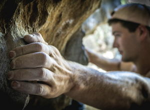
Get your hands on some limestone bouldering at this spot. There's actually two locations for bouldering in this area, Columbia College and Columbia State Park (about less than a 10 min. drive from Columbia College), but I made this specific adventure for climbing on the college. GPS Coordinates f...Read more -
Tuolumne County, California
Hike the South Grove Trail in Big Trees SP
3.75 mi / 560 ft gainThe South Grove Trail of Calaveras Big Trees State Park sees far less traffic than the North Grove due to its increased mileage and distance from the park entrance. The trail starts at the South Grove Trail head which is located nine miles east of the entrance on the main park road. The trailhead...Read more

