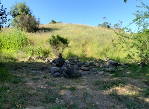
Walnut Creek, California
Walnut Creek, California, is the perfect destination for adventurers looking for the best trails and activities. From hikes to attractions, the area offers a variety of top adventures. Popular attractions in and near the area include the Shell Ridge Open Space, Mount Diablo State Park, and Lime Ridge Open Space. These locations offer activities such as hiking, biking, and horseback riding. Visitors can also take a stroll along the Iron Horse Regional Trail or explore the trails at the Las Trampas Regional Wilderness. With so many activities available, Walnut Creek is the perfect place to explore and enjoy nature.
Top Spots in and near Walnut Creek
-
Stinson Beach, California
Dipsea Trail to Steep Ravine Trail Loop from Stinson
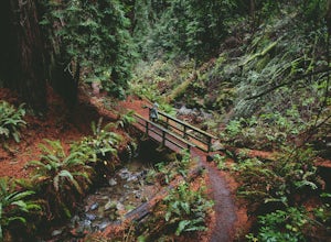
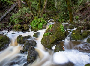
5.05.99 mi / 1568 ft gainDipsea Trail to Steep Ravine Trail Loop from Stinson is a loop trail that takes you by a waterfall located near Stinson Beach, California.Read more -
Stinson Beach, California
Matt Davis-Steep Ravine Loop
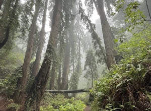
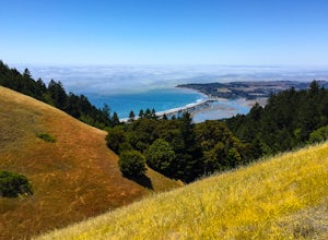
4.76.62 mi / 1726 ft gainThis loop is made up of three of the most popular Marin trails and for good reason. These trails offer not only expansive ocean views, but a variety of topography and environments. This 6+ mile loop offers up waterfalls, dense forests, redwoods, and open grasslands overlooking the pacific. Starti...Read more -
Stinson Beach, California
Matt Davis-Coastal Trail Loop
4.76 mi / 2231 ft gainThis hike is an alternative to the famous Matt Davis to Steep Ravine Loop. The hike starts at Stinson Beach, just behind the fire Station. I recommend parking at the Beach parking lot. The Matt Davis trail is one of the best constructed trails I have ever seen. After 2.2 miles, turn left on the ...Read more -
Vacaville, California
Bike the Lake Berryessa Loop
55.82 mi / 1007 ft gainBegin your ride in Vacaville, California out of Alamo Creek Park (street parking is available and free). Head north on Alamo Drive and veer left onto Foothill Drive, then left (South) onto Pleasants Valley Road. After two miles, veer left onto Cherry Glen Road. Stay to the right when you reach th...Read more -
Stinson Beach, California
Cataract Falls
4.22.81 mi / 1184 ft gainThe Bay Area is home to many beautiful waterfalls, but Cataract Falls located about an hour north of San Francisco is one of the most stunning. Be sure to head out on this hike after a recent rain. Cataract Falls is a picturesque waterfall located in the Mt. Tamalpais Watershed near Stinson Be...Read more -
Pacifica, California
Rockaway Beach
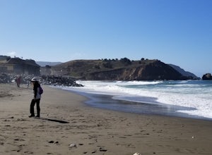
5.0Rockaway is a dark sandy beach located in the south of Pacifica, CA. It has numerous hiking trails around it, most notably Mori Point. The Mori Point trail will take you through the hills and overlooks Rockaway Beach. There are paths to come down to the beach. There are biking paths and park...Read more -
Stinson Beach, California
Cruising Pacific Coast Highway in Northern California
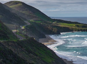
4.8Start your drive on US Highway 1 aka Pacific Coast Highway just North of San Francisco. The drive will take about 1 -2 days so plan on overnighting somewhere. Hotels are scarce in the unpopulated areas but there all lots of Cabin rentals throughout and several campgrounds around. Just make sure y...Read more -
Stinson Beach, California
Bouldering & BBQ at Stinson
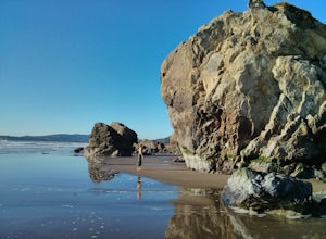
4.5Stinson offers up a great beach day with a few activities for everyone to enjoy. If you head toward the south end of the beach, you'll come across a few boulder problems, including the 2 most popular: Are You Experienced and The Old Man. Are You Experienced is the smaller of these 2 boulders, but...Read more -
Stinson Beach, California
Relax at Stinson Beach
4.3Stinson beach is a popular destination for Bay Area residents and tourists alike. Located just 20 miles north of San Francisco, it is a 30-40 min drive away from the Golden Gate Bridge (it's a one-lane windy road once you're on HWY 1). It is also a popular stop when hiking the nearby Mount Tama...Read more -
Pacifica, California
Montara Mountain Trail
5.06.77 mi / 1900 ft gainMontara Mountain Trail is a loop trail that takes you through a forest out to ocean views at the top of Montara Mountain. This hike located near Pacifica, California. and can be accessed from Highway 1 as well. If you're looking to do a similar loop hike from the coast, consider Montara Mountain ...Read more -
Pacifica, California
Surf at Pacifica State Beach
4.5If you're looking for a place to surf and Ocean Beach isn't quite your speed or Santa Cruz is too far, head to Pacifica, specifically Linda Mar. Linda Mar is usually more wind protected and user-friendly than ocean beach. Break out your longboard or hybrid board and head to this beach. There is e...Read more -
Redwood City, California
Hike the Pulgas Ridge Open Space Preserve Loop
3.75.5 mi / 1000 ft gainGetting there: exit Highway 280 at Edgewood Road, travel .75 miles east, turn left on Crestview Drive, then immediately left again on Edmonds Road.Once parked, there are several different path options through the park. All of them connect in a large loop, and return to the parking lot. The Cordil...Read more -
3160 North Shoreline Boulevard, California
SUP Shoreline Lake
3.0Shoreline Lake features a big lake, many hiking and biking trails, and lot of picnic areas in Mountain View, CA. Kayaks, SUP, and various boats can be rented from the boat house. This is a great place to enjoy the water no matter what season it is. There are large grassy areas for kids to run and...Read more -
Napa, California
Alston Park Loop Trail
2.76 mi / 184 ft gainAlston Park Loop Trail, located in Napa, California, is a 2.76-mile loop trail that offers a moderate level of difficulty for hikers. The trail is primarily used for hiking, walking, and running and is accessible year-round. The trail is well-maintained and clearly marked, making it suitable for ...Read more -
Novato, California
Mount Burdell Open Space Loop
4.87 mi / 1234 ft gainStart at the wide gravel parking lot. You will find the start of the San Andreas Fire Road on the south side leading up the mountain. The San Andreas Fire Road heads up the southern slope before joining the Middle Burdell Fire Road and then very quickly the Deer Camp Fire Road. Keep your eyes p...Read more -
San Jose, California
Catch a Sunset at Alviso Marina County Park
3.09 mi / 72 ft gainThis tranquil 20.6 acre park is open year round from 8am to sunset. It’s the gateway to the Don Edwards San Francisco Bay National Wildlife Refuge. It is filled with boardwalks, trails, and all kinds of wildlife. I went here with the sole intent of catching a pretty sunset after a long week. I g...Read more

