Shaver Lake, California
Shaver Lake, California has it all for outdoor adventurers. With its rugged mountains, crystal-clear lakes, and lush forests, it offers some of the best trails and outdoor activities in the area. From scenic hikes to whitewater rafting, there's something for everyone. For hikers, there's the popular Shaver Lake Trail, which offers beautiful views of the lake and surrounding mountains. For a more challenging trek, try the Dinkey Creek Trail, which winds through lush forests and offers stunning views. If you're looking for a more relaxing experience, take a boat tour of the lake and enjoy the stunning scenery. For those seeking a more exciting adventure, try whitewater rafting on the Kings River. No matter what type of outdoor activity you choose, Shaver Lake is sure to be an unforgettable destination.
Top Spots in and near Shaver Lake
-
37.739698,-119.564018
Snow Creek Trail
5.020.43 mi / 2700 ft gainThis is truly a beautiful hike. Although it’s not the easiest, you are rewarded by the views. From the Mirror Lake trailhead (shuttle stop #17), it is 0.9 miles to the Snow Creek trailhead and 1.7 miles to the Snow Creek overlook where you can camp in close proximity. Once you reach the top, you...Read more -
Yosemite Valley, California
Mirror Lake
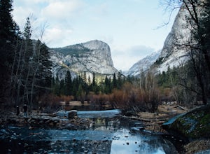
4.62.56 mi / 190 ft gainMirror Lake is a very popular spot in the Yosemite Valley and definitely a must see to check off your explore list. Crowds are much smaller if you go during the winter, but some parts of the water might be iced over. The trailhead you take to get there is well marked and can be found at the far ...Read more -
Yosemite Village, California
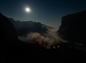
Witness Yosemite's Firefall
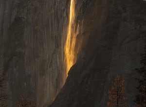
5.00.1 mi / 0 ft gainOver 5 million visitors flock to Yosemite National Park in California's Sierra Nevada Mountain Range every year to take in the geological splendor. While most visitors get to see the park's waterfalls, very few ever get to witness the Firefall. For two weeks between mid-late February, a small wat...Read more -
Mariposa County, California
Hike to Bridalveil Fall
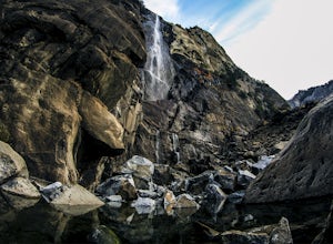
3.81.2 mi / 200 ft gainSince most things you want to see in Yosemite require a hike, this place is a nice change to see something without having to walk for hours. From the parking lot it is just about a 10 minute walk to the falls.If you scramble up the rocks, you can get a nice view of the falls and the pond. It used...Read more -
YOSEMITE NATIONAL PARK, California
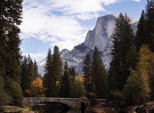
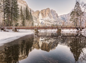
Photograph Stoneman Bridge in Yosemite NP
4.5This location turned out to be one of our favorite unplanned stops in the Yosemite Valley to photograph and explore.Stoneman Bridge was constructed in 1933 and spans 72 feet long. The Merced River flows under this classic stone bridge providing very photogenic reflections, with Half Dome in the b...Read more -
Mariposa County, California
Glacier Point via Four Mile Trail
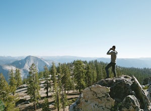
5.09.59 mi / 3200 ft gainGlacier Point is one of the highlights of Yosemite. The point is located at the end of Glacier Point Road. This viewpoint allows you to survey the entire Yosemite Valley and gives the viewer a captivating sight of Half Dome. It's a little bit of a tourist trap (especially during the summer season...Read more -
Mariposa County, California
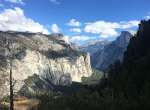
Hike to Union Point via Four Mile Trail
6 mi / 2332 ft gainFour Mile Trail is steep, but hikers efforts are more than rewarded. Union Point sits above Yosemite Valley at 6,332 feet - offering sweeping views of El Capitan and the valley entrance to the left, and North Dome / Half Dome & Clouds Rest to the right. You can also see Yosemite Falls straigh...Read more -
Mariposa County, California
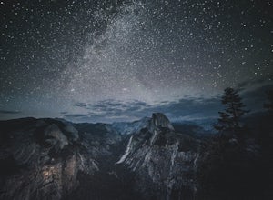
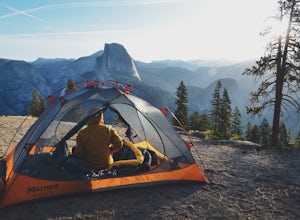
Camp at Glacier Point
4.79.17 mi / 3491 ft gainEveryone that knows Yosemite, knows Glacier Point. An overlook that attracts thousands of people per day that drive up via Glacier Point Road is rarely vacant of the hustle and bustle of people. However, there is a loop hole here, and when the stars align you can have Glacier Point ALL to yoursel...Read more -
Mariposa County, California
Four Mile Trail to Panorama Trail Loop
5.016.03 mi / 5177 ft gainFour Mile Trail to Panorama Trail Loop is a loop trail that takes you by a waterfall located near Yosemite Valley, California.Read more -
Yosemite Village, California
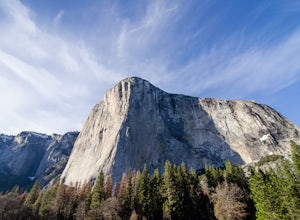
Watch the Sunset in El Capitan Meadow
After entering the park, keep driving the loop until you get onto Northside Drive, and then park once you are right below El Capitan (the 3,000ft granite monolith that is very hard to miss).Once you've parked, grab a blanket, snacks, and a beverage. With these items in hand, walk over to the eas...Read more -
Bishop, California
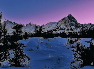
Snowshoe to Blue Lake
6.2 mi / 1350 ft gainStarting in Aspendale at 8500 feet, this 5 mile hike is very invigorating and beautiful. To get here, take hwy 395 until in Bishop. Turn onto hwy 168 until you pass the small town of Aspendale. The road dead ends about another mile up the road and you can park. Walk past the yellow gate toward la...Read more -
Yosemite Valley, California
Photograph Yosemite Falls at Swinging Bridge
5.0This is a drive up and shoot adventure in winter. The spot is at Swinging Bridge area. This area is also a picnic area and hiking trail but, in my opinion, the best spot to capture Yosemite Falls is a few steps walk after you park the car. One of not so many places that you still can go in winte...Read more -
YOSEMITE NATIONAL PARK, California
Photographing Valley View
4.5Valley View is a must stop viewpoint in Yosemite National Park. Most people visit Valley View on their way out of the park as it is the last stop, located along the one-way Northside Drive. Look for a small parking area to your left just before Pohono Bridge. There are only about a dozen parkin...Read more -
YOSEMITE NATIONAL PARK, California
Hike to Eagle Peak via Rockslides Trail
4.016.07 mi / 5568 ft gainA Yosemite Valley trip in May has tourist filled buses, noisy car alarms, and crowded trails written all over it. Thus, I wanted to avoid the beaten path. Looking into possible destinations, John Muir once said in regards to Eagle Peak, "where the most comprehensive of all the views to be had on ...Read more -
Mariposa County, California
Dewey Point via Tunnel View
5.09.25 mi / 2979 ft gainDewey Point lies on the western side of the Pohono Trail, across the valley from El Capitan and above Cathedral Rocks. When I was there in September, it was deserted but for a few birds drifting on the thermals above the cliffs. The sunset was stunning. It felt like there was nothing between me a...Read more -
Mariposa County, California
Hike to Inspiration Point in Yosemite NP
2.4 mi / 900 ft gainInspiration Point is a granite slab located on the mountainside above Tunnel View. Hiking to this scenic point will provide you with the same views you would get from Tunnel View with less people around. Hiking this trail can also take you to different parts of Yosemite if you're so inclined (Bri...Read more

