Oakhurst, California
Oakhurst, California, known for its top outdoor adventures, offers one of the best trails for hiking - the Lewis Creek Trail. A must-visit, this scenic trail is moderately challenging, making it ideal for both beginners and seasoned hikers. As you traverse the trail, you'll come across two stunning waterfalls - Corlieu and Red Rock. The sight of the cascading water against the backdrop of the Sierra National Forest is truly captivating. The trail also offers views of unique rock formations and lush greenery. If you're lucky, you might even spot some local wildlife. Other outdoor activities in and near Oakhurst include fishing in Bass Lake and exploring the famous Yosemite National Park. So, if you're looking for the best trails and outdoor activities, Oakhurst should definitely be on your list.
Top Spots in and near Oakhurst
-
YOSEMITE NATIONAL PARK, California
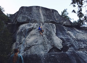
Rock Climb Penthouse Cracks, Yosemite NP
The Penthouse Cracks in Yosemite Valley are a great introduction to crack climbing, in a safe environment. With fixed protection above the routes, you are able to safely top rope these climbs. Featuring a 5.8, two 5.10 climbs, and a 5.11, everyone can find something fun to try.Park at Yosemite Lo...Read more -
37.739698,-119.564018
Snow Creek Trail
5.020.43 mi / 2700 ft gainThis is truly a beautiful hike. Although it’s not the easiest, you are rewarded by the views. From the Mirror Lake trailhead (shuttle stop #17), it is 0.9 miles to the Snow Creek trailhead and 1.7 miles to the Snow Creek overlook where you can camp in close proximity. Once you reach the top, you...Read more -
Yosemite Valley, California
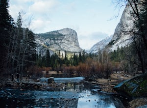
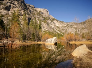
Mirror Lake
4.62.56 mi / 190 ft gainMirror Lake is a very popular spot in the Yosemite Valley and definitely a must see to check off your explore list. Crowds are much smaller if you go during the winter, but some parts of the water might be iced over. The trailhead you take to get there is well marked and can be found at the far ...Read more -
Yosemite Valley, California
Hike to Hidden Falls (aka Tenaya Creek Falls)
4.2Also known as Tenaya Creek Falls or Three Chutes Falls, this spot is loved by locals and is definitely worth the hidden trail and scramble over rocks. The hike takes you along Tenaya Creek, Mirror Lake, and a boulder-filled canyon. Great for photos or for relaxing by some secluded falls. To get t...Read more -
Yosemite Valley, California
Hike to Basket Dome
9.45 miGetting There Starting in Yosemite Valley, head to the Snow Creek trailhead just past Muir Meadows. Start the hike early in the morning, since it gets pretty hot in the summer and the last part of the hike is in the sun. The Trail You'll hike more than 140 switchbacks to reach the top of Ba...Read more -
Yosemite Valley, California
Snowshoe to Snow Creek
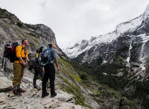
5.010.98 mi / 2700 ft gainTake the Valley shuttle to Mirror Lake Trailhead where you will begin your hike. After a flat 2 miles, you will begin the steep three miles up to snow creek as you take one switch back after the next. This steep climb will reward you with beautiful views of Tenaya Canyon and give you a differen...Read more -
Yosemite Valley, California
Sentinel Meadow Cook's Meadow Loop Trail
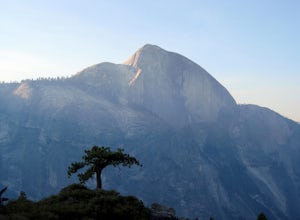
4.51.99 mi / 85 ft gainThis short, easy walk provides some of the best views of several iconic Yosemite landmarks from the valley floor. If you complete the entire loop, expect to see Yosemite Falls from the Swinging Bridge, Half Dome from Sentinel Bridge (a popular spot at sunset), and the historic Yosemite Chapel. ...Read more -
Mariposa County, California
Lower Yosemite Falls
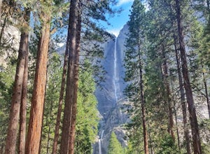
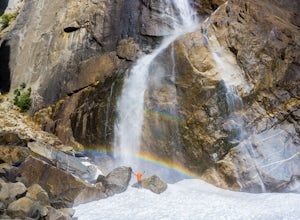
4.81.16 miAt 2,425 feet, Yosemite Falls is the highest waterfall in North America. The falls consists of three sections: Upper Falls, Middle Cascades, and Lower Falls. At 320 feet, Lower Yosemite Falls is one of the most popular attractions at Yosemite National Park. This 1-mile loop is a leisurely walk wi...Read more -
Yosemite Valley, California
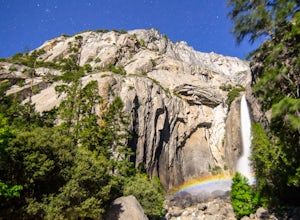
Photograph Moonbows at Yosemite Falls
1 miIn spring at Yosemite National Park, a unique phenomenon occurs, called “moonbows.” Seen during the full moon, moonbows are rainbows produced by light reflected off the surface of the moon, and are relatively faint and difficult to detect with the naked eye, but they do appear in long exposure ph...Read more -
Lakeshore, California
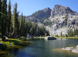
Hike to George Lake
9.2 mi / 1050 ft gainThe hike to George Lake starts out about 4 miles after you turn off 168 onto Kaiser Pass Rd. You'll want to park at the parking lot right before Badger Flat Campground. The parking lot is easy to notice and it is located on the right hand side of the road, two pit toilets and bear lockers are loc...Read more -
Lakeshore, California
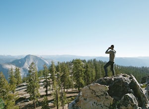
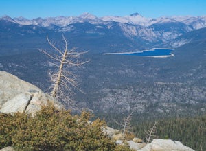
Hike to White Bark VIsta
2.3 mi / 462 ft gainA short 1 mile hike in from Kaiser Pass will lead you to the top of a ridge line with incredible views toward the east. There are two pit toilets located at the top of Kaiser Pass. If you have a high clearance, 4x4/AWD vehicle you can probably drive to this location. (I made it up here in a stock...Read more -
Mariposa County, California
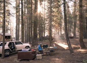
Camp at Crane Flat Campground
Crane Flat Campground is located on the Big Oak Flat Road (Highway 120) just west of Crane Flat, about 30 minutes northwest of Yosemite Valley. Sites are open July-October at $26/night. More info at https://www.nps.gov/yose/plany...Read more -
Tuolumne County, California
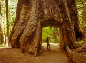
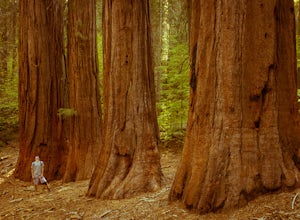
Tuolumne Grove of Giant Sequoias
4.22.67 mi / 653 ft gainThe Tuolumne Grove of Giant Sequoias is one of three sequoia groves in Yosemite National Park. This particular grove has gorgeous forest scenery and provides great solitude compared to the crowded Yosemite Valley. The trail used to be an old road offering a wide path with a gradual descent, makin...Read more -
Mariposa County, California
Merced Grove
5.03.32 mi / 600 ft gainMerced Grove is technically the smallest and most secluded of the three sequoia groves found in Yosemite National Park, which lends itself to be less crowded offering a peaceful solitude hike. The trailhead is located at the Merced Grove parking lot on Big Oak Flat Road. This trail begins by foll...Read more -
Mariposa County, California
Porcupine Creek Trail to Indian Ridge Natural Arch to North Dome
10.04 mi / 2089 ft gainPorcupine Creek Trail to Indian Ridge Natural Arch to North Dome is an out-and-back trail where you may see beautiful wildflowers located near Yosemite Valley, California.Read more -
Mariposa County, California
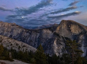
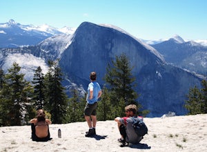
Backpack to North Dome in Yosemite
5.08.8 miTo stay overnight in Yosemite without a reserved campsite requires a "Wilderness Permit" to camp, but you can camp anywhere. However, any fires need to be in pre-made fire pits (so rangers can know where to check for fires) Day 1 - Hike in from the Porcupine Trailhead off of Tioga Road in to vie...Read more

