Belmont, California
Belmont, California is a top destination for outdoor adventures, offering some of the best trails and outdoor activities. One must-visit trail is the Water Dog Lake Park Trail, a moderate difficulty trail that spans 3.8 miles. Along this scenic route, hikers can enjoy views of the beautiful Water Dog Lake and encounter unique rock formations. If you're up for a challenge, the Sugarloaf Mountain Trail is a 2.8-mile trail that boasts panoramic views from the summit. For those interested in bird watching, the Crystal Springs Reservoir offers a rich array of bird species. Near Belmont, the Pulgas Ridge Open Space Preserve is another great spot for hiking and wildlife viewing. These outdoor attractions in and near Belmont are sure to satisfy anyone seeking adventure and natural beauty.
Top Spots in and near Belmont
-
San Francisco, California
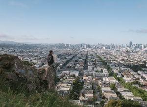
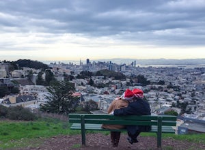
Bernal Heights Park
4.70.95 mi / 128 ft gainBernal Heights Park is an excellent week night adventure for those who need an escape from the city. Sit atop this small, grassy peak in peace and look out over the San Francisco skyline. Park on the street bordering the park and follow a pathway that leads up to the top. You will be instantly g...Read more -
La Honda, California
Hike Peters Creek and Long Ridge
4.05.7 miFrom the parking lot, take the connector trail towards the Peters Creek Trail for 0.4 miles. As you descend into a small valley, notice the sound of running water that appears. When you reach the first trail intersection, turn left on the Peters Creek trail. This will give you your first encounte...Read more -
San Jose, California
Catch a Sunset at Alviso Marina County Park
3.09 mi / 72 ft gainThis tranquil 20.6 acre park is open year round from 8am to sunset. It’s the gateway to the Don Edwards San Francisco Bay National Wildlife Refuge. It is filled with boardwalks, trails, and all kinds of wildlife. I went here with the sole intent of catching a pretty sunset after a long week. I g...Read more -
San Francisco, California
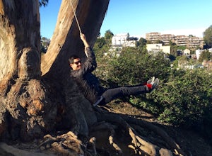
Swing at Billy Goat Hill
3.5Billy Goat Hill Park is located in the Glen Park neighborhood of San Francisco. The park has street parking at the top of the park on Beacon Street or at the base of the park on Ladley Street. Getting to the swing is only a short walk up or down the stairs that run through the middle of the park....Read more -
San Francisco, California
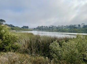
Lake Merced Loop
4.74.53 mi / 180 ft gainLake Merced Loop is a loop trail in the southwestern part of San Francisco. This trail is used for running and walking. You'll see plenty of people getting exercise or taking their dog for a stroll. There are also benches and tables around the loop. The lake itself is fresh water and is used for...Read more -
San Francisco, California
Bouldering at Glen Canyon Park
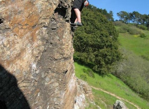
5.0Want to get out of the climbing gym, and do some bouldering in the city? Head to Glen Canyon park! After you park the car, take a short hike on a shade-covered path to the boulders. This climbing spot has history dating back to the 1930s when people first started scaling these boulders. This is a...Read more -
San Francisco, California
Paddle at Crane Cove
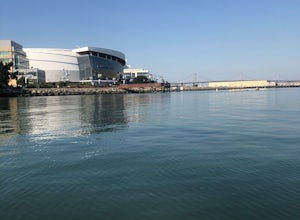
5.0Crane Cove is a beautiful waterfront park with access for paddle boards and kayaks. This area is protected from the wind (it will be less choppy here than in the middle of the bay). If you decide to paddle up to mission bay or down towards Islais Creek you'll most likely face more currents and w...Read more -
San Francisco, California
Glen Canyon Park Trail
5.01.76 mi / 394 ft gainGlen Canyon Park Trail is a loop most commonly used for running or hiking in the southwestern side of San Francisco, California. Parking for the loop is street parking, so be sure to take any valuables out of the car with you. Note: There are restrooms available at the Glen Canyon Recreation Ce...Read more -
San Francisco, California
Mount Davidson
4.51.03 mi / 299 ft gainMount Davidson Park is located in the southwestern part of the city nestled between Diamond Heights and Portola Dr. The climb isn't too difficult, but to reach the top of the 928ft summit, you should wear close-toed shoes and be ready for some loose gravel or mud if it's been raining. The hike is...Read more -
San Francisco, California
Fort Funston Trail
4.71.81 mi / 253 ft gainFort Funston is an SF gem I discovered when looking for a dog friendly hike near the city. Located west of Lake Merced, you'll find a gorgeous Northern California beach oasis where you and your dog can run wild and free :). Parking is located at the top of the park where you'll descend a steep se...Read more -
San Francisco, California
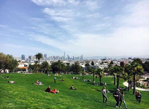
Park Day at Dolores Park
4.0If the sun is shining, and you’re in the mood for playing around with friends in one of SF’s many amazing parks, Dolores should be at the top of your list. With amazing views of downtown, huge tiered lawn areas, tennis courts, basketball courts, a brand new playground, and easy access to some of ...Read more -
San Francisco, California
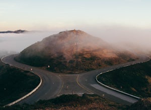
Catch a Sunset at Twin Peaks
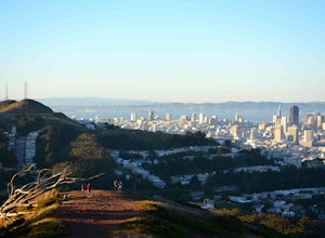
4.6Most locals have heard of Twin Peaks, so if you hop in an Uber or Taxi you should be just fine. If not or you are driving yourself, head for Twin Peaks Boulevard, then just follow it to the top. Voila!When you're there, be sure to catch a sunset, as it is absolutely breath-taking, If you are luck...Read more -
San Francisco, California
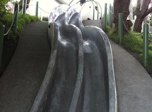
Take a Ride on the Seward Street Slides
4.2Tucked away in a small neighborhood park in Eureka Valley is a set of really fun, slippery, and surprisingly steep concrete slides. They were originally designed by a 14 year old kid over 30 years ago, and we all owe him a big hat tip. People use a variety of sliding materials (saucers, food tray...Read more -
San Francisco, California
Tank Hill
4.30.14 mi / 49 ft gainLooking for a cool, under-the-radar spot that’s perfect for picnics, chilling out, and chasing the sunset? Look no further than Tank Hill. This little gem of a mini-park is 650 feet high and tucked away in Cole Valley. It’s so small that many maps of San Francisco don’t even include it. To get ...Read more -
San Francisco, California
Twin Peaks Loop
4.02.04 mi / 259 ft gainThere are a ton of ways to get here (and obviously that can affect the total distance) but this is starting from Clarendon. Follow along up Twin Peaks boulevard where you'll see the peaks upon your approach. Keep an eye out for traffic as there may be visitors driving toward and away from Twin Pe...Read more -
San Francisco, California
Vulcan Steps
5.00.18 mi / 79 ft gainVulcan Steps is an out-and-back trail that takes you past scenic surroundings located near San Francisco, California.Read more

