California
Looking for the best backpacking in California? We've got you covered with the top trails, trips, hiking, backpacking, camping and more around California. The detailed guides, photos, and reviews are all submitted by the Outbound community.
Top Backpacking Spots in and near California
-
Twentynine Palms, California
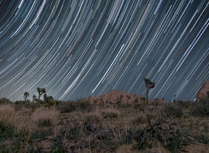
Boy Scout's Trail in Joshua Tree
4.516.12 mi / 1539 ft gainThe Boy Scout trail connects the main part of the National Park to the outer rim campground, Indian Cove Campground. All backcountry overnight trips must be registered at a registration board (free, self-registration). Start this trip at the registration board located in either Indian Cove Campgr...Read more -
Tuolumne County, California
Backpack Chewing Gum Lake
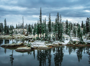
3.34.5 mi / 1000 ft gainChewing Gum Lakes is located in Emigrant Wilderness, South of Lake Tahoe and North of Yosemite, with stunning valley views and gorgeous granite faces, peaking through the tree lines of the Stanislaus National Forest. Sitting just north of Yosemite allows you to take in a portion of the beauty of ...Read more -
Crescent City, California
Devil's Punchbowl, Six Rivers National Forest
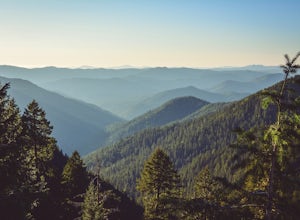
4.08.33 mi / 1660 ft gainLocated in extreme Northern California, the Siskiyou Mountains are the largest sub-range of the Klamath Mountain range and among the most rugged. The Siskiyou Wilderness, designated in 1984, encompasses three national forests: Siskiyou, Klamath and Six Rivers for a total of 182,802 acres. Because...Read more -
Yosemite National Park, California
Winter Backpack to Sentinel Dome in Yosemite
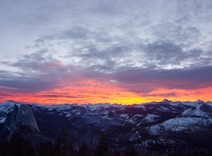
5.019.23 mi / 860 ft gainThe goal for our weekend was to do some winter camping in the Yosemite backcountry; we decided on Sentinel Dome as our destination. The trail is a cakewalk during the summer, but winter turns it into a 10 mile uphill grind from the car. Most people opt to head for the ski hut at Glacier Point, bu...Read more -
Markleeville, California
Backpack to Grouse Lake
4.711.43 mi / 2283 ft gainIt is a 6 mile hike to Grouse Lake. You begin at the trailhead which is right by Damsite Campground at Upper Blue Lake. Park in the dirt parking area and then cross the metal footbridge, and you will see the trailhead marker on your left. The trail takes you into the Mokelumne Wilderness. Follow...Read more -
Point Reyes Station, California
Bear Valley to Coast Camp Loop
5.016.18 mi / 2818 ft gainPermit and Trail Camp Info To stay overnight in Point Reyes, you must stay at one of the Trail Camps. Camping anywhere else in the park is not allowed. Permits for the Trail Camps can be booked up to 6 months in advance. If you are looking to go on a weekend, then you'll want to start loo...Read more -
Carmel-by-the-Sea, California
Pat Springs via Skinners Ridge
3.513.18 mi / 3645 ft gainBackpacking to Pat Springs is a way to see Big Sur and the San Lucia mountains from a perspective that few get to experience. The Ventana Wilderness is rugged and remote, yet Pat Springs is one of the most beautiful campgrounds around that will allow you to take in this amazing terrain. To get ...Read more -
Tahoma, California
Susie Lake, Desolation Wilderness
5.07.96 mi / 1496 ft gainStarting at the Glen Alpine trailhead (best access to Susie Lake): To get to the trailhead, head toward Fallen Leaf Lake in South Lake Tahoe. From HWY 89, turn onto Fallen Leaf Rd and drive past the summer homes and marina until you reach a small firehouse on the left side of the road. You'll fol...Read more -
Kyburz, California
Hike Pyramid Peak
5.0Although it stands only slightly higher than its neighbors, Pyramid Peak nonetheless dominates the Crystal Range atop which it sits. Great views from the summit make this a must-do.The Route: The route is fairly straightforward to Lake Sylvia (see map). Simply follow the well-defined Lyons Cr...Read more -
Malibu, California
La Jolla Valley Walk-In Camps
5.010.58 mi / 2146 ft gainHello Friends! I just took a really chill overnight backpacking trip to the La Jolla Valley Backcountry campsite and I’m going to give you some details so you can have as nice of an outing as I did! The trailhead is conveniently just off of the Pacific Coast Highway, across the street from the T...Read more -
Sequoia National Park, California
Hike to Pear Lake via the Lakes Trail
5.012.4 mi / 2300 ft gainThe Lakes Trail to Pear Lake can be done as either an overnight stay or a day hike. For overnight, you'll need to get a permit but there are beautiful camping spots available at both Emerald Lake and Pear Lake. As a day hike, plan to spend all day since you'll undoubtedly pause at each lake for...Read more -
Pescadero, California
Hike the Canyon Rim Route in Butano State Park
5.011.7 miLocated deep within the Santa Cruz Mountains, Butano State Park boasts a large redwood canyon with many miles of hiking trails as well as campsites. This state park is one of the quietest and least visited parks on the peninsula making a perfect place to escape the hustle of the Bay Area Butano S...Read more -
Three Rivers, California
Backpack to Crystal Lakes
5.09.8 mi / 2200 ft gainThe trail to Crystal Lakes begins at the Timber Gap/Sawtooth Trailhead (7,800 feet elevation), which is located at the end of Mineral King Valley Rd. The trail immediately ascends through a meadow boasting dramatic alpine views and a roaring waterfall. Eventually you'll cross Monarch Creek and b...Read more -
Lakeshore, California
Evolution Valley via Florence Lake
4.530.36 mi / 3238 ft gainYou can get to the Evolution Basin a variety of ways, but the easiest is through the Florence Lake Trailhead. Here, you can choose to either take the Florence Lake Ferry across the lake, or save $25 and hike the extra 4 miles around the lake. Personally, I would choose the ferry. About five mile...Read more -
Temecula, California
Dripping Springs Trail
4.013.68 mi / 3287 ft gainThe trail immediately begins to climb out of the campground on a well-graded incline. The next mile contains some climbing leading to a set of switchbacks. A long strenuous climb ensues until the 3200' elevation is reached. The trail then makes an easy southward traverse to the basin before resum...Read more -
Garberville, California
King's Peak via Lightning Trailhead
5.04.79 mi / 1942 ft gainKing's Peak is the tallest peak in the King Range, the home of the famous and spectacular "Lost Coast". At an elevation of 4,000' and less than 3 miles from the ocean, King's Peak provides stunning views in all directions: of canyons, beaches, foggy valleys, and the many greenhouses that dot the ...Read more

