California
Looking for the best backpacking in California? We've got you covered with the top trails, trips, hiking, backpacking, camping and more around California. The detailed guides, photos, and reviews are all submitted by the Outbound community.
Top Backpacking Spots in and near California
-
Bishop, California
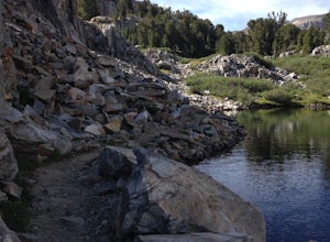
Backpack into the Palisades from Bishop Pass
18 mi / 4000 ft gainDrive up to the trailhead near South Lake from the town of Bishop (you can get directions at the Ranger Station when you get a permit). The hike goes from approximately 9,000 ft. to 13,000 ft. over the course of 9 miles.The first approximately 6 miles are on trail to the top of Bishop Pass. From ...Read more -
Madera County, California
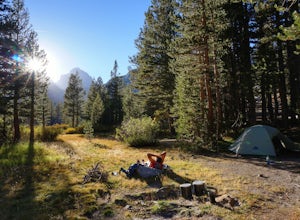
John Muir Trail: Camping at Lake Ediza Junction
NOTE: there are some camping closures in this area. Read here for more details. The Lake Ediza Junction has several great spots to camp. Try to find a spot that will have long afternoon sun as some spots will fall under the shadow of the ridge to the west. There are some sunny campsites along the...Read more -
Mammoth Lakes, California
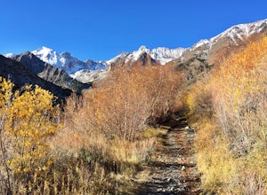
Hike to Steelhead Lake through McGee Creek Canyon
5.011.5 mi / 2510 ft gainWhether you’re looking for a dayhike near Mammoth Lakes, planning a backpacking trip along the JMT, or have a few extra hours to spare on a cross-California road trip, this is an easy and popular trail choice for killer mountain views.I was delighted to discover that this is one of the most easil...Read more -
Mammoth Lakes, California
Backpack from Mammoth Mountain to Yosemite Valley via the John Muir Trail
5.052 mi / 6300 ft gainCross country hiking can be a daunting idea. There are so many things to plan for, and such a long distance to cover. If you are an experienced backpacker, and you want to get a taste of hiking on the John Muir Trail this hike might interest you. Planning GPS Map (Caltopo): https://caltopo.com...Read more -
Tuolumne County, California
Backpack Grand Canyon of the Tuolumne
5.048.29 mi / 10610 ft gainThis is a rugged overnight backpack into the North country of Yosemite dropping in from Tuolumne Meadows into the Grand Canyon of the Tuolumne. The trail begins at an elevation just under 9,000' and drops to a low elevation of 4,500' almost 19 miles later at Pate Valley. Coming up out of Pate Val...Read more -
Lee Vining, California
Backpack Virginia Lakes to Green Creek
10.5 mi / 1234 ft gainKeep in mind that this is a point to point hike, so you will need to park a vehicle at Green Creek trailhead in Bridgeport as well as your start point at Virginia Lakes Resort.Starting at 9,886' at The Virginia Lakes Trailhead, you will begin by heading Northwest towards Virginia Pass. During yo...Read more -
Mariposa County, California
Hike to Tuolumne Peak Plateau
11.7 mi / 1800 ft gainThe most direct route begins at Murphy Creek trailhead, on the north side of Tioga Road near Tenaya Lake. Walk north on Murphy Creek trail for 2.5 miles with minimal elevation gain. Polly Dome Lakes are a great side trip via the social trail on the right side of the trail before the first junctio...Read more -
Fresno County, California
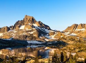
John Muir Trail: Camping at Pinchot Pass
After the mild, but not negligible, 1000 ft ascent into Pinchot Pass, you'll be ready to rinse off the grime and take a rest. There are a few options for lakeside camping along the trail like Twin Lakes and an unnamed lake on the west side of the trail just beyond.This is a cool area because the ...Read more -
Maricopa, California
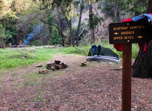
Bear Trap Campground via Gene Marshall/Piedra Blanca Trail
9.59 mi / 2211 ft gainThere's no better feeling then camping out and having a whole site to you and your friends...wouldn't you agree?!?! ...Deep in the Sespe Wilderness in Ojai, California sits a tucked away, well-managed campsite called "Bear Trap Campground". This campsite can be reached at any point of the year a...Read more -
Lakeshore, California
John Muir Trail: McClure Meadows
The transition from mostly sheer granite slopes to open grassy space is a welcomed one. Set up along the creek meandering through Evolution Basin and explore the area. You won't tire your legs out because it's pretty flat. Whip out your camera to catch some amazing reflections of the Sierra in th...Read more -
Bridgeport, California
Backpack to Green Lake and Virginia Pass
17 mi / 4452 ft gainDay 1 Green Creek Trailhead to Green Lake When we went on this hike, it was primarily to explore the area and see if it would be a feasible entrance to Northern Yosemite for extended backpacking trips. However, it also is a great two night trip to a lovely area of the Hoover Wilderness. Best...Read more -
Shasta County, California
Hike to the top of South Fork Mountain
5 mi / 4181 ft gainStarting from the Kanaka Peak Trailhead, follow the Kanaka Peak Trail all the way, continuing on past the Peltier Trail Junction and the Kanaka Cutoff Trail Junction until the trail begins to head east (about 2-2.5 miles from the trailhead) and there is a gently sloping hill on your right that is...Read more -
Pinecrest, California
Backpack to Chain Lakes
4.4 mi / 864 ft gainThis trip begins at ~7500 feet at the Box Springs Trailhead This trail is at the end of Forest Route 3N20Y. The trail, which is not regularly maintained and may at times be hard to follow, initially descends slightly to 7300', then stays mostly flat before rising just before the lakes. You will p...Read more -
Yosemite National Park, California
Backpack to Johnson Lake
24 mi / 4500 ft gainYour trek begins at the Chilnualna Falls trailhead in Wawona near the South Gate in Yosemite. The first suggestion I have is to check the weather in the area to make sure you won't be slowed down by rain or snow. It's about 12 miles from the trailhead to the lake and if you are a swift hiker and ...Read more -
Los Olivos, California
Dispersed Camp in Los Padres National Forest (near Davy Brown Campground)
7 mi / 2000 ft gainI was looking for a last minute adventure out of LA and found this epic view. Easy backpacking trip for one night, no permits needed, less than 3.5 hours from LA, and secluded. Go to REI and pick up your adventure pass for your car. Plug into your GPS "Davy Brown Campground" in Los Olivos / Los...Read more -
Mariposa County, California
Mt. Hoffman via May Lake Trailhead
5.55 mi / 2140 ft gainThe May Lake trailhead is at the end of a 2-mile unpaved road leading north from Tioga Road. The trailhead has pit toilets and bear lockers. (Please be sure to store any food, garbage, scented items, and empty coolers in these lockers while hiking!) After hiking an easy 1.3 miles, you'll arrive ...Read more

