Scottsdale, Arizona
Top Spots in and near Scottsdale
-
Black Canyon City, Arizona
Hike the Badger Spring Wash Trail
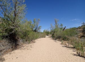
3.54 miBadger Spring Wash is a dry stream bed most of the year. This trail starts from the Badger Spring Trailhead just off Route 17 north from Phoenix. The trail follows the stream bed, sometimes in or along side for 1.5 miles. At about one mile, you reach the spring and a good amount of water which is...Read more -
Buckeye, Arizona
Hike Valley Vista from Turnbuckle Trail
5.02 miThe Valley Vista trail is a short hike in Skyline Regional Park, located in the southern region of the White Tank Mountains west of Phoenix. From the top you'll have a great view of the Estrella Mountain Range and the southwest valley. For the most direct route, take the Turnbuckle trail. This...Read more -
Cordes Lakes, Arizona
Crown King OHV Trail
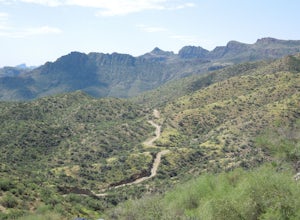
4.024.85 mi / 3497 ft gainCrown King OHV Trail is a point-to-point trail that takes you past scenic surroundings located near Mayer, Arizona.Read more -
Roosevelt, Arizona
Visit Tonto National Monument
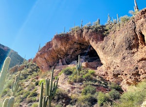
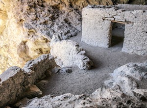
3.71.5 mi / 305 ft gainExplore two remarkably preserved American Indian cliff dwellings that date back to the 13th century. Set within a shelter bluff on the side of steep cliffs, the Upper and Lower Cliff Dwellings are well protected, and have great views of the surrounding Sonoran Desert. If you get to the park early...Read more -
Rogers Trough Trailhead, Arizona
Hike Rogers Canyon Trail
5.08 mi / 1108 ft gainThe Superstition Wilderness is a vast rugged landscape where you can find the cultural remains of ancient Hohokam, Salado, Apache, and Yavapais tribes. Rogers Canyon Trail takes you to one of the most impressive and best preserved archaeological sites this region has to offer. These Salado ruin...Read more -
Pinal County, Arizona
Photograph Elephant Arch
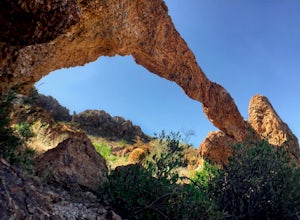
4.00.4 mi / 250 ft gain...For this very short stroll to Elephant Arch, I'd like to clarify that it's more of a sightseeing and/or photo opportunity trip than a hiking trip. It's so close that it can be seen from the side of the road. So just forewarning! Nonetheless, if you love natural wonders then it's a landmark you...Read more -
Mayer, Arizona
Verde Rim Loop Trail
14.32 mi / 2631 ft gainVerde Rim Loop Trail is a loop trail where you may see beautiful wildflowers located near Camp Verde, Arizona.Read more -
Yavapai County, Arizona
Verde Hot Springs
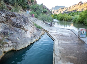
3.32.46 mi / 118 ft gainThe pools at the Verde Hot springs are the remnants from an old resort built in the 1920's. The resort was a once thriving tourist attraction and also rumored to be one of Al Capone's hideouts. In the 1960's a fire destroyed the resort only leaving behind the foundation and the thermal pools al...Read more -
Superior, Arizona
Hike Picketpost Mountain
4.74.4 mi / 2200 ft gainFrom the parking lot you will start out on the Arizona Trail until you reach the turn off to begin your accent up the mountain. This part of the trail isn't well maintained, and is a scramble, so be ready to use those hands. The trail is marked with cairns though and there is enough traffic tha...Read more -
Pine, Arizona
Hike the Pine Creek Loop in Tonto Natural Bridge SP
4.71.8 mi / 300 ft gainThere is a fee to enter this area. It was $7 when we went. There are 4 trails with many viewpoints from the parking lot, all of which are out and back. We followed the recommendation of the ranger working at the visitor's center and took the Gowan Trail down to the observation deck located in the...Read more

