Pine, Arizona
Top Spots in and near Pine
-
Payson, Arizona
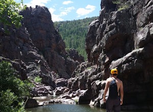
Canyoneering at Christopher Creek/Box Canyon
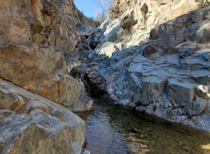
5.02 mi / 200 ft gainJust a little bit east of Payson Arizona is a canyoneering playground called Christopher Creek Canyon (aka Box Canyon). The water is nice and cold, and is only muddy after rainstorms. Make your way from pool to pool as you descend through the canyon, cliff jumping, rappelling, and down climbing. ...Read more -
Yavapai County, Arizona
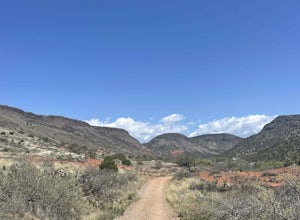
Bell Trail
7.12 mi / 591 ft gainBell Trail is an out-and-back trail that takes you by a river located near Rimrock, Arizona.Read more -
Yavapai County, Arizona
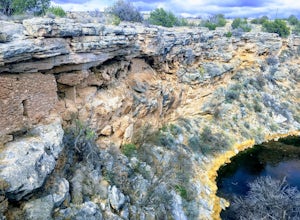
Hike to Montezuma's Well
5.00.5 mi / 117 ft gainThis trail takes you to the rim of Montezuma Well, a massive collapsed limestone sinkhole. The springs at the bottom of the sinkhole feed a large pond which supports a unique aquatic habitat in this dry landscape. Scientists are still baffled as to the origin headwaters of the water within this c...Read more -
Payson, Arizona
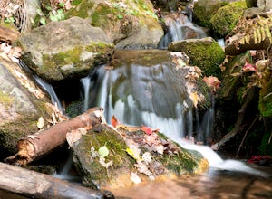
Hike See Canyon Trail
5.07.6 mi / 2043 ft gainSee Canyon Trail #184 is a 7.6 mile trail in the Tonto National Forest that features a creek and spring. This trail is most popular during the fall when the leaves begin to change color and fall along the creek. The trail runs from the parking lot up to FS 300 above the rim. The trail starts of...Read more -
Yavapai County, Arizona
Explore Montezuma's Castle National Monument
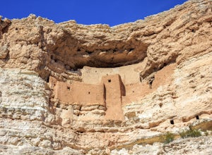
4.6Montezuma Castle is actually one of the United State's first National Monuments. This five story 50 room cliff dwelling is one of the best preserved in all of North America. There is a short interpretive walk along the cliff in which one can see the many remnants of the previous inhabitants.The S...Read more -
Camp Verde, Arizona
Copper Canyon Loop Trail 504
5.03.75 mi / 384 ft gainCopper Canyon Loop Trail 504 is a loop trail that takes you by a waterfall located near Camp Verde, Arizona.Read more -
Payson, Arizona
Dispersed Camping on Mogollon Rim (FR 9350)
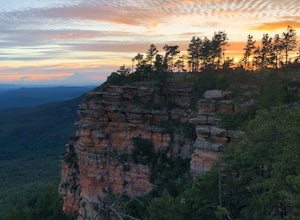
4.7Dispersed camping with a view! With no site fees and no reservations, this camping spot is incredibly popular. Note that several campsites are bordered by a 200' vertical drop. This area is not recommended for families with young children or people who are uneasy with heights. All campsites ha...Read more -
Coconino County, Arizona
Fish Woods Canyon Lake
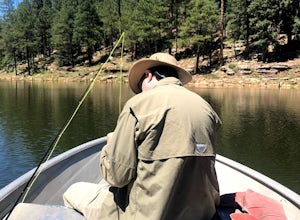
You can rent a charming metal fishing boat at the Woods Canyon Lake Marina, or bring your own (if you’re bringing your own boat, make sure you bring a PFD too, as it’s Arizona law). Note that gas motors are NOT permitted on boats (only trolling motors). This makes it an incredibly quiet experie...Read more -
Coconino County, Arizona
Hike Woods Canyon Lake Loop Trail
5.03.7 mi / 154 ft gainThis hike is a ~4 mile heavily trafficked loop trail that circles Woods Canyon Lake, on the beautiful Mogollon Rim. Peaceful and easy, this trail is suitable for all skill levels, and is great for families looking to spend a bit of time in nature. The trail follows the shoreline closely, and fo...Read more -
Woods Canyon Lake, Arizona
Kayak Woods Canyon Lake
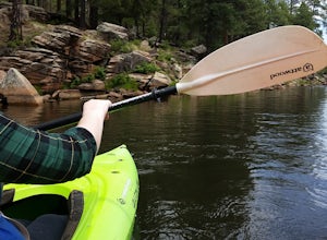
5.0Is there any better way to spend a Saturday, then paddling on a glassy, peaceful lake? You can rent kayaks at the Woods Canyon Lake Marina, or bring your own (if you’re bringing your own kayak, make sure you bring a PFD too, as it’s Arizona law). One of the best parts of this lake is that w...Read more -
Payson, Arizona
Hike on Rim Lakes Vista Trail #622
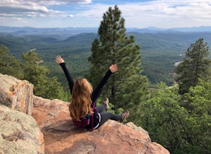
3.5 miThis heavily trafficked, easy trail leads along the edge of the Mogollon Rim, with spectacular views. There are lots of places for photos, but make sure to be very careful, as it’s more than a 200 ft drop! The first ½ mile of the trail is paved, making it easy for all ages to enjoy. But again, ...Read more -
Black Canyon City, Arizona
Explore Pueblo La Plata
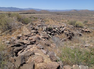
0.25 miPueblo La Plata is the largest ancient Indian ruin in Agua Fria National Monument and dates back to before 1200 A.D. The ruin at one time had 80 to 90 rooms for living quarters. Now the sight seems like just a pile of rubble. However there is significant research continuing on the mesa of Agua Fr...Read more -
Sedona, Arizona
Baby Bell Rock
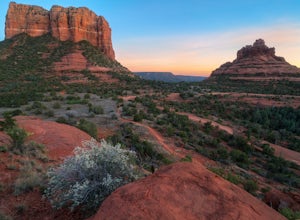
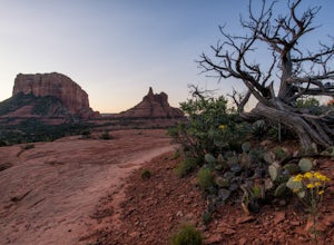
5.01.03 mi / 112 ft gainAt roughly a 1 mile loop, the Bell hike is a short but very sweet hike with high reward, it's an amazing spot to sit an watch the sun dip below the horizon and if you're lucky, may even have the view to yourself. Accessing the hike is best started at the Bell Rock Parking lot, if you're heading ...Read more -
Sedona, Arizona
Bell Rock Trail
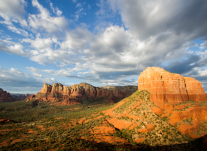
4.60.78 mi / 210 ft gainThe Bell Rock Trail in Sedona is a relatively easy hike with a majestic reward. It is a well maintained trail that with plenty of views to keep your eyes happy. Don't be surprised if you catch yourself turning around every 5 minutes and saying, "wow, this is gorgeous!" The trail itself is only ~...Read more -
Sedona, Arizona
Courthouse Butte Loop
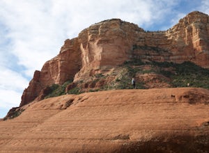
5.03.83 mi / 331 ft gainWhile most people stop to hike the Bell Rock Trail, you can get away from the congestion and madness by tackling the nearby Courthouse Butte trail. This moderate hike is 4.5 miles roundtrip over relatively flat ground on a well maintained trail. To get to the trailhead, park in the Courthouse V...Read more -
Sedona, Arizona
Hike or Bike the Hiline Trail in Sedona
5.08 mi / 480 ft gainStart this incredible hike by parking at the Yavapai Point parking lot. Start the short hike (0.13 miles) on the Kaibab Trail which will run into Yavapai Vista Trail (0.27 miles) towards the Slim Shady Trail. Here you will have an incredible view of Bell Rock and Courthouse Vista an excellent pla...Read more

