Camp Verde, Arizona
Top Spots in and near Camp Verde
-
Black Canyon City, Arizona
Zig Zag Trail
3.04.61 mi / 436 ft gainZig Zag Trail is a loop trail that takes you by a river located near Canyon City, Arizona.Read more -
Black Canyon City, Arizona
Government Springs Trail
5.011.04 mi / 741 ft gainGovernment Springs Trail is a loop trail that takes you by a river located near Mayer, Arizona.Read more -
Happy Jack, Arizona
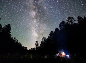
Car Camp the Mogollon Rim
4.8The Mogollon Rim is part of the Colorado Plateau in eastern Arizona above Payson. The rim stretches across the Coconino National Forest and at some parts drops off nearly 2,000ft. This area is ideal for over-night car-camping. The expansive vistas above thousands of acres of national forest land ...Read more -
Black Canyon City, Arizona
Castle Creek Road to Cleator
4.010.59 mi / 1677 ft gainCastle Creek Road to Cleator is a point-to-point trail where you may see beautiful wildflowers located near Black Canyon City, Arizona.Read more -
Black Canyon City, Arizona
Explore Pueblo La Plata
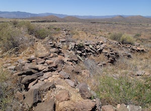
0.25 miPueblo La Plata is the largest ancient Indian ruin in Agua Fria National Monument and dates back to before 1200 A.D. The ruin at one time had 80 to 90 rooms for living quarters. Now the sight seems like just a pile of rubble. However there is significant research continuing on the mesa of Agua Fr...Read more -
Sedona, Arizona
Hike up Cookstove Trail
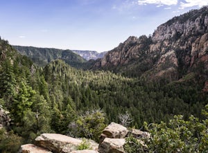
1.6 mi / 800 ft gainEither a compliment to a night spent at the Pine Flat Campground or a quick day hike to top of your Sedona/Oak Creek adventure, this short hike will give you an alternative, but comparatively gorgeous view of the Sedona Area.This trail starts just north of Pine Flat Campground near milepost 387 a...Read more -
Prescott, Arizona
Camp at Watson Lake in Prescott
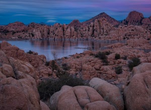
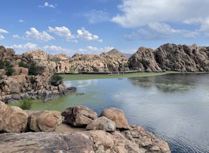
3.0Camping sites are only available in the summer months but the park is explorable year round! Watson Lake is a very unique place, in a state primarily made up of sandstone lies a lake surrounded by uniquely shaped Granite Boulders, excellent for hiking, rock climbing and photographing! Be sure to ...Read more -
Prescott, Arizona
Kayak at Watson Lake
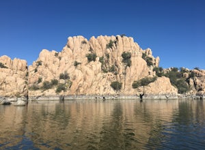
5.0Watson lake is relatively small so it makes a great place for beginners to kayak. One end of the lake is surrounded by large granite dells. Depending on the water levels you can kayak around and in between many of them. We kayaked around for about 2 hours before we felt like we had seen everythin...Read more -
Prescott, Arizona
Watson Lake and Flume Trail Loop
4.63 mi / 381 ft gainThe Watson Lake and Flume Trail is a 4.5 mile loop hike that takes you next to Watson Lake near Prescott, AZ. This trail also makes for a great workout if you throw on your running shoes. Keep in mind there is no shade, so pack water and sunscreen accordingly. Thinking about getting on the wate...Read more -
Flagstaff, Arizona
Climb Red Wagon at the Oak Creek Canyon Lookout
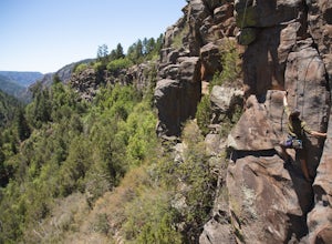
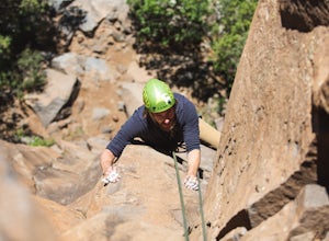
5.8, 80ft trad climb at the Oak Creek Canyon Lookout. To get there, take the 89A North from Sedona, or South from Flagstaff. Then you will see signs for the Oak Creek Canyon Lookout. Take the turn off and park in the lot. If you think you will stay beyond closing, park across the street so you d...Read more -
Flagstaff, Arizona
Climb Morning's Mourning at the Oak Creek Canyon Lookout
5.8+, 80ft trad climb at the Oak Creek Canyon Lookout. To get there, take the 89A North from Sedona, or South from Flagstaff. Then you will see signs for the Oak Creek Canyon Lookout. Take the turn off and park in the lot. If you think you will stay beyond closing, park across the street so you ...Read more -
Payson, Arizona
Mogollon Rim via Washington Park
4.04.32 mi / 1138 ft gainThis trail begins at the Washington Park Trailhead which meets up with passage #27 of the AZT. You begin traveling northbound as you ascend the great Mogollon Rim. The trail takes you through a gorgeous forest and rewards you with an awesome cliff side view at the summit. 2.25 miles into the tra...Read more -
Payson, Arizona
Hike the Colonel Devin Trail
4 mi / 1116 ft gainThe hike will begin at Washington Park in Payson, Arizona. To reach Washington Park, take AZ87 to Forest Road 199 (Houston Mesa Road) and turn east. Continue for 10 miles until you reach Forest Road 64 and turn west. Traveling less than a mile you will turn north on Forest Road 32 and in 3 miles ...Read more -
Payson, Arizona
Cabin Loop Trail
18.82 mi / 2028 ft gainPeople think Arizona is all just desert, but this hike will show you otherwise. Up on the Mogollon Rim, this trail takes you past old cabins, through lush forest, and near many creeks. Day 1: (10 miles) Drive on Rim Road to the General Springs Trail Head. The cabin marks the start of the tr...Read more -
Williams, Arizona
Hike the Kelsey Spring/Hog Hill/Dorsey Spring Loop
13.4 mi / 2200 ft gainThis hike starts at the Kelsey Spring Trailhead. Park at the end of Forest Service Road 538G. There is parking for about 6-7 cars. Just past the signage for the trail, which is also called Kelsey Winter Trail, there is a trail registration box. Be sure to sign in. The trail descends steeply for t...Read more -
Payson, Arizona
Water Wheel & Ellison Creek Cascades
4.91.76 mi / 272 ft gainA short and easy out and back hike for adventurers of all ages with scenic waterfalls along the entire trip! Starting at the Water Wheel day use area you will simply follow the well traveled path that meanders alongside the creek. You will reach the first significant waterfall within minutes whi...Read more

