Upper Stillwater
Book this listing through our partner Recreation Gov
About Upper Stillwater
Overview
Upper Stillwater Campground is located below its namesake reservoir in the Rock Creek Drainage on the southern slope of the beautiful Uinta Mountains. Visitors enjoy fishing and exploring the popular Rock Creek Trail.Recreation
The Rock Creek Trail begins just outside the campground and provides access to the High Uintas Wilderness, where hiking, backpacking, horseback riding and backcountry fishing are very popular activities in this scenic region.Rock Creek offers rainbow and brook trout fishing. To access the reservoir, visitors must hike in; The road to the reservoir is not currently open to vehicle traffic.
Facilities
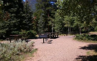
The campground contains one group site that can accommodate up to 32 people. It is equipped with picnic tables, grills, a campfire ring, three tent pads and RV parking. Single and double-family sites are available as well, each with a picnic table and campfire ring.Flush toilets, drinking water and trash collection are provided. A campground host is on-site. A dump station is located 3 miles away at Yellowpine Campground.
Natural Features
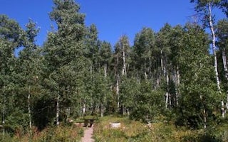
The campground is situated just below the Upper Stillwater Dam at an elevation of 8,000 feet. The concrete dam is visible from the campground. A forest of Ponderosa pine, lodgepole pine and aspen trees provides only sparse shade. Summer wildflowers are abundant.Upper Stillwater Reviews
Have you stayed here? Be the first to leave a review!
Top Spots in or near Hanna
Explore Grandaddy Basin
Hanna, Utah
5.0
Grandaddy Lake is the largest lake in the High Unitas. While Grandaddy Lake can have plenty of hikers, there are over twenty lakes within a two-hour hike within the Grandaddy Basin. Most hikers don’t go beyond Grandaddy lake, making the area a fantastic area to explore and camp. Elevation in the basin ranges from 10,000 - 10,500 feet. This basin is one of the greenest and most beautiful parts o...
Hike Little Deer Creek to Cataract Gorge
Wasatch County, Utah
4.0
4 mi
Little Deer Creek Canyon can be accessed from the Emerald Lake Highway (150) in the Uinta National Forest east of Kamas, Utah. Turn right onto Murdoch Basin Road (Forest Service Road 137) until it splits off to the road to Cataract Gorge (Forest Service Road 027). It is recommended you park here and hike down the Forest Service Road about a quarter mile until you turn right into the gorge. P...
Camp at Pyramid Lake in Murdock Basin of Utah's Uinta Mountains
Hanna, Utah
Grab a fishing pole, hammock, or book. Pyramid Lake is the perfect setting to kick back and relax in Murdock Basin of Utah's Uinta Mountains!
Pyramid Lake is at an elevation of 9,700 feet with a 1,000-foot tall mountain directly to the west of the lake. Due to this steep face butting up to the edge of the lake, the sun drops behind the mountain early, but it stays light long into the evening. ...
Camp up Murdock Basin Road
Kamas, Utah
4.0
Murdock Basin Road is located about 22 miles up Mirror Lake Highway (UT-150) from Kamas, UT. After turning right onto Murdock Basin Rd, you'll cross a bridge over the Provo River and then it's onto the dirt road. Sites are scattered on the left and right (I suggest the left side spots) with plenty to choose from. The road is washboard but not too rough and certainly passable without the need of...
Bald Mountain
Kamas, Utah
4.5
2.73 mi
/ 1050 ft gain
Bald Mountain is one of the most popular hikes in the Uintas, so get an early start if you want to beat the crowds. Those willing to hike in before dawn will be rewarded with an unforgettable sunrise at the summit. I HIGHLY recommend this as a sunrise hike.
The trail starts out with steep switchbacks for the first 0.6 mile, and then flattens out into a plateau. Towards the summit the trail ste...
Photograph Bald Mountain in Utah
Kamas, UtahBald Mountain is a 12,000' peak in the Uintas, and of the most popular hikes in the Uinta Mountains of Utah. If you're looking for more details on the hike, check out the adventure Hike Bald Mountain in the Uintas.
Not only is it incredible to photograph from the top, with panoramic views of dozens of lakes, but there are locations below, such as Mirror Lake, to highlight and photograph the Bal...
Camping and Lodging in Hanna
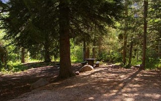
Hanna, Utah
Aspen (Ut)
Overview
Aspen Campground is nestled in the scenic North Fork Drainage just off Highway 35, about 13 miles from Tabiona, Utah.The North F...
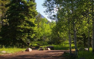
Hanna, Utah
Hades
Overview
Hades Campground is nestled in the scenic North Fork Drainage off Highway 35, about 17 miles from Tabiona, Utah. The North Fork ...
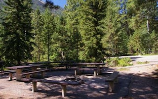
Hanna, Utah
Yellowpine
Overview
Yellowpine Campground is located next to Rock Creek in the Rock Creek Drainage on the southern slope of the beautiful Uinta Moun...
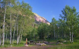
Hanna, Utah
Iron Mine
Overview
Iron Mine Campground in nestled in the scenic North Fork Drainage off Highway 35, about 18 miles from Tabiona, Utah. The North F...
Hanna, Utah
Rock Creek Group
Overview
Rock Creek Group Campground is located next to Rock Creek in the Rock Creek Drainage at an elevation of 7200 feet. The drainage ...
Hanna, Utah
Miners Gulch
Overview
Miners Gulch Campground is located next to Rock Creek in the Rock Creek Drainage at an elevation of 7,500 feet. The drainage sit...
Unfortunately, we don't have up-to date pricing data for this listing, but you can check pricing through Recreation Gov.
Book NowAdd your business today to reach The Outbound's audience of adventurous travelers.
Community
© 2024 The Outbound Collective - Terms of Use - Privacy Policy


