Mogote
Book this listing through our partner Recreation Gov
About Mogote
Overview
Mogote Campground is located along the Conejos River, making it a perfect location for fishing and hiking. The pleasant campground is well shaded by groves of ponderosa pine and a mixture of cottonwood, spruce, willow and aspen.The campground is also in close proximity to the Cumbres & Toltec Scenic Railroad, home of America's highest and longest, coal fired, steam operated narrow-gauge railroad.
Recreation
The Conejos River is a Gold Medal River, offering a high potential for trophy trout fishing. Rainbow and brown trout are the most common species in the river. Popular hikes include the 15-mile Elk Creek Trail and the 10.9-mile South Fork Conejos Trail.Facilities
Campsites are equipped with picnic tables and campfire rings with grills. Vault toilets, drinking water and trash bins are provided. An accessible toilet is located in the upper loop.No electric hookups are available. Firewood can be purchased on site.
Natural Features
The campground sits at an elevation of 8,400 feet, and is separated into an upper and lower loop. The lower loop sits along the fast-flowing Conejos River and many sites face the water. The campground is perched in a wooded section along the river valley.Rio Grande National Forest stretches across 1.86 million acres in south-central Colorado. The forest encompasses a myriad of ecosystems ranging from high elevation desert at 7,600 feet above sea level to rocky crags at over 14,300 feet in the majestic Sangre de Cristo Mountains.
Nearby Attractions
The Cumbres & Toltec Scenic Railroad can be accessed from Antonito. The train makes a 640-mile journey through abandoned mining towns, creating great entertainment for young and old.Mogote Reviews
Have you stayed here? Be the first to leave a review!
Top Spots in or near Antonito
Camp and Fish at Platoro Reservoir
Pagosa Springs, Colorado
5.0
Platoro is the blending of the Spanish words "plata" (silver) and "oro" (gold), and this secluded mountain reservoir strikes it rich when it comes to outdoor recreation. In 1870, gold and silver was discovered in area, which lead to a small boom in 1913 and the settling of the small town which still stands today. The prospectors and mule trains may have left long ago, but today the area attract...
Crater Lake in the South San Juan Wilderness
Pagosa Springs, Colorado
9.17 mi
/ 2133 ft gain
Holiday weekends can be frustrating for solitude seekers. The extra day to play always seems to be challenged by the expected crowds of competition for your sought after spots. Fortunately for those of us who prefer quieter pastures, Colorado's 3.5+ million acres of wilderness still hold plenty of hidden gems. One such hidden gem is (yet another) Crater Lake, tucked away in the South San Juan ...
Camp at Rio Grande del Norte National Monument
Questa, New Mexico
4.3
2.4 mi
/ 800 ft gain
Created in 2013 from partly existing public lands, The Rio Grande del Norte National Monument encompasses a large amount of land along the Rio Grande River from the Colorado border to south of Taos. Far from any major city, you'll likely enjoy trails to yourself in the morning and few other visitors in the off-season. One of the main activities offered on the monument is white water rafting, bu...
Treasure Falls
Pagosa Springs, Colorado
4.8
0.68 mi
/ 358 ft gain
Treasure Falls is reached via short 0.4 mile walk from the parking lot on highway 160 about 15 miles outside Pagosa Springs (which is home to the worlds deepest hot springs). There is a paved path and dirt trail that both end up at the falls and if you are inclined, make into a loop for 0.7 miles. There is a bridge that crosses the creek just below the falls or you can continue up a couple hund...
Relax in Black Rock Hot Springs
5 Reyna Road, New Mexico
0.3 mi
/ 68 ft gain
At the last switchback on Country Road B-007, is where the trailhead is located. if you've gone to the lowest point possible within the canyon, right next to the river, you have gone too far and need to turn around to the last switchback. it is an easy .3 Mile trail with a 68 foot elevation drop/gain.
The biggest, deepest, and greenish pool is the warmest out of the 3. If you need help getting...
Summit Blanca and Ellingwood Peaks
Lake Como Trailhead, Colorado
7 mi
/ 6800 ft gain
Blanca Peak is nestled at the heart (and the top) of a four peak ceiling located at the southern-most tip of Colorado's intimidating Sangre de Christo range. The peak is known for its impeccable 360 degree views, as you can see well over 100 miles in every direction thanks to Colorado's clean, crisp, thin air. The entire hike is roughly 17 miles round trip and should be done in two days. Ambi...
Camping and Lodging in Antonito
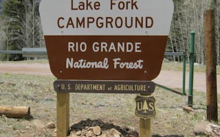
Del Norte, Colorado
Lake Fork(Rio Grande Natl Fore
Overview
Lake Fork Campground sits in the Rio Grande Forest, 40 miles northwest of Antonito, Colorado. The campground is a true getaway f...
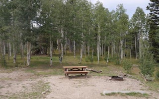
Tierra Amarilla, New Mexico
Hopewell Lake Campground
Overview
Hopewell Lake Campground sits next to its scenic namesake lake between Tres Piedras and Tierra Amarilla in northern New Mexico. ...
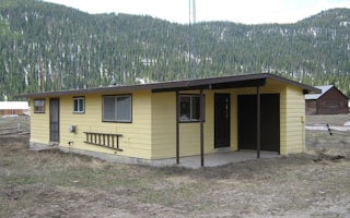
Antonito, Colorado
Platoro Cabin 1
Overview
Platoro Cabin 1 is located downtown in the small mining town of Platoro, Colorado, at an
elevation of 10,000 feet in the Rio G...
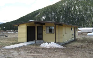
Antonito, Colorado
Platoro Cabin 2
Overview
Platoro Cabin 2 is located downtown in the small mining town of Platoro, Colorado, at an elevation of 10,000 feet in the Rio Gra...
Tres Piedras, New Mexico
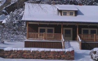
Aldo Leopold Cabin
Overview
NOT CURRENTLY ACCEPTING RESERVATIONS.
Recreation
Facilities
Natural Features
Nearby Attractions
Del Norte, Colorado
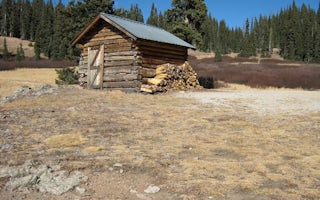
Elwood Cabin
Overview
Elwood Cabin sits in a saddle along the San Juan Mountains
overlooking an open meadow, offering guests a unique lodging
oppo...
Unfortunately, we don't have up-to date pricing data for this listing, but you can check pricing through Recreation Gov.
Book NowAdd your business today to reach The Outbound's audience of adventurous travelers.
Community
© 2024 The Outbound Collective - Terms of Use - Privacy Policy


