East Kootenay G, British Columbia
Looking for the best hiking in East Kootenay G? We've got you covered with the top trails, trips, hiking, backpacking, camping and more around East Kootenay G. The detailed guides, photos, and reviews are all submitted by the Outbound community.
Top Hiking Spots in and near East Kootenay G
-
Improvement District No. 9, Alberta
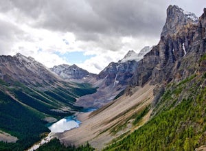
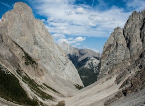
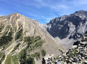
Scramble the Tower of Babel
4.01.94 mi / 1726 ft gainStarting at the Moraine Lake parking lot follow the trail East along behind the large pile of boulders along the lake shore. Once you reach the foot of the Tower of Babel scramble up the slope to heading towards the valley between the two peaks. The easiest route is along one of the cliff faces w...Read more -
Improvement District No. 9, Alberta
Hike the Cory & Edith Pass Trail
4.09.3 mi / 3002 ft gainGoing west from Banff, take the first exit for Highway 1A (Bow Valley Parkway). Take the first right up to the fireside picnic area and begin your hike here. The first 5kms of the hike climb uphill through the forest, making up most of the 915m elevation gain. Watch for trail markers over the ro...Read more -
Field, British Columbia
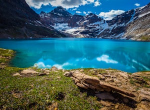
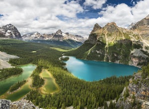
Explore Lake O'Hara
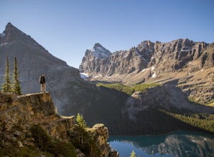
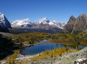
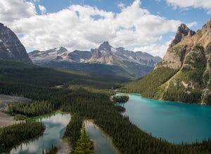
4.8Hidden deep in the Canadian Rockies is Lake O'Hara, a diamond among the rough peaks. Ten minutes drive east of a small town called Field in British Columbia, or sixty minutes west of Banff, Alberta; is a small parking lot where the adventure begins. A $25 return, 30 minute bus ride from there tak...Read more -
Field, British Columbia
Hike to the Opabin Prospect
5.02.5 mi / 820 ft gainLocated in Yoho National Park, Lake O'Hara is said to be the crown jewel of the Canadian Rockies (rightly so!). Callum Snape has described a bit of the process on what it takes to gain access to Lake O'Hara at this post here. Once you arrive at Lake O'Hara, either at the lodge or at the neighbori...Read more -
Field, British Columbia
Backpack to Alberta's Abbot Pass Hut
3.016.2 mi / 1500 ft gainBuilt in 1922 with the stones from the pass, the Abbot Pass Hut and has served both as a base for mountaineers and as a destination for strong hikers ever since. Sitting at 2,926 meters' elevation, it is second only to the Neil Colgan Hut on the list of highest permanent structures in Canada. The...Read more -
Field, British Columbia
Hike the Yuckness Ledges in Yoho National Park
5.5 mi / 0 ft gainThe Lake O’Hara Alpine Circuit is short loop - but it's not for the faint-hearted. We walked Yuckness Ledges, which is a trail under a large cliff with incredible views over Lake O'Hara and the rest of Yoho National Park. The trail starts from the Lake O’Hara outlet bridge across from the Le Rela...Read more -
Field, British Columbia
Scramble the North Summit of Mount Yukness
6.5 mi / 2690.3 ft gainBeginning at Lake O'Hara, head counter-clockwise around the lake - you'll get distracted by the reflections in the water if the water is calm enough, that's ok. You'll want to take the Opabin East route, but Opabin West will work too. Just remember to get on the east side at some point in time!Th...Read more -
Field, British Columbia
Snowshoe to Wiwaxy Gap
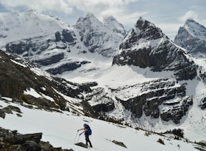
1.03.7 mi / 1310 ft gainViews in the Lake O'Hara area are unique from the “sea of mountains” look that defines many excellent weekend hikes in the Rockies. With Odoray, Yukness, Huber, Wiwaxy, Schaffer, Biddle, and Lefroy in such close proximity to each other, it is easy to imagine you are in Pakistan, Nepal, or Argenti...Read more -
Field, British Columbia
Scramble Little Odaray
6.2 mi / 3116.8 ft gainFirst things first: prior to August 15, there are only 4 groups of people allowed in this area per day, and after August 15, only 2 groups are allowed in. Start early!Starting at Lake O'Hara, head towards the Elizabeth Parker ACC Hut. Continue past the hut and meander through meadows and forests....Read more -
Kananaskis, Alberta
Hiking to Karst Spring in Kananaskis Country
4.5Every year, over 5 million visitors make their way through Banff National Park to soak in the surrounding peaks, bountiful wildlife, and turquoise-colored lakes. With this many visitors, it's hard to find yourself alone, especially during the peak seasons of summer and fall. Right next door to Ba...Read more -
Banff, Alberta
Dawn to Dusk in Banff National Park
5.06.8 miThis is a micro adventure in one of the world’s most desired National Parks. The common excuse for those who tend to skip the great outdoors is lack of time. This one day adventure is an example that you can cram a lot into a day! Dawn: Sunrise hike up to South Ridge in Banff. Start at the famous...Read more -
Kananaskis, Alberta
Bryant Creek Lodge via Watridge Lake Trail
16.65 mi / 1401 ft gainThis moderate-graded backcountry hike or ski in the winter can take 5-8 hours (one way). Most people hike or ski in from the Mt. Shark parking lot in Kananaskis Country, a 30 min. drive from Canmore, Alberta. From Mt. Shark Parking Lot (off the Smith-Dorrien Road), take the Watridge Lake Trail t...Read more -
Improvement District No. 9, Alberta
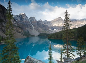
Moraine Lake
4.8Showing up at Moraine Lake before dawn is a must as to avoid the multitude of tours busses. The morning sun is subtle and magical. The lake, being glacially fed, does not reach its crest until mid to late June. When it is full, it reflects a distinct shade of blue. The color is due to the refract...Read more -
Banff, Alberta
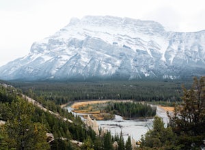
Hike to the Hoodoos, Banff
5.03 mi / 295.3 ft gainThe beginning of this hike is easily accessed from the town center of Banff by the Bow river. Perfect for those without a car! Follow the trail on the side closest to town as it leads up the Bow River and into the forest following the signs for Hoodoos Loop.The hike is 4.8km one way, leading arou...Read more -
Banff, Alberta
Hike Tunnel Mountain, Banff
4.02.7 mi / 984.3 ft gainThe lower trailhead is only a short walk from Downtown Banff. Head east on Wolf street and up St. Julien Road and you will see the trailhead shortly after passing Wolverine street.There is also a upper trailhead on Tunnel Mountain Drive across from the carpark and viewpoint. Although this is clos...Read more -
Banff, Alberta
Hike Cascade Mountain, Banff NP
7.5 mi / 4800 ft gainFrom Banff, follow the Norquay Road (the west access road to Banff) up to Mt. Norquay Ski Area. The trail begins from the day lodge at the far end of the first parking lot on the right.Walk by the front of the day lodge and follow a service roaddown through the ski area past the base of three cha...Read more

