Waterton, Alberta
Top Spots in and near Waterton
-
West Glacier, Montana
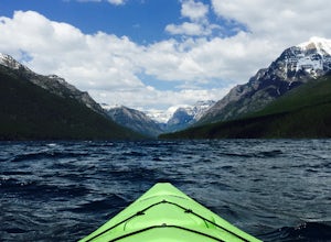
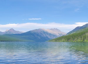
Kayak Bowman Lake, Glacier NP
5.0The lake is located in the northwestern portion of Glacier National Park, about 32.5 miles from the west entrance and 30 miles from the Canadian Border. From the little town of Polebridge, it is 6 miles north along an unpaved road. The lake is 7 miles long and approx .5 miles wide. Access to the ...Read more -
Browning, Montana
Swiftcurrent Lookout
16.68 mi / 4491 ft gainTake this beautiful hike up Swiftcurrent Mountain to the Fire Lookout (8436 ft). The hike is 7.1 miles one-way from from the Swiftcurrent Inn parking lot trailhead. The elevation gain is 2,307 feet. The First 3 miles or so are a flat hike where you'll pass by several famous lakes and gain only ...Read more -
Browning, Montana
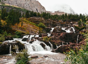
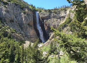
Redrock Falls
4.53.73 mi / 100 ft gainThe hike to Redrock Falls begins at the Swiftcurrent Pass Trailhead in the Many Glacier area of Glacier National Park. The trailhead is located at the western end of the Swiftcurrent Motor Inn parking lot. From the trailhead, head straight toward Swiftcurrent Pass and Redrock Falls. At approxi...Read more -
Browning, Montana
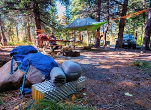
Camp at Many Glacier Campground in Glacier National Park
5.0Enjoy one of Glacier National Park's best campgrounds, Many Glacier Campground, which you can reach on the east side of the Continental Divide. Directions: Travel to the east side of the park, and take highway 89 to the town of Babb. From Babb, drive west, reenter the park, and arrive at the Many...Read more -
Browning, Montana
Grinnell Glacier in Glacier NP
5.011.33 mi / 1840 ft gainThe Grinnel Glacier Hike begins at the Grinnell Glacier Trailhead just past the Many Glacier Lodge. A fee of $25 is required to enter Glacier National Park for a seven-day pass. The Many Glacier region is entered from the east side of the park from the Blackfeet Indian Reservation. The Grinnel...Read more -
Browning, Montana
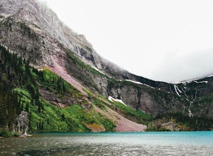
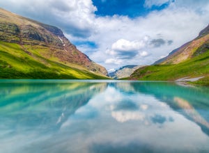
Hike to Grinnell Lake
5.07.16 mi / 60 ft gainThe hike to Grinnell Lake begins at the Grinnell Glacier Trailhead, approximately 0.5 miles past Many Glacier Hotel in the Many Glacier area of Glacier National Park. For folks staying in the hotel, there is an optional trailhead just south of the building. There is also is a boat shuttle for tho...Read more -
Browning, Montana
Walk the Swiftcurrent Nature Trail, Glacier National Park
5.02.66 mi / 135 ft gainWalking in either direction, the trail is easy to follow. If you take the loop counter-clockwise, you will reach the Grinnell Glacier parking area in just over a half mile (which is an alternate starting point for this trail). Follow the signs and continue left to rejoin the trail. About a mile l...Read more -
Glacier National Park, Montana
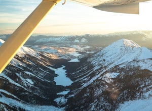
Fly Over Glacier National Park
Flying over Glacier National Park in a small airplane is an epic way to see the beautiful scenery of this National Park. If you haven't even been to the park before, it is a great way to see it for the first time, which was the case for me. Time: The best time to fly over these majestic mountain...Read more -
Browning, Montana
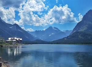
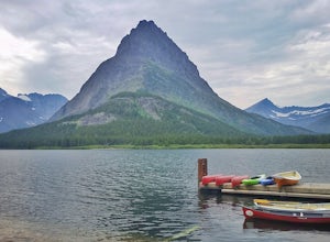
Kayak Swiftcurrent Lake
4.5Swiftcurrent Lake is easily accessed along the shores of Many Glacier Hotel where ample parking is available. The Glacier Park Boat Company offers single and double kayak rentals onsite (pricing and dates of operations are available here: glacierparkboats.com) or you can bring your own.The calm ...Read more -
Swiftcurrent, Montana
Hike to Apikuni Falls at Glacier National Park
5.01.92 mi / 670 ft gainFrom the parking lot follow the trail to the left to Apikuni Falls. The first 1/4 mile of the trail is an easy stroll through an open field before entering an aspen forest where the trail ascends more than 500 feet in less than 1/2 mile. The falls won't be visible until the final 1/8 mile of the...Read more -
Browning, Montana
Cracker Lake
5.012.71 mi / 2001 ft gainThe 6.1 mile (12.2 roundtrip), hike to Cracker Lake includes wooded forests, grand views of lakes and mountains, creek crossings, distant waterfalls, mining ruins, possible wildflowers and wildlife, and a swim in turquoise water. At 1400ft elevation gain, the trail never gets too taxing. The view...Read more -
Browning, Montana
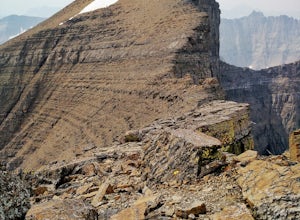
Hike the Skyline Experience
12.62 mi / 6500 ft gainThe route starts from Many Glacier at the Cracker Lake Trailhead, about 5000 feet. Hike the trail about 2 miles until you come to a fork, stay right here to keep your approach hike a little shorter. Hikers wind through switchbacks and beautiful meadows and forests on the way to a crossing of Crac...Read more -
Browning, Montana
Backpack to Poia Lake, Glacier NP
12.8 mi / 1700 ft gainLocated in Many Glacier, the Red Gap Pass trail begins at the Apikuni Falls Trailhead located east of the Many Glacier Lodge (if you're looking to check out the falls before your hike, check out Hike to Apikuni Falls at Glacier National Park). The trail starts at a gradual incline and continue th...Read more -
West Glacier, Montana
Bike Glacier's Going to the Sun Road
5.016 mi / 2460 ft gainBike up the road towards Logan Pass. Make sure to stay alert for traffic coming up and down the road. Helmets and flashing red, rear lights are required when biking at night in Glacier National Park. A forward facing light is also recommended to see gravel and other obstacles. Make sure to keep e...Read more -
Flathead County, Montana
Kintla Lake Campground
* The road to this trailhead/lake is closed during the winter. Kintla Lake is one of the lesser explored lakes in Glacier National Park. Located on the west side of the park, it is accessible via an unpaved road from the Polebridge Ranger Station. From the Ranger Station, take a LEFT and contin...Read more -
Flathead County, Montana
Boulder Pass Trail: Kintla Lake to Boulder Pass
35.06 mi / 5600 ft gainGlacier National Park is often touted as one of the best places in the whole USA when it comes to hiking and backpacking, natural scenery and wildlife encounters. With tons of trails to choose from (over 700 miles at last count), it can obviously be tough to decide where exactly you want to explo...Read more

