Daleville, Virginia
Top Spots in and near Daleville
-
Pembroke, Virginia
Bald Knob Trail
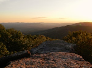
4.80.93 mi / 387 ft gainUnobstructed views with little hiking effort make Bald Knob one of the best locations to see the sunset in southwestern Virginia. Easy to access from US-460 in Giles County, take Mountain Lake Road (VA-700) for 7 miles and park in the gravel lot on the left by the intersection of VA-613 and Moun...Read more -
Millboro, Virginia
Hike Blue Suck Falls and the Tuscarora Overlook
3.47.2 mi / 2200 ft gainIn Douthat State Park, park at the Discovery Center/Amphitheater parking lot near the children's fishing area. The Blue Suck Falls trail head will be towards the dam on the left side and is well-marked.Note: A trail map is highly recommended for this trail! It is fairly well-marked with blue blaz...Read more -
Lexington, Virginia
House Mountain Trail
4.08.93 mi / 2733 ft gainHouse Mountain provides two amazing views via two out-and-back hikes, for a combined hike of 8.75 miles. If you’re short on energy and/or time, the 6 miles round trip to Big House Mountain is (in my opinion) the better of the two overlooks. Either way, keep in mind that this hike covers a great...Read more -
Ripplemead, Virginia
Hike Barney's Wall
4.68.4 mi / 1600 ft gainThis hike begins in the parking lot for Cascade Falls. Keep left at the first and second intersections to stay on the Upper Trail. At the third intersection, stay straight (don't turn right) to stay on the Conservancy Trail.Follow the Conservancy Trail for 0.4 miles, and continue on it when it br...Read more -
Ripplemead, Virginia
Cascade Falls
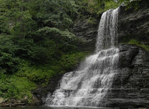
4.93.81 mi / 732 ft gainThe 66' Cascade Falls located in Giles Count is arguably one of the most beautiful waterfalls in Virginia. This classic hike is 4.0 miles and gains 800' in elevation. Located in Pembroke, Virginia, access the trail head by taking Cascade Drive (VA-623) off of US-460 and drive 3.3 miles to the p...Read more -
Newport, Virginia
Hike through the New River Cave
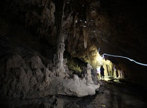
4.72 mi / 332 ft gainAfter reaching the parking area, cross the road and continue up the trail for about 0.3 miles. At the kiosk, make sure to register in order to indicate that you are going into the cave. After passing the kiosk and some rocky portions of the trail, you will approach the cave entrance. The cave goe...Read more -
Hot Springs, Virginia
Backpack around Lake Moomaw
5.06.6 mi / 1200 ft gainOn your way to the trailhead don't forget to pull off the road at the scenic outlook to take in the vast expanse of Lake Moomaw (you won't miss it!).Start off your adventure by parking at the end of Twin Ridge Drive (37.976545, -79.985582). From this point, hike down the little paved driveway int...Read more -
Amherst, Virginia
Swim at Panther Falls
5.00.7 mi / -100 ft gainFrom Lexington or Buena Vista, Virginia, take Rt. 60 east for several miles. As soon as you pass under the Blue Ridge Parkway, look for a gravel road on your right marked Panther Falls Road. This is a fairly bumpy gravel road, so take it easy. Follow Panther Falls Road down the mountain for just ...Read more -
Blacksburg, Virginia
Float New River
5.0Starting at the "falls" below the New River Junction you can enjoy a three day float trip down to Bluff City near Pearisburg. [Tangent Outfitters in Pembroke can rent you kayaks and shuttle you to the start point and pick you up at the end point if you don't have 2 vehicles to leave] Trip can be ...Read more -
Rustburg, Virginia
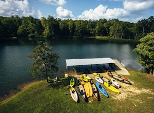
Explore the Hydaway Outdoor Recreation Center
4.3If you love everything outdoors, the Hydaway Outdoor Recreation Center is the place for you! You can do almost any activity you can think of here. If you aren't affiliated with Liberty University, you can't rent their equipment, but you can bring you own to use. The main attraction is the lake wh...Read more -
James River Heritage Trail, Virginia
Run on the Seven Rails Trail
3 mi / 117 ft gainEasily accessible from the Percival's Island Natural Area parking lot, the James River Heritage Trail and adjoining Seven Rails Trail are an easy escape from downtown Lynchburg. From the parking lot, follow the trail signs toward Percival's Island, which will almost immediately take you across a...Read more -
Rockbridge Baths, Virginia
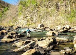
Fly Fish Goshen Pass
5.0The fly fishing on the Maury River is one of a kind through the Goshen Pass. The Pass is littered with huge boulders, which actually makes it possible to fish without waders, although it's much easier and more enjoyable with waders.From Lexington, VA, take Route 39 towards Goshen for approximatel...Read more -
Rockbridge Baths, Virginia
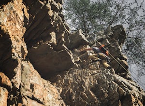
Rock Climb at Goshen Pass
5.0Goshen Pass is a beautiful area for kayaking and fishing in Bath County, Virginia near Lexington. But not as well known is the fact that there are a few places that are great for rock climbing. You'll want to park at the swinging bridge which is two miles past the picnic area on route 39 once you...Read more -
Goshen, Virginia
Hike Goshen Pass
4.35.6 mi / 1200 ft gainThe parking for the trailhead is down an unmarked gravel/dirt road about 1.5 miles upriver from the Virginia Wayside rest area on Route 39 West. You'll see the swing bridge out across the river and the road will be immediately after this on your right. The road goes back about 200 yards to the pa...Read more -
Vesuvius, Virginia
Photograph Statons Creek Falls
4.0To view this waterfall, hiking is not necessarily involved since the top of it is next to a small parking area along CR-633. If you feel like scrambling and bushwhacking, it’s possible to make your way down either side to small pools and cascades with a total drop of about 100 feet. The terrain i...Read more -
Narrows, Virginia
Rice Fields via Appalachian Trail
5.05.24 mi / 1302 ft gainThis hike begins on the Appalachian Trail just north of Pearisburg, Virginia. To get to the trail head, take Route 460 and turn on to Clendennin Road(Route 641). Take Clendennin road 1.5 miles and then turn left on to Pocahontas road. In about 300ft you will pass a cattle grate and an old barbed ...Read more

