Woodford, Vermont
Top Spots in and near Woodford
-
Deerfield, Massachusetts
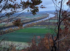
South Sugarloaf Trail
1.48 mi / 404 ft gainSouth Sugarloaf Trail is a loop trail that takes you by a river located near South Deerfield, Massachusetts.Read more -
Poultney, Vermont
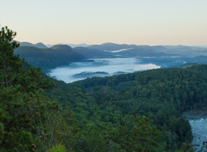
Camp on Mount St. Catherine
5.0Looking for the best view in all of Poultney, Vermont? Look no further than Lake St. Catherine Mountain. Located within Deane's Nature Preserve, this fast and easy hike tops as one of the best views and camping spots for the little time and energy needed to reach the summit. Only 30-45 minutes fr...Read more -
Erving, Massachusetts
Rattlesnake Loop to Red Trail
1.97 mi / 676 ft gainRattlesnake Loop to Red Trail is a loop trail that provides a good opportunity to view wildlife located near Erving, Massachusetts.Read more -
Stockbridge, Massachusetts
Laura's Tower and Ice Glen
5.02.4 mi / 676 ft gainYou will park at the end of Park Street in Stockbridge, Massachusetts. From the parking are you will cross a beautiful bridge over the Housatonic River. The trail crosses railroad tracks and immediately begins to climb into the woods. You will reach a split in the trail, a left will take you...Read more -
Great Barrington, Massachusetts
Hike Monument Mountain
4.02 mi / 720 ft gainAt 1642 feet (with a total elevation gain of 720 feet), Squaw Peak is a great spot to see both Mt Greylock along the Vermont border, and the Catskills in New York. There are several trail options here to get to the summit, but no matter which combination you choose, you can keep your trip under ...Read more -
Schenectady, New York
Hike Plotter Kill Preserve
4.35.5 mi / 820 ft gainThere are a few entries into the preserve' however, this hike has you entering off of Mariaville Road. There is a kiosk here and you will enter on the Red trail. Shortly after you can go out and back on the Blue trail to view the Upper and Lower Falls from lookouts above. Once back to the Red t...Read more -
Voorheesville, New York
Hike the Indian Ladder Trail
4.53.5 mi / 200 ft gainThere are many parking areas within the park. Park at the overlook parking. From here you head west following the wood fence. This is the Cliff Top trail. Approximately after walking 0.5 miles you will reach the stairs that will lead you to the base of the cliffs. This marks the start of the...Read more -
Great Barrington, Massachusetts
Mt. Wilcox and Beartown Mountain Trail Loop
5.09.29 mi / 981 ft gainMt. Wilcox and Beartown Mountain Trail Loop is a loop trail that takes you by the lake located near Great Barrington, Massachusetts.Read more -
Voorheesville, New York
Hike the Keleher Preserve Loop
2.03 mi / 1636 ft gainThe historic preserve is operated by the Mohawk Hudson Land Conservancy, so trails are clearly marked and extremely well maintained. There are features of the original farm that the land was used for from the 18th Century, including hand-thrown stone walls and an old logging road that cuts throug...Read more -
Altamont, New York
Hike through the Wolf Creek Falls Preserve
3.03 mi / 200 ft gainOver 3 miles of trails provide access to all parts of the preserve, and end up winding through mixed terrain including a wetland, waterfalls, and old stone walls. The property crosses the Bozenkill Road at two points on either side of private parcels (with beautiful homes), so be vigilant there; ...Read more

