Kanab, Utah
Top Spots in and near Kanab
-
Kanab, Utah
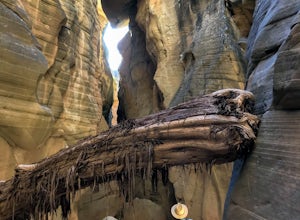
Bull Valley Gorge Trail
0.89 mi / 49 ft gainBull Valley Gorge Trail is an out-and-back trail that takes you by a river located near Cannonville, Utah.Read more -
Virgin, Utah
Hop Valley Trail, Zion NP
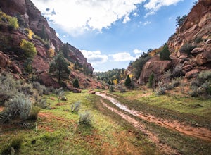
3.014.58 mi / 1000 ft gainThis 6.5 mile (one-way) trek is a multi-functional trail. The trail can serve as standalone trail allowing hikers to get in either a solid in-and-out day hike or as a leg to a much bigger and epic Trans-Zion Trek. For those interested in the later, the Hop Valley Trail is the leg of the journey t...Read more -
Virgin, Utah
Connector Trail, Zion NP
5.04.9 miThis 4.9-mile (one-way) trek is a multi-functional trail. The trail can serve as standalone trail allowing hikers to get in either a solid in-and-out day hike or as a leg to a much bigger and epic Trans-Zion Trek. For those interested in the later, the Connector Trail is the leg of the journey th...Read more -
Kanab, Utah
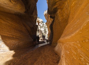
Hike WIllis Creek Slot Canyon
4.7Willis Creek Slot Canyon begins at the Willis Creek Trailhead, located in Grand Staircase Escalante National Monument. The trail is very easy to find and follow. It begins winding through junipers for several hundred feet before dropping gradually into a wash, at which point it meets up with Will...Read more -
Hurricane, Utah
Camp at Little Creek Mesa
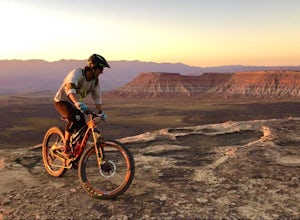
5.0Experience solitude and beauty at Little Creek Mesa Utah. When you get there, grab a campsite, and go for an evening mountain bike ride along the rim of the mesa and see breathtaking views of the valley below as the sun sets. Little Creek Mesa is located 22 miles from Hurricane, Utah and only 8 ...Read more -
Brian Head, Utah
Hike the Sunset Trail
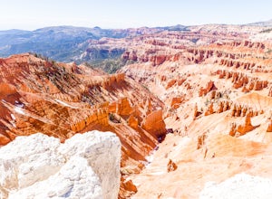
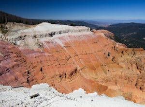
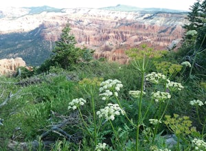
4.01 mi / 200 ft gainCedar Breaks National Monument is a gorgeous multi-colored limestone amphitheater that many consider to be more beautiful than Bryce Canyon National Park given its greater depth over a shorter distance and higher elevation. It is far less traveled than its neighbors of Zion and Bryce. The Sunset ...Read more -
Brian Head, Utah
Hike Ramparts Trail via Spectra Point
5.04 miTo call this place "breathtaking" would not do it justice. The rusty red, orange, purple colors of million-year-old rock erosion are otherworldly, something you'd imagine on Mars. The Indians named Cedar Breaks the "Circle of Painted Cliffs," and when you see this brilliantly colored coliseum you...Read more -
Brian Head, Utah
Hike the Sunset Trail, Cedar Breaks National Monument
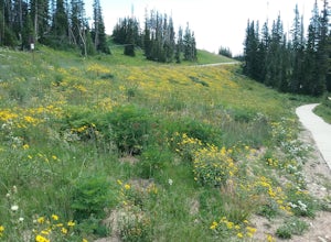
2 mi / 100 ft gainStarted the hike at the visitor center. The walk is fairly level and there is not much altitude gain. There are very good views of the park and in the summer there is a profusion of wildflowers. At the beginning of the trail the different wildflowers are labeled.Read more -
Brian Head, Utah
Hike the Spectra Point and Rampart Overlook Trails
3.7 mi / 836 ft gainPark at the visitor center parking lot and start hiking the trail. You'll admire the great views of the breaks and canyons below. If you hike in the summer, be sure to take the time to photograph the many beautiful wildflowers, old cedars, and marmots.Read more -
North Rim, Arizona
Thunder River Loop
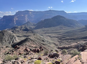
24 mi / 7234 ft gainConsidered one of the canyon’s most challenging and awe-inspiring paths, the loop is a must for people looking for hard-earned big rewards. Jaw-dropping vistas, tumbling waterfalls, towering rock walls, ancient fossils and the mighty Colorado create an incomparable backcountry experience.You star...Read more -
Henrieville, Utah
Cottonwood Canyon Road
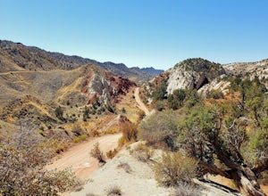
38.66 mi / 2192 ft gainCottonwood Canyon Road is a point-to-point trail that takes you by a river located near Cannonville, Utah.Read more -
Bryce, Utah
Hat Shop via Under the Rim Trail
5.03.99 mi / 1093 ft gainHat Shop via Under the Rim Trail is an out-and-back trail where you may see local wildlife located near Bryce, Utah.Read more -
Cedar City, Utah
Hike the Hoodoo Loop Trail in Dixie National Forest
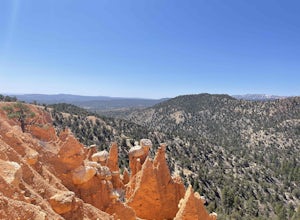
5.00.3 miHoodoo's are unique rock formations formed over many years by erosion. In this region, the hoodoos are formed through a process called frost wedging. This is the process of repeated freeze thaw cycles. As snow melts the water seeps between the cracks in the rocks then freezes at night when the...Read more -
Bryce, Utah
Bryce Point Trail
0.25 mi / 161 ft gainBryce Point Trail is an out-and-back trail where you may see local wildlife located near Bryce, Utah.Read more -
Bryce, Utah
Hiking Bryce Canyon's Rim Trail
4.411.01 mi / 1342 ft gainThis popular hike in Bryce Canyon National Park offers up breathtaking views from just about every step. While it can be as long as 11 miles out and back from Fairyland Point to Bryce Point, multiple pull outs allow driving between the different points providing as long or short as a hike as you ...Read more -
Tropic, Utah
Under the Rim Trail to Swamp Canyon Camp
5.023.79 mi / 5794 ft gainThis trail is just about the only way I would see Bryce Canyon. When we initially drove in it was like we were at Disneyland, with crowds of people everywhere. We soon discovered, however, that very few people enter Bryce Canyon's backcountry. We chose to visit Bryce in July due to it's higher el...Read more

