Holladay, Utah
Top Spots in and near Holladay
-
Saratoga Springs, Utah
Photograph the Sunrise at Utah Lake
4.0Turn off Highway 68 onto a dirt road towards Utah Lake. You'll see a large sign on your left and a small hill with ATV trails in the distance on your right. Follow the dirt road straight down past the hill. After veering right you can park down fairly close to the water's edge. The dirt road is f...Read more -
Syracuse, Utah
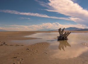
Photograph the Famous Stump by the Antelope Island Causeway
4.8If you've ever visited Antelope Island State Park, there is no doubt you've seen the stump. This dead, bleached focal point with it's gnarled branches stands out in the middle of the vast landscape of the Great Salt Lake. It is located on the South side of the causeway, approximately two miles fr...Read more -
Syracuse, Utah
Buffalo Point Trail
5.00.95 mi / 253 ft gainBuffalo Point Trail is a heavily trafficked out-and-back trail that takes you by a lake located near Syracuse, Utah.Read more -
Davis County, Utah
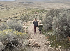
Hike the Buffalo Point Trail on Antelope Island
4.01 mi / 300 ft gainAntelope Island State Park is a gem within the Utah State Park system. With over 28,000 acres, it is the biggest island located in the Great Salt Lake...the largest salt water lake in the Western hemisphere. It is incredibly scenic, with beautiful shoreline and beaches, grassy plains, mountaino...Read more -
Kamas, Utah
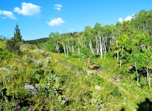
Hike Riley's Canyon
5 mi / 200 ft gainAproximately two miles Southeast of Woodland, UT on Highway 35 you will come to a small turnout on the North side of the road. It is sufficient in size for a handful of vehicles to park, so that passengers can make their way into Riley's Canyon. From the turn off, look to the North and you will s...Read more -
Davis County, Utah
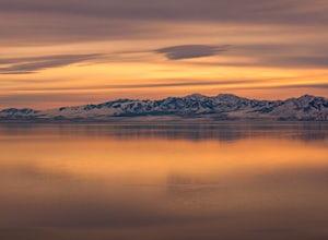
Catch a Sunset on Antelope Island
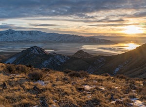
5.0This is a great place to catch a sunset with the herds of Buffalo grazing and the surrounding mountain ranges. With the clouds moving over the mountains and the water reflecting the sunset, you can get amazing shots if that's what you're interested in.The smart move when heading there is to drive...Read more -
Ogden, Utah
Waterfall Canyon Trail via Ogden Park
3.03.3 mi / 1699 ft gainWaterfall Canyon Trail via Ogden Park is an out-and-back trail that takes you by a waterfall located near Ogden, Utah.Read more -
Huntsville, Utah
Green Pond Loop
4.52.44 mi / 436 ft gainAbout a mile before Snowbasin, is a parking lot with a map and trail marker. The first incline is steep and follows a single track trail that leads to the ponds. This trail is great year-round, but in the winter, you may have some stray backcountry snowboarders in the area. It's pretty quiet over...Read more -
Tooele County, Utah
Stansbury Island Trail
2.88.87 mi / 2585 ft gainRarely will you ever see another person at the underrated Stansbury Island, the second largest island within the Great Salt Lake in Utah - even though a dirt causeway connects it to land, it is still considered an island. The lack of crowds make this a good place to hike, take photos, and enjoy t...Read more -
Ogden, Utah
Waterfall Canyon
4.02.44 mi / 1394 ft gainWaterfall Canyon is one of the most popular hikes in the Ogden area. The trailhead is easy to find, just head east on 29th street until you hit the base of the mountains and the parking lot is on the right. There are plenty of parking spots and restrooms but sometimes the restrooms are locked. T...Read more -
Ogden, Utah
Malans Peak
5.04.3 mi / 2129 ft gainYou can reach this trail either via 27th Street or 29th Street in Ogden, Utah. Get on one of those roads and then head east until you reach the mountain. On 27th St. there is some parking on the road with a sign reminding people to keep their dogs on leash. On 29th St. there is a large parking lo...Read more -
Springville, Utah
Maple Mountain (aka Spanish Fork Peak)
10.56 mi / 4524 ft gainThe trail starts out very easy, but keep an eye out for the fork in the trail at the creek. It's easy to miss. It's right at the metal bench that will be on the left. Cross the creek and continue another quarter mile or so when you'll notice another branch to your left. Keep going straight here a...Read more -
Ogden, Utah
Hike the Wheeler Creek and Icebox Canyon Loop
4 mi / 400 ft gainTo get to the trailhead from Ogden drive up Ogden Canyon toward Pine View Reservoir. Right when the canyon begins to open up and you can see the actual dam there is a turn off on the south side of the road that leads down a dirt road to a very small parking area and the trailhead. If the parking ...Read more -
Kamas, Utah
Backcountry Ski Mt. Watson in the Uinta Mountains
Mt. Watson is a beauty. It is one of the tallest peaks directly outside of the High Uintas Wilderness area and has a stunning East face that is very steep and littered with cliff bands. Many people hike around Mt. Watson in the summer, when the Mirror Lake Highway is open and the trailhead is eas...Read more -
Kamas, Utah
Hike to Round, Sand, and Fish Lake in the Uinta Mountains
9 mi / 2000 ft gainThe Dry Fork Trailhead at the end of Weber Canyon Rd is the starting point for the hike to Round, Sand, and Fish Lakes in the Uinta Mountains of Utah. In the early spring and summer, this trail can be wet due to snowmelt runoff, but by mid-summer, it dries out and is a fantastic hike. The trail i...Read more -
Huntsville, Utah
Hike the Skull Creek Trail of Causey Reservoir
4.8 mi / 400 ft gainTo get to the trailhead from Ogden, Utah, take 12th street east up canyon and around Pine View Reservoir. When you get to Huntsville, turn right and continue to head east up the canyon. IN 8 miles you will come to a sign for Causey Road. Turn right here and follow the road to the dam. Turn right ...Read more

