Genola, Utah
Top Spots in and near Genola
-
Brighton, Utah
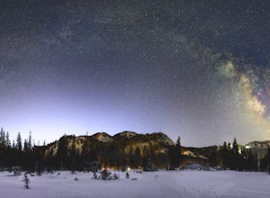
Photograph Star Trails at Silver Lake
1 miSilver Lake is one of the easiest, most accessible hikes in the Wasatch, located at the top of Big Cottonwood Canyon, Utah, close to the ski resorts of Brighton and Solitude.The lake is accessible all year; with a boardwalk or a well-signed path circling the lake through spring to fall. In the wi...Read more -
Holladay, Utah
Hike Heughs Canyon (Olympus Waterfall)
4.52 mi / 1000 ft gainHeughs Canyon starts right on the edge of Salt Lake City, but within minutes, you’re in a shady forest next to a gurgling stream. This is the prefect after-work hike that can be enjoyed year-round. Two miles round-trip and just over 1,000 feet, the path takes you to a beautiful waterfall that flo...Read more -
Salt Lake County, Utah
Lake Blanche Trail
4.56.76 mi / 2766 ft gainThe hike is only 6 miles roundtrip, but it's pretty steep the whole way. It will take about 1.5 - 2 hrs to get up and about 45 min - 1hr to get back down. This can be longer depending on weather conditions and if you choose to loop the lake. At the Mills B Trailhead, you will head to the far end ...Read more -
Salt Lake County, Utah
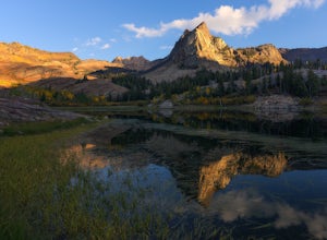
Lake Blanche & Sundial Peak
5.09.52 mi / 4098 ft gainThis is a popular hike all year round, but less popular in the winter. If you’re backpacking you’ll most likely be alone. In winter, the lake is covered in snow, but Sundial Peak is one of the most picturesque mountains in the Wasatch. Especially when it is dusted with snow. You’ll also be far en...Read more -
Salt Lake County, Utah
Broads Fork Twin Peaks
5.08.57 mi / 4984 ft gainThe Broads Fork trailhead starts in Big Cottonwood Canyon in the same parking lot as the Lake Blanche trailhead. This trailhead is on the west side of the parking lot. The trail is marked and easy to follow for a good chunk of the way. You will come to a big basin and alpine meadow where you wil...Read more -
Salt Lake City, Utah
Broads Fork Basin and Beaver Pond
4.05.1 mi / 2083 ft gainThe Broads Fork trailhead starts in Big Cottonwood Canyon in the same parking lot as the Lake Blanche trailhead, this trailhead is on the west side of the parking lot. The trail is very easy to follow and is well marked. Follow the trail until you come to a great big basin. Here you will be able...Read more -
Heber City, Utah
Fly Fish the Middle Provo River
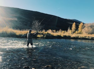
The Middle Provo River runs from Jordanelle Reservoir to Deer Creek Reservoir through the Heber Valley. To get there from Salt Lake City, head southeast on I-80. Take exit 146 and merge onto US-189/US-40 toward Heber. Travel 17.1 miles; turning right onto W 100 South/River Road. 0.3 miles down Ri...Read more -
Salt Lake City, Utah
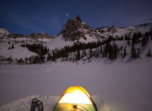
Snowshoe Lake Blanche
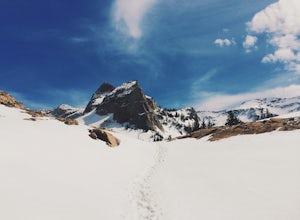
5.05.6 miLake Blanche is an extremely popular hike along the Wasatch Range in Utah. During the summer and fall months the lake, wildlife, flowers, and Sundial Peak as a backdrop offer spectacular views.Lake Blanche is one of the most beautiful and scenic lakes in Utah and turns into a winter wonderland on...Read more -
Salt Lake County, Utah
Hidden Falls
4.20.16 mi / 138 ft gainHidden Falls is a beautiful little waterfall with minimal crowds. When I say minimal, I mean I've only seen another person there 1 of the 5 or 6 times that I have been. Take it in. Stay a while. Scramble around the small canyon for different perspectives of the falls or the creek. If you don't ha...Read more -
Salt Lake City, Utah
Photograph Guardsman Pass & The Alpine Loop
5.0Since this is a loop you can start at either end, but this is the way we did it. Start driving up Big Cottonwood Canyon. Enjoy the views and take in the impressive peaks on either side of the road. See the changes in vegetation as you gain elevation in the canyon. As you near the top and pass Sol...Read more -
Salt Lake City, Utah
Snowboard or Ski Guardsman Pass
4.0If you want to escape the crowds and get in some nice powder, then a hike up Guardsman Pass is well worth the effort. To reach the trail, park on the side streets just below the gates to avoid the no parking signs and keep your tires just on the road to avoid getting stuck.When you pack up your g...Read more -
Salt Lake City, Utah
Backpack to Bloods and Lackawaxen Lakes
4.84 mi / 1040 ft gainThis trail is just outside of Big Cottonwood Canyon which forbids both dogs and swimming due to the Salt Lake watershed. As a result, dogs and swimming are more than welcome. Blood Lake and Lackawaxen Lake Trailhead can be reached by driving up Big Cottonwood approximately 15 miles until the tur...Read more -
Salt Lake City, Utah
Hike Clayton Peak in Utah's Wasatch Mountains
4.03 mi / 1600 ft gainClayton Peak is approximately 1.5 miles from Guardsman Pass (3 miles round trip), and you'll gain about 1,600 feet of climbing. There is parking on top of the pass, but it fills up quickly with hikers and mountain bikers during peak season as this serves as the trailhead for Bloods Lake, Jupiter...Read more -
Salt Lake City, Utah
Mountain Bike the Wasatch Crest Trail
5.0There are two popular starting points from Guardsman Road. The lower trail climbs and the higher one trail descends, then they converge at Scott's Pass below Puke Hill. The shuttled ride ends with a pavement rush down Mill Creek Canyon (and a possible detour onto Mill Creek Pipeline on the way do...Read more -
Salt Lake City, Utah
Hike the Mineral Fork Trail
4.09.3 mi / 3500 ft gainThe trailhead begins along Big Cottonwood Canyon Road, with a relatively small parking lot at the trailhead. Starting early in the day is advised, as on nice summer days it will fill up quickly. The trail has a steady ascent for the first 2 miles starting around 6700' through aspen forests and cr...Read more -
Salt Lake City, Utah
Backcountry Ski Mineral Fork
4.2 miMineral Fork is on the right side of the road about 5.8 miles up Big Cottonwood Canyon next to a cell tower and a giant brown Forest Service gate. There is room on the side of the road to park your car and throw your gear on. Once on the trail, you'll do a few switchbacks up the side of the mount...Read more

