Lookout Mountain, Tennessee
Top Spots in and near Lookout Mountain
-
Benton, Tennessee
Catch the sunset, bring friends and a picnic, or gaze at the stars from this classic Tennessee overlook!
To reach Chilhowee Overlook, follow U.S. Highway from Ocoee, Tennessee for 8 miles then turn left onto Oswald Road. Follow Oswald Road for 3.75 miles until you encounter the overlook on your r...
Read more
-
Copperhill, Tennessee
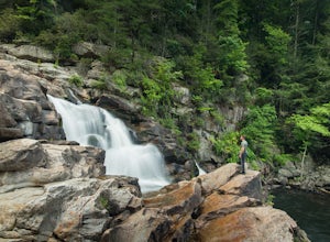
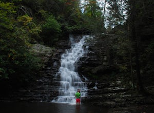
Jacks River Falls is one of Georgia's most impressive waterfalls. Containing several cascades that combine to an 80 foot waterfall, this destination provides spectacular views and refreshing pools to take a dip in. You can approach the falls from either Jacks River Falls trail or the Beech Bott...
Read more
-
Benton, Tennessee
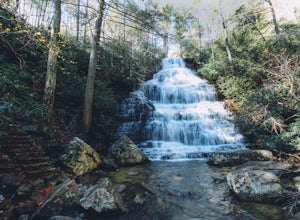
Start this hike from the parking lot of the Chilhowee Day Use Area (here you must remember to bring $3 cash to pay the day use fee). To begin, walk along the path to the left of the facilities until you come to the trailhead.
Start here continuing along the left-side of the lake. After passing t...
Read more
-
Fort Payne, Alabama
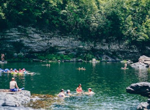
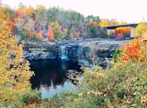
Little Falls, also referred to as Martha Falls and the “Hippie Hole” by the locals, is a popular swimming hole a part of Little River Canyon National Preserve, located along the state line of Alabama and Georgia. Perks include free parking and free admission. Drive up Lookout Mountain and pull i...
Read more
-
Fort Payne, Alabama
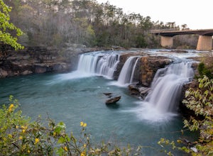
Little River Falls is a popular site within the Little River Canyon National Preserve, a 12 mile long, 600 ft deep canyon.The 45-foot falls can be accessible from two different vantage points – either via a paved but steep path from the parking lot down to an overlook, or by driving to a higher l...
Read more
-
-
Reliance, Tennessee
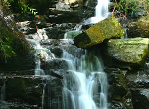
Very little elevation gain leads to an easy hike along a river right outside of the Ocoee river region. First .7 miles is very flat, then leads to some slight elevation gain but nothing too serious. This trail traverses through the lush forest for a short distance when you come across a small cre...
Read more
-
Reliance, Tennessee
4.8
3.37 mi
/ 531 ft gain
Starting at the parking lot, head up the trail (Clemmer #302/Scenic Spur #78) and it should say "1.7 miles to waterfalls". At the top of the hill in approximately 0.1 miles, veer to the right on trail #78. Continue for another 0.6 miles trail - #86 cuts across but continue straight on #78. From t...
Read more
-
Scottsboro, Alabama
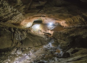
As Tumbling Rock Cave is a private property owned and controlled by SCCI, a permit is required to access the cave. Permits can only be applied for online here, and once granted, SCCI will provide the exact location of the cave. Caving is not only an inherently dangerous activity due to difficul...
Read more
-
Ellijay, Georgia
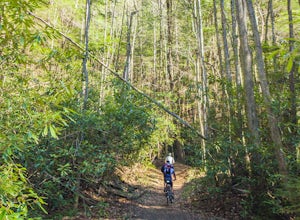
Bear Creek is a southern favorite amongst the mountain biking community. There are many variations and add-ons to make this ride more challenging, but the classic up and back from the parking lot at the base of Bear Creek is one of the most rewarding and adrenaline pumping runs you will find in ...
Read more
-
Pikeville, Tennessee
4.7
2.76 mi
/ 781 ft gain
Fall Creek Falls State Park is sprawled across the eastern top of the rugged Cumberland Plateau. The 20,000-acre park is one of the most scenic parks in the country and is the largest recreation area in the state of Tennessee. It is home to a 256-foot waterfall, cascades, gorges, 5 other waterfal...
Read more
-
Pikeville, Tennessee
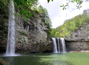
Fall Creek Falls State Park is home to multiple waterfalls. The main attraction and biggest waterfall, Fall Creek Falls, is often tourists' main destination, but I encourage you to visit the base of Rockhouse Falls and Cane Creek Falls to enjoy some quiet solitude and get away from the usual week...
Read more
-
Scenic Loop Road, Tennessee
5.0
0.86 mi
/ 299 ft gain
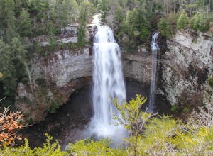
Fall Creek Falls State Park hosts a variety of large waterfalls which can easily become confusing. The park's main attraction is the 256 foot waterfall dubbed "Fall Creek Falls." Fall Creek Falls is observable from a viewing platform less than a five minute walk from the Scenic Loop Road parking ...
Read more
-
Pikeville, Tennessee
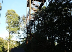
The tower is located in the far northeast corner of Fall Creek Falls state park. The road to get there can be rough especially if it has rained recently but any 2 wheel drive vehicle should be able to make it. When you get to the trailhead it is a small gravel pull off with a gate. From the gate ...
Read more
-
Pikeville, Tennessee
Located in the beautiful state park of Fall Creek Falls, you'll find this overlook along with Millikan's Overlook. Both overlooks showcase the views shown in my photos, however, Buzzard's Roost is a short walk down the side trail that gives a more solitude experience that you may be looking for.
...
Read more
-
Ellijay, Georgia
Just North of Carters Lake lies one of its tributaries, Tails Creek. The Tumbling Waters Trail follows along a scenic stretch of this creek as it cascades its way towards the lake. This trail is moderately trafficked and considered a local favorite.
The Tumbling Waters trailhead also contains a...
Read more


