Crossville, Tennessee
Top Spots in and near Crossville
-
Smithville, Tennessee
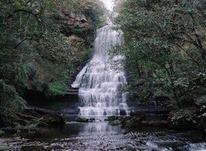
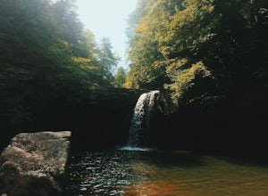
Hike to Carmac Falls
5.01 mi / 90 ft gainIt is important to note that Carmac Falls is located on the private property of Evins Mill, a resort and special event venue that hosts weddings, conferences and other contractually exclusive events. As such, one must be a guest of the resort in order to access its property and enjoy its trails, ...Read more -
Jamestown, Tennessee
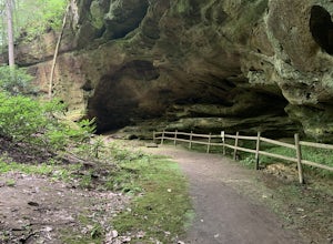
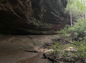
Hike to Indian Rockhouse
0.4 mi / 65 ft gainThis hike is a great, short hike for all ages. It shows the sandstone formation of the area very well and features a large cliff, an overhang, and a small stream at the bottom. The hike is only 0.4 of a mile total and has a small elevation change. It is probably the easiest hike in this area. Th...Read more -
Jamestown, Tennessee
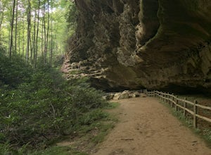
Hazard Cave Loop
5.01.51 mi / 210 ft gainHazard Cave is a gorgeous very large sandstone formation. The hike is located in Pickett State Park which is right next to Big South Fork National Recreation Area. This hike is the shortest option to get to Hazard Cave. If you are looking for a longer hike you can take the entire loop hike to get...Read more -
Jamestown, Tennessee
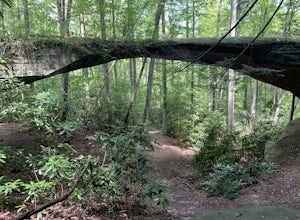
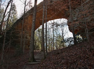
Natural Bridge Loop
1.05 mi / 148 ft gainThis trail is located in Pickett State Park which is a close neighbor to Big South Fork National Recreation Area. This is one of the many trailheads that connect to the Natural Bridge loop however, this trailhead is the closest to the natural bridge. From the road it is only a few hundred feet wa...Read more -
Jamestown, Tennessee
Hazard Cave and Natural Bridge Trail
2.33 mi / 240 ft gainHazard Cave and Natural Bridge Trail is a loop trail combining two of the major attractions of Pickett CCC Memorial State Park located near Jamestown, Tennessee. This hike is about two and a third miles, with 240 feet of elevation gain. It will take a little over an hour to complete the loop if y...Read more -
Jamestown, Tennessee
Twin Arches Loop
1.22 mi / 177 ft gainThe trail starts at the parking lot which has some nice bathrooms and a nice small picnic area that is open year-round. From the trailhead, you will follow the signs that will lead you to a short mostly flat, 7-mile hike to the first arch. Once you get to the first arch there is a small area with...Read more -
Palmer, Tennessee
Hike the North Plateau-North Rim Loop at Savage Gulf
4.014.7 mi / 2483 ft gainFrom the Savage Ranger Station, take the Savage Day Loop for roughly 2.2 miles until you reach the junction. From there take the North Plateau trail and return on the North Rim trail. The elevation gain on this trail is rather gradual and and subtle, but it is a long trek that requires endurance ...Read more -
Palmer, Tennessee
Savage Falls Trail
5.02.98 mi / 495 ft gainSavage Gulf Natural Area has more than 50 miles of trails, so be sure to start this adventure from the Savage Gulf Ranger Station entrance. To the right of the building, you'll find the trailhead for the Savage Day Loop. There, you can begin the 1.8-mile journey to the park's more-secluded waterf...Read more -
Jamestown, Tennessee
Rock Creek Loop
6.76 mi / 1043 ft gainRock Creek Loop is a loop trail that takes you by a river located near Oneida, Tennessee.Read more -
Gruetli-Laager, Tennessee
Hike to Suter and Horsepound Falls
4.06 mi / 1794 ft gainLocated in South Cumberland State Park in the Savage Gulf section, this is a somewhat difficult 5 mile out-and-back viewing two waterfalls, cascades, creeks, rock shelters, and high bluffs. 2 miles past Suter Falls you'll come to Horsepound Falls, a unique waterfall formation with overlooks and l...Read more -
Beersheba Springs, Tennessee
Hike to Stone Door and Alum Gap Campground
6.8 mi / 825 ft gainThis is a fun and easy overnight trip that is good for all ages. Start at the Stone Door Ranger Station which has plenty of parking and public restrooms as well. Follow the signs to the Stone Door Trailhead and in a short 0.8 miles you'll arrive at the edge of the gulf (canyon) and the first sign...Read more -
Soddy-Daisy, Tennessee
Bouldering Stone Fort, TN
4.50.25 miStone Fort sits atop the Cumberland Plateau just half an hour from downtown Chattanooga, and is one of the premiere bouldering locations in the Southeast. One of the three sites of the annual Triple Crown Bouldering competition, Stone Fort offers a wealth of climbing problems for any climber's a...Read more -
Soddy-Daisy, Tennessee
Hike the Hogskin Upper and Lower Loop
5.01.4 miAfter an easy 25 minute drive from Chattanooga you will reach North Chickamauga Gorge on Montlake Road in Soddy Daisy. Park any where in the gravel loop just make sure other cars can get through. From the Montlake Road Trailhead Kiosk the trail begins on an old mining road. Hogskin Upper Loop Tr...Read more

