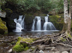
Anderson County, Tennessee
Top Spots in and near Anderson County
-
Jamestown, Tennessee
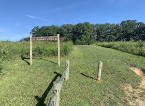
This Dark Sky Park is a part of the Pickett State Park. It was established in 2015. It is one of the only IDA registered dark sky parks in the east. I have been all over the United States stargazing and this is still one of the best spots I have been to. The astronomy field offers a free and easi...
Read more
-
Corbin, Kentucky
4.0
2.32 mi
/ 417 ft gain
Getting There
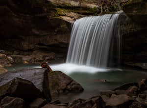
When headed towards Cumberland Falls State Resort Park on Kentucky-90, watch for a gravel forest service road on the right (FS-195).
The Dog Slaughter Falls Trail has two trailheads along this road. The first one is about 0.8 miles down the gravel road, but I'm going to suggest t...
Read more
-
Jamestown, Tennessee
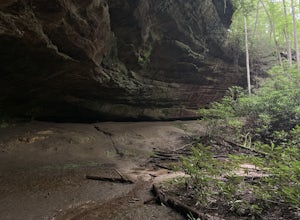
Hazard Cave and Natural Bridge Trail is a loop trail combining two of the major attractions of Pickett CCC Memorial State Park located near Jamestown, Tennessee. This hike is about two and a third miles, with 240 feet of elevation gain. It will take a little over an hour to complete the loop if y...
Read more
-
Tallassee, Tennessee
4.8
4.96 mi
/ 625 ft gain
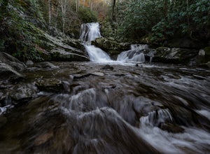
One of the biggest perks of hiking Abrams Falls is the drive to get there. The trailhead is located approximately 5 miles into the scenic Cades Cove Loop. Cades Cove is an adventure in itself. Keep your eye out for black bears, deer and wild turkey. If you are taking the self guided auto tour, Ab...
Read more
-
Townsend, Tennessee
4.8
1.64 mi
/ 495 ft gain
To get to Spruce Flats Falls, you will want to drive down 2.2 miles down the scenic Tremont Road to the Great Smoky Mountains Institute and park in the visitor center parking area. You will then want to ascend up the gravel road past the sign that says restricted to unrestricted traffic (meaning ...
Read more
-
Townsend, Tennessee
Cade's Cove is a valley located smack in the middle of the Great Smoky Mountains National Park. Feel free to drive the 11 mile loop in the day, but if you're really cool, you'll schedule your trip around a full moon so you can bike under the light of night! Allow yourself a few hours to explore a...
Read more
-
35.604955,-83.770373
5.0
12.8 mi
/ 3500 ft gain
Rocky Top is known to be the spot that inspired the famous fight song of the University of Tennessee, which is also an official song for the state of Tennessee.
The trailhead for this hike begins in the Cade’s Cove picnic area parking lot towards the back side. There are a few parking spots ri...
Read more
-
Townsend, Tennessee
Start your hike at Anthony Creek Trailhead (elevation 1,800 ft), in the Cade’s Cove area. The trailhead is located at the far end of the day-use picnic area near Cade’s Cove campground. There are a few parking spots right at the trailhead, but note that the picnic area closes at dusk (a gate clos...
Read more
-
Rockwood, Tennessee
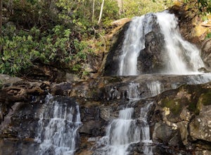
This beautiful, 110-foot waterfall is an easy 15-minute walk from the parking area. Note that the walk down to the falls, although short, is steep and there isn’t a well-marked trail down. It’s more about choosing the path of least resistance. Also, it can get quite busy in the summer time espec...
Read more
-
Ewing, Virginia
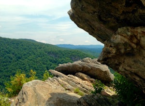
After a 2.5 mi hike up the Ewing Trail, you will reach the Ridge Trail. Go left for approximately 1 mi until you reach a landing for horses. Another 0.25 mi down the trail, you will encounter some steep wooden steps as well as several slippery boulders. Depending on recent weather and season, you...
Read more
-
Ewing, Virginia
Starting at the Ewing Trailhead, in Ewing, VA, you will meander up the ridge for about 2.5 mi before meeting up with Ridge Trail. The ascent is approximately 1500 ft up the side of the majestic White Rock Ridge. Mud, loose rocks, and some very steep climbs are included.Once at the top, left takes...
Read more
-
Ewing, Virginia
Cumberland Gap National Historic Park encompasses more than 20,000 acres of mountainous terrain spread out across Virginia, Tennessee, and Kentucky. The park offers miles of trails and many historic curiosities, including the actual saddle where pioneers first found their way over the Cumberland ...
Read more
-
Sevierville, Tennessee
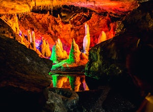
When exploring all that Tennessee has to offer, it’s hard to ignore the fact it is home to more caves than any other state in America. So when picking one, of more than 10,000, to explore it is hard to go wrong. Forbidden Caverns happens to be one of the most popular spots and is only a few minut...
Read more
-
Sevierville, Tennessee
4.3
2.45 mi
/ 314 ft gain
This straightforward, yet scenic hike follows a paved trail to the falls, which is among the most popular in the park.
This trail can be especially crowded during the summer, so be sure to arrive early. Keep an eye out for a few steep drop-offs on either side of the trail along the way. There ha...
Read more
-
Townsend, Tennessee
5.0
11.3 mi
/ 3020 ft gain
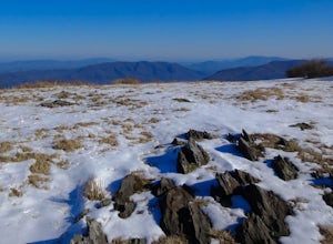
The Gregory Bald summit is indisputably picturesque – the 10-acre meadow at the top hosts magnificent azalea blooms in June, wild blueberries in August, and views of Cades Cove, Rich Mountain, Fontana Lake, Thunderhead Mountain, and Clingmans Dome, year-round.
Start this hike at the Gregory Ridg...
Read more
-
Upper Tremont Road, Tennessee
4.5
7.21 mi
/ 1140 ft gain
One of the best trails in the Smokies is the Middle Prong Trail. The trail passes three major waterfalls, in addition to numerous smaller falls, cataracts and cascades.
Once you've parked, you'll start at the trail head and immediately see your first cascade. From the trailhead hikers will cro...
Read more

