Alburtis, Pennsylvania
Top Spots in and near Alburtis
-
Jim Thorpe, Pennsylvania
Hike to Glen Onoko Falls
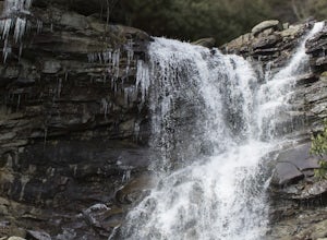
4.64.1 mi / 987 ft gain*Again, this hike is CURRENTLY CLOSEDThere are several WRONG ways to do this trail. Follow these simple instructions to get the most out of all Glen Onoko has to offer: Parking: Parking in the correct location is the most important step to this trail. Beware: typing in Glen Onoko Falls in Google ...Read more -
Frenchtown, New Jersey
Hike to the Devil's Tea Table
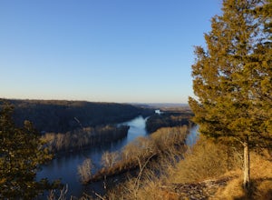
3.00.5 mi / 20 ft gainApart from the rock, there's more trail to follow for a stunning overview and a great spot to hang out and relax. The view is a must-see, it is so much better in person. The hike is not challenging at all, it is basically a straight trail. Climbing some medium sized rocks might be required, but i...Read more -
Stockton, New Jersey
Explore Kugler Woods Waterfall
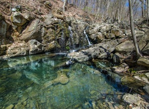
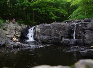
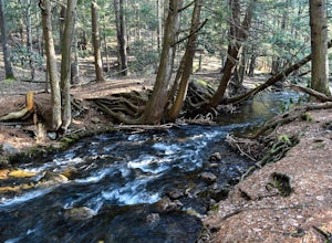
4.00.5 miDrive 5.2 miles north on Route 29 from the center of Stockton, NJ and you will come across a very small parking lot on the left side of the road. If you park your car there, walk back south on Route 29 about 50 feet, and cross over to the woods-side of the road. There you will find the trailhea...Read more -
Penn Forest Township, Pennsylvania
Tank Hollow Vista
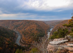
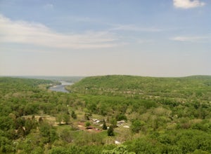
4.03.33 mi / 272 ft gainThis is a simple, short hike to a fantastic vista looking out over the Lehigh River Gorge. The trailhead for the hike to Tank Hollow Vista is along Behrens Road just outside of Jim Thorpe, PA. Most of the hike is on state game lands. If the gate is open from the first lot, you can shorten this h...Read more -
Malvern, Pennsylvania
Hike Valley Forge
3.92.5 miThere are many trails to choose from on Mt. Misery and a good place to start is at the parking lot located at the intersection of Yellow Springs Road and Library Lane (off of the main Valley Creek Road).The Mt. Misery Trail starts there, heads up through the trees about 0.75 miles and meets up wi...Read more -
Washington, New Jersey
Merrill Creek Reservoir Perimeter Trail
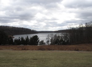
4.05.33 mi / 371 ft gainMerrill Creek Reservoir Perimeter Trail is a loop trail that takes you by a lake located near Stewartsville, New Jersey.Read more -
Stockton, New Jersey
Hike to the Hidden Lockatong Waterfall
3.72 miIf you're on Kingwood Stockton Road, there will be a dirt road with a Lockatong Nature Preserve sign before it (going north on Kingwood Stockton Road, the sign will be on your left. If you're driving south, the sign will be on your right). Just drive all the way until the end of the dirt road and...Read more -
Albrightsville, Pennsylvania
Hawk Falls in Hickory Run State Park
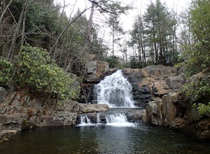
4.10.68 mi / 108 ft gainHawk Falls is located in Hickory Run State Park, Pennsylvania in the Poconos Mountains. The trail is mostly downhill, with some slippery sections so wear adequate shoes and take caution when you approach the falls. A rock outcrop at the top of the falls makes for a great lookout point. The 0.7 ou...Read more -
Philadelphia, Pennsylvania
Hike the Wissahickon Gorge: Valley Green and Two Meadows Loop
5.08.5 miThe Wissahickon Gorge offers beautiful hiking without even having to leave the Philadelphia city limits. There are seemingly countless entry points into the gorge and hiking options are plentiful, with everything from a leisurely stroll down Forbidden Drive to an 18 mile boot buster available.One...Read more -
Philadelphia, Pennsylvania
Hike to the Thomas Mill Covered Bridge
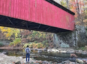
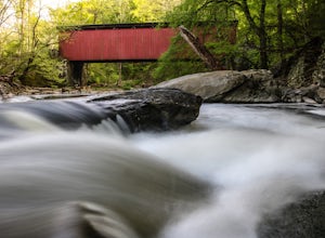
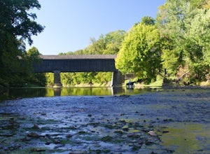
1 miBuilt in 1855, the Thomas Mill Covered Bridge is an 85 foot long Howe-truss bridge located about 1/2 mile from the nearest road in Wissahickon Valley Park. Hiking to the bridge is easy and there are two routes to choose from. Start at either of the parking areas on Bells Mill Road. You can either...Read more -
Lake Harmony, Pennsylvania
Shades of Death Trail
4.51.89 mi / 223 ft gainThe trailhead and parking are available by the park office or along PA 534 by the nature center and amphitheater. This trail is beautiful and seemed to change around every bend. Sand Spring Run flows alongside the entire trail. Rock formations and rhododendron mix with remains of a logging mill a...Read more -
Lambertville, New Jersey
Hike the Goat Hill Overlook
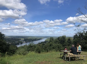
1 miHike a short and easy path up a hill to the Goat Hill Overlook where you'll have a wonderful view of the Delaware River and New Hope, PA. Put 'Goat Hill Overlook' into your maps and you will be led right to the trailhead where you can easily park in the gravel parking lot or on the side of the pa...Read more -
New Hope, Pennsylvania
Visit Bowman’s Hill Tower
4.0Right off of River Road (Rt. 32), Bowman's Hill is one of the best views in Bucks County. When driving on River Road, you will see a sign for Bowman's Tower that leads to the top, where there is an ample amount of parking. From there, walk a short distance and then climb the tower for the view. ...Read more -
Lake Harmony, Pennsylvania
Explore Boulder Field in Hickory Run State Park
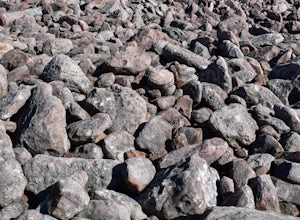
3.0Boulder Field is easily found following signs in Hickory Run State Park and has its own parking lot. Boulder Field is a small piece of landscape leftover from the last ice advance thousands of years ago. It covers an area of 400 feet wide by 1,800 feet long and about 10 feet deep. Boulders rang...Read more -
Newtown, Pennsylvania
Canoe Neshaminy Creek at Tyler State Park
1 miEnjoy a peaceful paddle on Neshaminy Creek by canoe in Tyler State Park. The park is in a beautiful part of Bucks County and also offers paved and unpaved trails for running and bike riding, an extensive disc golf course, swimming in the creek, and picnic areas. It is likely that you will see a h...Read more -
Lambertville, New Jersey
Mountain Bike Dry Run Creek Trail
1 miThis short trail runs alongside a small creek, and is a perfect spot for mountain biking and running. There is a small parking lot right at the trailhead, making this spot very convenient to access. It is not a very challenging ride, although there are a few ruts that can be messy if it has recen...Read more

