Scotts Mills, Oregon
Top Spots in and near Scotts Mills
-
Corbett, Oregon
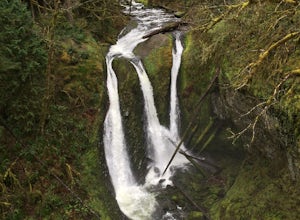
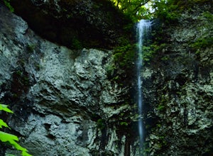
Triple Falls
4.53.4 mi / 1168 ft gainAccess to Triple Falls is currently closed. Learn more on the Forest Service Site. This hike, starting at the Oneonta Trailhead is a 3.2 mile roundtrip. You will gain approximately 600 feet in elevation as the trail often switches from moderate flat easy hiking to more difficult elevation gain a...Read more -
Cascade Locks, Oregon
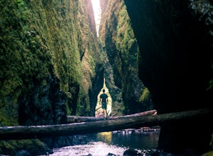
Oneonta Gorge
4.80.92 mi / 531 ft gain*Currently closed (except a small portion of the upper trail between Multnomah Spur and Trail #444 on Larch Mountain)...here This hike is very short (1 mile roundtrip) but does take some time to do. The trail leads down from the road into a stream bed. You follow the stream bed upstream through ...Read more -
Cascade Locks, Oregon
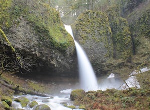
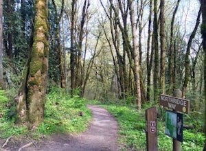
Horsetail Falls Loop
4.52.56 mi / 610 ft gainStart off on this loop from Horsetail Falls Trailhead. It never hurts to start a hike with a view of Horsetail Falls. This 2.5 mile loop will start you off on Gorge trail #400 up Horsetail Falls Trail. You’ll encounter a few switchbacks before the trail flattens out and leads you into the valley ...Read more -
Cascade Locks, Oregon
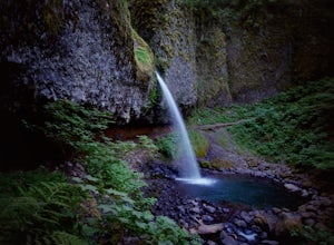
Ponytail Falls
4.60.85 mi / 463 ft gainPonytail Falls is an easy 0.8 mile hike located in the gorge that begins at Horsetail Falls. After hiking up mild switchbacks, continue to your right at the first trailhead intersection. The path levels out before coming around the mountain and opening up to the waterfall. This is the easiest wa...Read more -
Government Camp, Oregon
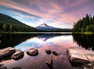
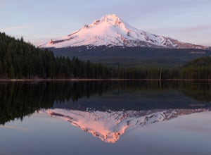
Trillium Lake
4.91.89 mi / 108 ft gainTrillium Lake is a popular camp spot at the base of Mount Hood. It's known for it's scenery, abundant recreational activities, and is family friendly. Boating, swimming and fishing are quite popular on the 63 acre lake. There is a small boat ramp within the campground and a larger ramp available ...Read more -
Government Camp, Oregon
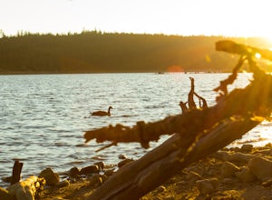
Camp at Clear Lake
4.0Located just 1.5 Hours from Portland and on the east side of clear lake, this campground offers multiple water activities such as Kayaking, SUP, Fishing, and Swimming. What's great about this campground is that the sites are large and are shaded by the old growth trees which makes it feel more s...Read more -
Foster, Oregon
Hike the Middle Pyramid
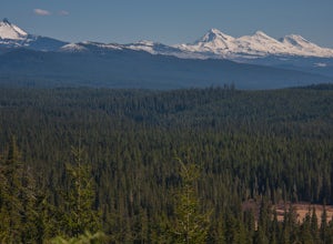
4.5The Three Pyramids, half as tall as the better-known Three Sisters, are beautiful U-shaped glacial valleys, remnants of the Ice Age.To reach the top of Middle Pyramid, leave from the #3380 trailhead at the west end of the parking area. Early on there is a creek crossing (the bridge was still wash...Read more -
Beaver, Oregon
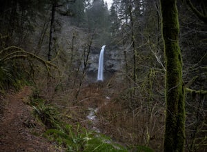
Hike to Pheasant Creek Falls
4.04 mi / 800 ft gainHike: The hike to Pheasant Creek Falls is just short continuation of nearby Niagara Falls. After reaching Niagara Falls, continue on the trail for about another 300 feet and you'll reach the more impressive, Pheasant Creek Falls.For more detailed information including a trail map and directions ...Read more -
Ridgefield, Washington
Hike Whipple Creek
3 mi / 200 ft gainEach trail is well maintained and easy to navigate through the area. All trails are either packed dirt or gravel depending on which trail you’re on. The Douglas-firs, hemlocks, ferns, Oregon grape and many other native tree and plant varieties grow in the area that make the area abound with wild...Read more -
Beaver, Oregon
Hike to Niagara Falls, OR
4.04 mi / 800 ft gainGetting There Get onto Highway 101. Between Tillamook and Lincoln City at the town of Beaver, turn east near mile marker 80 onto a paved road toward upper Nestucca River. Follow this scenic road 6.7 miles to the town of Blaine. Stay to the right and drive another 4.8 miles; between mile markers 1...Read more -
Government Camp, Oregon
Camp at Trillium Lake
4.5The reflection of Mt. Hood on the lake makes this trip definitely worth the visit.Try to arrive during the day so you can watch the sunset. For photographers, the south side of the lake is an amazing spot to take photos, especially on a windless day. For those looking to kayak or fish, there is a...Read more -
Government Camp, Oregon
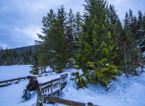
Snowshoe or Cross-Country Ski to Trillium Lake
5.03.6 miStarting at the parking lot for Trillium Lake located right off of Highway 26, go past the locked gate and begin walking downhill. After about a mile, you will see a fork in the road. Either way will eventually take you to the lake, but going left will be much quicker and take you to the best spo...Read more -
Marion Forks, Oregon
Marion Falls
4.14.12 mi / 968 ft gainThis hike explores an off-trail trip to one of my favorite waterfalls in Oregon. To kick off this hike, you'll start at the Marion Lake trailhead. The road to this trailhead is Marion Creek Road at mile point 66.5 off Highway 22. It's 4.3 miles until you reach the parking lot and start your journ...Read more -
Mount Hood, Oregon
McNeil Point via Top Spur Trailhead
4.97.17 mi / 2428 ft gainThe hike to McNeil Point begins at Top Spur Trailhead, in the Mt. Hood National Wilderness. Follow signs for McNeil Point along the Pacific Crest and Timberline Trails heading north. Though there are numerous camping opportunities along the way (most of the route follows the PCT), an old stone s...Read more -
Mount Hood, Oregon
Hike to Sandy Glacier Caves
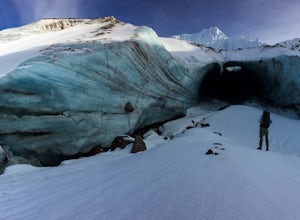
4.512.5 mi / 2800 ft gainThe hike to the caves begins at Top Spur Trailhead. The hike to McNeil Point is 5.4 miles one way, and 2200 feet of elevation gain. The trail starts in the forest, but will eventually open up to views of Mt Hood, as well as St. Helens, Adams and Rainier on a clear day.There is a shortcut up to Mc...Read more -
Mount Hood, Oregon
Timberline Loop Trail via the Top Spur Trail
4.02.26 mi / 627 ft gainStarting at the parking area, cross the dirt road to start hiking up from the Top Spur Trailhead. In 0.4 miles you will reach the Pacific Crest Trail intersection, take a right onto the Pacific Crest Trail. In a couple hundred feet you will reach a larger intersection of a bunch of different trai...Read more

