Oregon
Looking for the best photography in Oregon? We've got you covered with the top trails, trips, hiking, backpacking, camping and more around Oregon. The detailed guides, photos, and reviews are all submitted by the Outbound community.
Top Photography Spots in and near Oregon
-
Dorena, Oregon
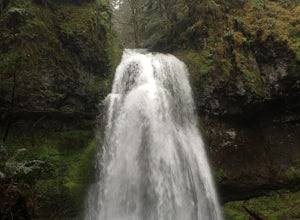
Hike to Spirit, Moon, and Pinard Falls
4.22.8 mi / 630 ft gainSpirit Falls is the first stop on this adventure. From the parking pull-out walk a short distance of 0.4 miles to the 40 foot fan falls. Don't let the small size deter you, this is a pretty little falls, with a lovely stroll through an old growth forest and beautiful little trilliums. There is a ...Read more -
Cascade Summit, Oregon
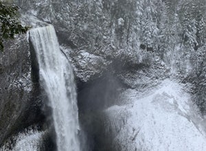
Diamond Creek Falls
5.02.92 mi / 443 ft gainThe beginning of this trail starts at the parking lot of Salt Creek Falls, right off of the 58 freeway. During the winter months, there's a gate blocking the road to the parking lot. You can park at the gate and it's a 0.6 mile walk to the beginning of the Salt Creek Falls trailhead. If you haven...Read more -
Portland, Oregon
Night Photography at the OMSI Dock
4.5Starting at OMSI, walk towards the Hawthorne bridge, and away from the Tillicum bridge. After about a tenth of a mile, you will see a dock and the Hawthorne bridge. Walk down on the dock, or take pictures from above. For added adventure, walk under the Hawthorne bridge and take pictures from the ...Read more -
Newport, Oregon
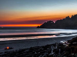
Explore the Yaquina Head Lighthouse
4.6The Yaquina Head Natural Area is home to the historic 93 ft tall Yaquina Head lighthouse, built in 1872. The construction of the lighthouse from approximately 370,000 bricks took nearly a year, and the lighthouse has been active ever since.The park is open daily, from 7am until sunset; however, i...Read more -
Mount Hood, Oregon
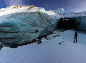
Hike to Sandy Glacier Caves
4.512.5 mi / 2800 ft gainThe hike to the caves begins at Top Spur Trailhead. The hike to McNeil Point is 5.4 miles one way, and 2200 feet of elevation gain. The trail starts in the forest, but will eventually open up to views of Mt Hood, as well as St. Helens, Adams and Rainier on a clear day.There is a shortcut up to Mc...Read more -
Mount Hood, Oregon
Cooper Spur
5.06.87 mi / 3097 ft gainCooper Spur is located on the north east side of Mount Hood. This is the hike to do if you want to get up close and personal with the mountain. To get there you have to drive around 10 miles up a bumpy dirt road, once off the main road. Low-clearance vehicles can make it but high clearance vehic...Read more -
Arch Cape, Oregon
Hug Point Waterfall and Cave
4.60.67 mi / 141 ft gainHug Point is located just 4-5 miles south of the famous Cannon Beach along HWY 101 and is a must stop on any travel along the Oregon coast. Hug Point got its name from the original travelers to this beautiful area. Without the modern day highways we know today, visitors to this rugged coast line ...Read more -
Arch Cape, Oregon
Cape Falcon Trail
5.04.67 mi / 561 ft gainCape Falcon is one of two major hikes within Oswald West State Park, fifteen minutes south of Canon Beach on the Oregon Coast. Park in the lot at the trailhead off Highway 101 and head in. After a half a mile or so you’ll come to a junction with options for “The Beach” or “Cape Falcon”. Go right ...Read more -
Clackamas County, Oregon
Tumala (Squaw) Mountain
4.74.51 mi / 1099 ft gainOn a clear day, this short, secluded hike offers breath-taking views of Mt. St. Helens, Mt. Rainier, Mt. Adams, Mt. Hood, and Mt. Jefferson, as well as of downtown Portland, Coast Range, and the Roaring River Wilderness. Begin the hike from the Twin Springs Trailhead and immediately take your fi...Read more -
Cascade Locks, Oregon
Mount Defiance
3.712.55 mi / 5167 ft gainThis hike starts at the Starvation Creek Rest Area. After parking, head west back along the shoulder of the freeway, where you’ll see a wooden sign stating “Mt. Defiance Trail.” Continue heading west along the abandoned Columbia River Highway. Keep going west as you pass the junction with the Sta...Read more -
Cascade Locks, Oregon
Chinidere Mountain
4.83.18 mi / 1150 ft gainThe easy version of the Chinidere Mountain hike starts Wahtum Lake Trailhead. The road to the parking lot for Wahtum Lake is paved and thus very easy to access in summer and before snowfall in autumn! The mountain sits across the lake from the parking lot and there are several trails that will ta...Read more -
Terrebonne, Oregon
Summit Trail Loop at Smith Rock
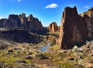
4.66.87 mi / 1506 ft gainSmith Rock State Park is an iconic PNW canyon that's become one of the rock climbing capitals of the country, and known worldwide for its sport climbing routes. And while climbing draws crowds year-round, adventurers also visit for its trail system boasting sweeping Central Oregon volcano views. ...Read more -
Cannon Beach, Oregon
Crescent Beach Trail
5.02.28 mi / 797 ft gainHead off the 101 to Ecola State Park and drive to the large main car area. From here the trailhead is located just above the restroom facility and is well signed, you can't miss the huge placard. Starting with a few short incline stair sets, you will hit the main roadway; follow the sidewalk for ...Read more -
Gaston, Oregon
University Falls
4.00.61 mi / 138 ft gainThe 0.3 mile hike to University Falls seems longer than it is because you'll be stopping to take pictures every step of the way. No, you're not in an enchanted forest, you're in the Tillamook National Forest. The waterfall you're about to find, however, certainly is enchanting. From Portland, he...Read more -
CRATER LAKE, Oregon
Watch the Sunrise at Crater Lake
4.8Drive to the overlook at Crater Lake well before sunrise. Actually, you should probably just sleep in your car for a bit to make sure you're not late for this incredible sight. Witness the changing colors and light as the sun creeps over the east side of the lake, throwing shadows and reflections...Read more -
Detroit, Oregon
Dome Rock via the Upper Trailhead
2.36 mi / 479 ft gainFrom Highway 22 at the Breitenbush River Bridge, in Detroit, turn north on to French Creek Rd. Drive up French Creek about 7.7 miles to the Upper TH #3379/3381 to Dome Rock and Tumble Lake. The trail can be found on the left side of the road and is easily seen after you pass it. It's best to pass...Read more

