Klamath County, Oregon
Top Spots in and near Klamath County
-
Douglas County, Oregon
Mt. Bailey and Hemlock Butte Cabin
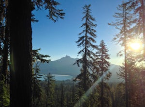
11.09 mi / 3192 ft gainThe trail starts at 5200 feet and climbs through the forest for 1.6 miles to an opening with a great view off diamond lake and the beautiful and very recognizable Mt. Thielsen. There are several small outcropping here that make a perfect spot to stop and get out the backpacking stove for some mou...Read more -
Jackson County, Oregon
Backpack to Devil's Peak and the Seven Lakes Basin
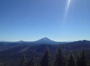
3.013.7 mi / 3050 ft gainStarting at at elevation of 5250 feet, the trail climbs steadily from the trailhead for approximately 3.3 miles to pass at 6900 feet. From here you will come to a junction where going right will lead to Devils Peak and the PCT and going left (straight) will take down into the basin. If you starte...Read more -
Prospect, Oregon
Explore the Rogue River Gorge
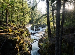
5.0This 500 ft. long gorge carved out of an old lava tube sits right along highway 62 near Crater Lake. The original road that brought travelers to the National Park passed right next to the gorge but it now remains hidden from view of the current highway. The area isn't large but has a nice parking...Read more -
Prospect, Oregon
Explore Pearsony Falls
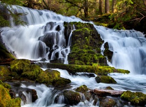
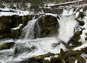
0.5 miPearsony falls, located in the Oregon State Park known as Prospect State Scenic Viewpoint, is about 15 feet tall and cascades picturesquely in two sections underneath a green canopy and between mossy rocks. The falls flow year round, though water levels vary with the season. A trip to Pearsony Fa...Read more -
Douglas County, Oregon
Muir Creek Falls
5.01.08 mi / 135 ft gainMuir Creek Falls Trail is an out-and-back trail that takes you by a waterfall located near Crater Lake, Oregon.Read more -
Prospect, Oregon
Mill Creek Falls & Barr Creek Falls
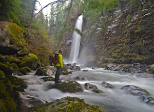
5.01.54 mi / 315 ft gainMill Creek Falls is a lesser-known gem in Southern Oregon. At 173 ft it is one of the tallest in the area, and Barr Creek Falls, plunging 240 ft, is less than a quarter mile further down the trail. The viewpoints can be accessed year-round though flows often fluctuate and spring/winter may best f...Read more -
Paisley, Oregon
Soak in the Summer Lake Hot Springs
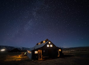
5.0From Bend drive 32 miles south on Highway 97, through La Pine to Highway 31 (2 miles south of La Pine). Turn left (east) on Highway 31 and continue for 92 miles. Summer Lake Hot Springs is on the left side of the road at mile marker 92.This is a very rustic area, with old barns and farm equipment...Read more -
Diamond Lake, Oregon
Clearwater Falls
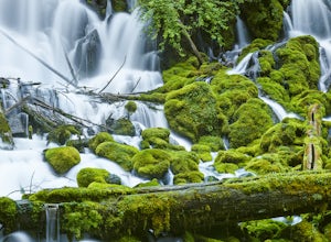
4.30.15 mi / 7 ft gainThis has to be one of the most overlooked waterfalls in Oregon. It doesn't get a lot of publicity, and it's tucked away in south-central Oregon. As such, many people don't pay it much attention. That's too bad. Clearwater Falls can be found just off Highway 138, near mile marker 69. Clearwater F...Read more

