Estacada, Oregon
Top Spots in and near Estacada
-
Cook, Washington
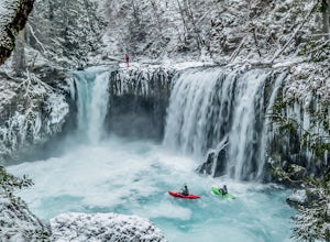
Spirit Falls
4.01.5 mi / 516 ft gainNOTE: Access to this hike is currently closed. A Part of this hike goes through private land. At this time, the landowner is not granting access to hikers. There are no signs or trail head for the falls, but it's a popular spot for kayakers and photographers, so look for a faint boot path direct...Read more -
Amboy, Washington
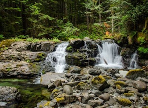
Siouxon Trail to 14 Mile Falls
5.013.03 mi / 2310 ft gainWhen you park at the top of the trail, all you see is layers and layers of emerald trees and ground clear of any underbrush. Once on the trail, you start on a rapid decline that brings you to the first of the many streams along this hike. Cross the bridge made out of logs and head towards the ma...Read more -
McMinnville, Oregon
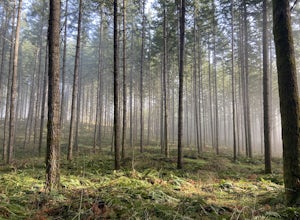
Miller Woods
5.03.63 mi / 735 ft gainMiller Woods Trail is a loop trail where you may see beautiful wildflowers located near McMinnville, Oregon.Read more -
McMinnville, Oregon
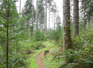
Hike the Red Trail in Miller Woods
4.04 mi / 400 ft gainLocated three miles west of McMinnville and available for public hiking and activities, Miller Woods is owned and operated by Yamhill SWCD. You may choose different trails to take.From the parking lot the trails are marked by colors to go on the 4.0 mile loop go to the meadow and follow the red m...Read more -
Detroit, Oregon
Russell Lake via Whitewater Creek Trailhead
4.811.4 mi / 1926 ft gainThis hike begins 7.5 miles down Whitewater Road at the Whitewater Trailhead, about 10 miles east of Detroit Lake. The road is bumpy, but can be navigated at slow speeds, even without four-wheel drive. Make sure to fill out a wilderness pass once you arrive at the trailhead. The trail is very wel...Read more -
Woodland, Washington
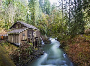
Explore the Cedar Grist Mill
3.6After parking in the lot near the mill, walk across the bridge. This is the first good viewpoint for photography. Next, I recommend walking under the bridge, this is my favorite spot for taking photos. The whole area is free to walk around, you can even walk in the mill and then walk up stream do...Read more -
Carson, Washington
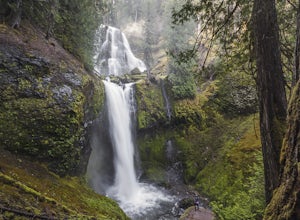
Falls Creek Falls
4.85.82 mi / 1512 ft gainThe trail to Falls Creek Falls is well maintained with a few short moderately steep areas. The trail hugs the creek for the first mile, and takes you through old growth trees for the second mile. Once the falls are in sight, make sure to stop and look up to see the top tier through the trees. It'...Read more -
Carson, Washington
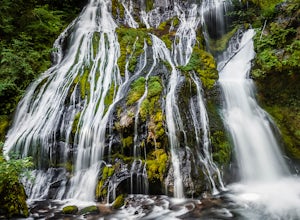
Panther Creek Falls
4.60.64 mi / 180 ft gainThis hidden beauty is just north of Carson, Washington. Watch for Panther Creek campground signs and follow the twisting road about 7 miles to a rock quarry and park there. The trail begins just off the road about 50 yards back - keep an eye out for signs for the trailhead and listen for the fall...Read more -
Idanha, Oregon
Pamelia Lake Trail
4.04.37 mi / 906 ft gainPamelia Lake Trail is an out-and-back trail that takes you by a lake located near Idanha, Oregon.Read more -
Idanha, Oregon
Hunt's Cove via Pamelia Lake Trail
14.74 mi / 3150 ft gainThis loop through the Pamelia Lake Limited Entry Area is one of the premier backpacking trips in the Mount Jefferson Wilderness. The trail offers sustained up-close views of Mount Jefferson and several lookout points provide panoramic views of the western Oregon Cascades. The several large back...Read more -
Idanha, Oregon
Hike Grizzly Peak
4.510 miAfter leaving your car at the Pamelia Lake trailhead, hike 2.3 miles along the trail following Pamelia Creek. The Grizzly Peak trailhead will be on the right just before the lake, which you should check out before or after your hike up to Grizzly Peak—there are several campsites around the lake t...Read more -
Idanha, Oregon
Hike up the South Slopes of Mount Jefferson
15 mi / 7400 ft gainSet out from Pamelia Lake Trailhead through dense old growth forest. You'll see giant cedars, mixed firs and stunning mountain streams carving their way thru very green forest. After a couple miles, you'll reach Pamelia Lake. This is a great place to grab a snack, water, take photos and camp if y...Read more -
Linn County, Oregon
Coffin Mountain Fire Lookout
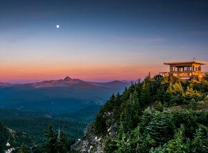
5.02.67 mi / 873 ft gainCoffin Mountain Fire Lookout is a beautiful day hike that takes you to its summit at 5771 feet elevation, covering roughly 1070 feet elevation gain. To get to the Coffin Mt. trailhead from Detroit OR, travel east on Highway 22 for approximately 19.5 miles to Forest Road 11 (Straight Creek Road)....Read more -
Hood River, Oregon
Kiteboard in the Columbia River Gorge
5.0Kiteboarding is one of the fastest growing sports in the world and for good reason. Imagine racing over the water with 30 mph winds, jumping from waves and grinding on a rail with your board. Ok ok maybe that is way to much for most of us and just standing up would be an accomplishment, but Kite...Read more -
Hood River, Oregon
Bike from Hood River to The Dalles
2.040 mi / 2800 ft gainThe ride from Hood River to The Dalles is one of the best 20 mile stretches of road biking in Oregon, and arguably the best. The ride starts out in the wonderful town of Hood River - a tourist and adventure destination in its own right - and follows the historic Columbia River Gorge highway (US-3...Read more

