Deschutes County, Oregon
Top Spots in and near Deschutes County
-
Deschutes County, Oregon
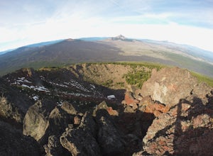
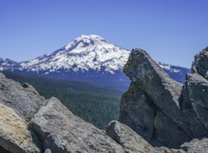
Summit Black Crater
5.08 mi / 2211 ft gainThe Black Crater Trailhead parking lot is accessed off the McKenzie Pass (Hwy 242). The trailhead starting elevation is 5,040ft. (using the iPhone app "Topo Maps". Great app) with a 3.8 Mile hike one way to the Black Crater Summit at 7,251ft of elevation. Some parts of the trail are steep and g...Read more -
Crescent, Oregon
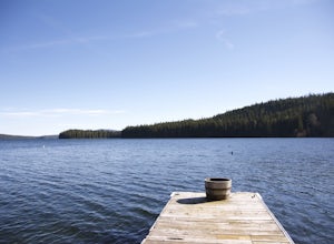
Odell Lake
5.010 mi / 65 ft gainThis spot in central Oregon is a beautiful, natural lake where you can combine a nice hike with an afternoon of fishing. There are opportunities for multiple hikes surrounding the lake that are moderately challenging hikes and also remain scenic throughout the 10 mile trek around the lake. Relax...Read more -
Lane County, Oregon
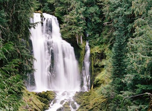
Linton Falls
4.54 mi / 900 ft gainNOTE: There is no development of viewing areas or trails, which makes for more of a wilderness experience than other waterfalls in the region. There may also be fallen trees blocking the trail, making this adventure more challenging. Hiking to Linton Falls accounts for the two larger waterfalls...Read more -
Lane County, Oregon
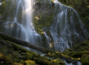
Proxy Falls
5.01.51 mi / 374 ft gainThis is one of the most amazing waterfalls in Oregon. The size is unbelievable – especially when you’re standing right underneath it, which I would recommend anyone to do (just be prepared for a misty shower) The hike is Easy! It’s only about 2 miles round trip. I remember going here when I was ...Read more -
Lane County, Oregon
Substitute Point via Foley Ridge Trail
9.75 mi / 1900 ft gainThis is a viewless hike until you reach Substitute Point. You are then rewarded with an amazing view. From the trailhead (#3511) you will travel 4.3 miles on an unmaintained trail into the Three Sisters Wilderness to the junction of Substitute Point. The trail has lots of fallen trees you must c...Read more -
Lane County, Oregon
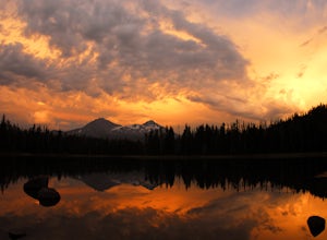
Camp at Scott Lake
Scott Lake Campground is truly a hidden gem off the McKenzie Pass Scenic Drive. Nestled right next to the Mt Washington Wilderness Area, this small campsite with only 20 primitive sites lining the lake gives spectacular views over toward the Three Sisters to the South-East.To get there - turn ont...Read more -
Lane County, Oregon
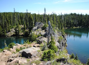
Tenas Lakes via Benson Lake Trail
3.54.93 mi / 755 ft gainStarting from Scott Lake in the Willamette National Forest, take the Benson Lake Trail head that starts at the end of the road. This climbs gradually up to Benson Lake, a large, deep, cold lake. From there follow the trail up until you see a junction and a sign to Tenas Lakes. Follow this trail u...Read more -
Crescent, Oregon
Fuji Mountain Summit via Waldo Road
11.3 mi / 2329 ft gainBackground Fuji Mountain has been known by mountain bikers for years, since it sits just off the circuit of popular biking routes around Waldo Lake and makes for a notoriously difficult climb on a bike. Word hasn't spread to the hiking community yet, despite the spectacular views from the summit...Read more -
Deschutes County, Oregon
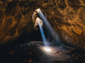
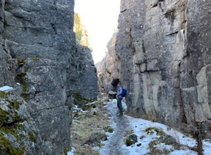
Skylight Cave
4.40.2 mi / -25 ft gainThe hardest part about getting to Skylight Cave is the drive. Start by coming from Sisters, Oregon, and use the driving directions below to find it. The Google Maps pin is accurate, and if you like coordinates, you can use 44°20'55.3"N 121°42'55.9"W as well. It's recommended you download an offl...Read more -
Crescent, Oregon
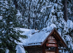
Ski or Snowshoe to Midnight Lake
6.2 mi / 600 ft gainThe trip to Midnight Lake is a great way to spend a winter day and explore an otherwise overlooked lake in the central Oregon Cascades. Although the lake does see winter visitors, it is often empty and very few people bother to hike to the far end of the lake. The route to the lake is through be...Read more -
Crescent, Oregon
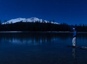
Diamond View Lake via Trapper Creek
9.88 mi / 1070 ft gainDiamond View Lake is relatively unknown compared to many of the other lakes in the Oregon Cascades, yet the views it delivers of Diamond Peak are top-notch. While it can also be done as a summer backpack, winter brings out the best aspects of the scenery - low-angle light on Diamond Peak, long n...Read more -
Camp Sherman, Oregon
Black Butte
4.53.94 mi / 1493 ft gainJust outside of Sisters Oregon is the stunning and popular day hike to the summit Black Butte (Elevation 6,436 feet). At the top, spectacular views of the surrounding Cascades await the intrepid hiker. To get to the trailhead, turn off of Highway 22 onto National Forest Road (NFR) 11, also known...Read more -
Silver Lake, Oregon
Crack-in-the-Ground Trail
5.01.59 mi / 131 ft gainCrack-in-the-Ground Trail is a loop trail that takes you past scenic surroundings located near Christmas Valley, Oregon.Read more -
Lane County, Oregon
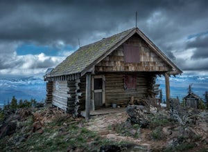
Ski or Snowshoe to Fuji Shelter
8 mi / 1400 ft gainThis is a great and relatively easy winter overnight trip for cross-country skiiers and snowshoers alike into the crest of the Oregon Cascades. The route offers tremendous views of Diamond Peak, Willamette Pass, and the western Oregon Cascades. While it can be done in a day, take advantage of th...Read more -
Sisters, Oregon
Winter Camp on Cache Mountain
5.02 miCache Mountain offers amazing views of Mt Jefferson, 3 Fingered Jack, Mt Washington and the North and Middle Sisters. In the summer months, it is also known as one of the best single track mountain biking spots in Central Oregon. This is a great spot for a multi-day camping trip; set up camp and ...Read more -
Cascade Summit, Oregon
Diamond Creek Falls
5.02.92 mi / 443 ft gainThe beginning of this trail starts at the parking lot of Salt Creek Falls, right off of the 58 freeway. During the winter months, there's a gate blocking the road to the parking lot. You can park at the gate and it's a 0.6 mile walk to the beginning of the Salt Creek Falls trailhead. If you haven...Read more

