Cloverdale, Oregon
Top Spots in and near Cloverdale
-
Beaver, Oregon
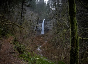
Hike to Pheasant Creek Falls
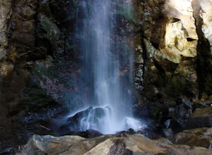
4.04 mi / 800 ft gainHike: The hike to Pheasant Creek Falls is just short continuation of nearby Niagara Falls. After reaching Niagara Falls, continue on the trail for about another 300 feet and you'll reach the more impressive, Pheasant Creek Falls.For more detailed information including a trail map and directions ...Read more -
Rockaway Beach, Oregon
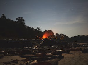
Capture the Coast at Night from Rockaway
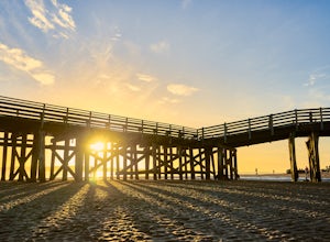
5.0Clear nights on the Oregon Coast can be hard to come by, and your best bet to grab night time photos of the coast is in the Summer.This particular section of the coast is relatively quiet in the Summer time. You can park your car easily along the road that gives you access to the beach. This is a...Read more -
Otis, Oregon
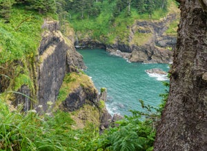
Hike Hart's Cove Trail
5.05 mi / 900 ft gainThe trail starts at the end of Forest Service Road 1861 which is closed January 1st through July 15th for wildlife conservation. This trail descends about 900 feet in elevation through a Sitka Spruce-Western Hemlock rain forest. You will cross two seasonal creeks and end at a prairie headland o...Read more -
Otis, Oregon
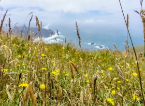
Hike to Cascade Head
4.56.8 mi / 1200 ft gainCascade Head on the Oregon Coast sits a top a 270 acre preserve protected by the Nature Conservancy and is a National Scenic Research Area and a United Nations Biosphere Reserve. From the south trail head at Knight Park the trail winds through an old growth coastal forest before climbing 1200 ver...Read more -
Lincoln City, Oregon
Hike to God's Thumb
4.02 mi / 800 ft gainFrom Road's End State Park, map your way to the end of NE Port Street and park on a pull off next to the described gate: on your right you'll see the gate with three skinny trees to the right of it. You'll want to park as close to this gate as possible, this will be in between some houses on a hi...Read more -
Rockaway Beach, Oregon
Crabbing at the Brighton Marina
5.0Crabbing is just one of those things everyone should do along the Oregon Coast. Its fun, fairly straightforward, and then you get to eat them! Total win-win. We were taking our time along the Oregon Coast and had heard that Kelly's Brighton Marina was a great place to learn to crab. For $100/hour...Read more -
Lincoln City, Oregon
Explore the Oregon Coast at Wecoma Beach
3.0Wecoma Beach is a district of Lincoln City and the beach actually stretches along all of the districts in Lincoln City. This means you can access the beach from practically anywhere, but the beach by Wecoma offers a bit more solitude. The beach is dog-friendly, so take your four-legged-friend ou...Read more -
Tillamook, Oregon
Fly Fish the Wilson River in Oregon
3.0Driving from Portland, Oregon west towards Tillamook, Oregon this is an easy bank access river to hit with big fish. Approximately 45 - 60 minutes drive from Portland to Highway 6 west towards Tillamook, the rivers runs next to the highway for several miles making it easy to pull-off and hit the ...Read more -
Manzanita, Oregon
Camp at Nehalem Bay State Park
5.0Nehalem Bay State Park is a great central location on the Oregon Coast to use as a base camp, whether you want to go south to explore Cape Kiwanda or go north to photograph the famous Cannon Beach. There are six loops: A-F, and only A-C are open in the winter. The only first-come-first-served are...Read more -
Tillamook, Oregon
King's Mountain
4.54.47 mi / 2461 ft gainKing's Mountain may be one of the most consistent hikes in the greater Portland area gaining 2,500 vertical-feet over 2.5 miles almost evenly the entire time. The trail starts out at a marked trailhead just west of the Elk Mountain campground (stop there for water and more restrooms in summer &a...Read more -
Otis, Oregon
Hike to Drift Creek Falls
4.93.5 mi / 490 ft gainThis hike down to Drift Creek Falls is more of an easy stroll. But before you reach the trail head, if coming from the north, make sure to stop at Oregon's oldest covered bridge off Bear Creek Rd.The trail head to Drift Creek Falls will be farther south on Bear Creek Rd where you will branch off ...Read more -
Nehalem, Oregon
Neahkahnie Mountain via South Trailhead
5.02.92 mi / 860 ft gainYou have a couple different options on how to access this hike (North and South trailhead) also if you would like to hike the loop trail or out-and-back option. Driving directions for this hike isn't to difficult, heading south on highway 101 drive 16.6 miles past the exists for Cannon Beach and ...Read more -
Lincoln City, Oregon
Relax at Siletz Bay
3 mi / 0 ft gainThe Siletz Bay region of Lincoln City offers a wide variety of activities. With miles of public beach, there is a lot to see and explore. Despite being the "quiet" part of town, getting here and finding parking will be your biggest issue this whole trip. Parking although free, is very limited, s...Read more -
Polk County, Oregon
Walk the Valley of the Giants
5.0From the parking area, the Valley of the Giants trail crosses the Siletz River and passes a tranquil picnic spot before beginning a 1.3 miles loop trail through some of Oregon's oldest and largest Doug Fir trees. Many reach 500 years in age and heights exceeding 200 feet. In fall, vine maples exp...Read more -
Nehalem, Oregon
Neahkahnie Mountain Trail
5.03.3 mi / 1142 ft gainThis hike can be done as either a loop or an out-and-back beginning from either the North or the South trailhead, both located off Route 101. If opting for the loop you will have to walk ~1 mile on the highway to connect back to your starting point. Since we were hiking with our kids we wanted t...Read more -
Tillamook, Oregon
Wilson River Trail
3.018.58 mi / 4879 ft gainThis long trail provides hikers with great views of the corridor in the Coast Range. As the trail follows public land for the most part, there are a couple sections with steady elevation gains to avoid private land: near Lees Camp and Ryan Creek. Although the trail receives some of the most rain...Read more

