Blachly, Oregon
Top Spots in and near Blachly
-
Florence, Oregon
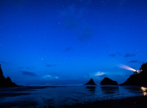
Explore Heceta Head Lighthouse State Scenic Viewpoint
5.01 mi / 150 ft gainAt the mouth of Cape Creek sits a beautiful cove with one of the best views in Oregon. Above the sandy beach and sea stacks, rises the Heceta Head Lighthouse, a 100-year-old+ structure that's been laboriously restored and kept in working condition. At night, this quiet piece of the Oregon coast g...Read more -
Yachats, Oregon
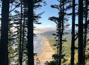
Heceta Head Lighthouse to Hobbit Beach
5.03.76 mi / 1040 ft gainHeceta Head Lighthouse to Hobbit Beach is an out-and-back trail that provides a good opportunity to view wildlife located near Florence, Oregon.Read more -
Yachats, Oregon
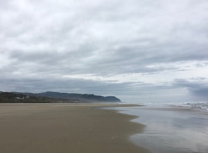
Camp at Tillicum Beach
5.0The major draw of this campground however is the beach. Many of the campsites overlook the water, but if you don’t have a view from your site it takes less than a minute to be in the sand. We made our trip from the University of Oregon in Eugene. It was a gorgeous 2 hour drive, and after driving ...Read more -
Corvallis, Oregon
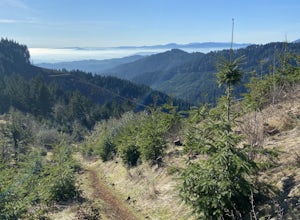
McCulloch Peak Loop
5.07.17 mi / 1719 ft gainMcCulloch Peak Loop is a loop trail where you may see local wildlife located near Corvallis, Oregon.Read more -
Corvallis, Oregon
Baker Creek Loop
9.42 mi / 1936 ft gainBaker Creek Loop is a loop trail that takes you by a river located near Adair Village, Oregon.Read more -
Corvallis, Oregon
Dimple Hill Via Patterson Road 600
4.86 mi / 715 ft gainDimple Hill Via Patterson Road 600 is a loop trail where you may see local wildlife located near Corvallis, Oregon.Read more -
Corvallis, Oregon
Vineyard Mountain Loop
3.36 mi / 505 ft gainVineyard Mountain Loop is a loop trail located near Corvallis, Oregon.Read more -
Corvallis, Oregon
Lewisburg Saddle Upper Horse Trail Loop
4.53.17 mi / 630 ft gainLewisburg Saddle Upper Horse Trail Loop is a loop trail in McDonald-Dunn Forest located near Adair Village, Oregon. The trail is dog, horse, and Mountain Bike friendly. If bringing your pup, please be sure to keep in on-leash with horses and other wildlife potentially on the trail. The loop sin...Read more -
Sweet Home, Oregon
Horse Rock Ridge Research Natural Area
5.03.74 mi / 951 ft gainHorse Rock Ridge Research Natural Area in Sweet Home, Oregon, offers a unique hiking trail that spans approximately 3.74 miles. The trail is moderately difficult, with an elevation gain of 951 feet, making it suitable for intermediate hikers. The trail begins in a dense forest of Douglas fir and ...Read more -
Corvallis, Oregon
420, 300, and 400 Trails Loop
4.06.64 mi / 1043 ft gain420, 300, and 400 Trails Loop is a loop trail that takes you through a nice forest located near Corvallis, Oregon.Read more -
Newport, Oregon
Surf Agate Beach
4.0Agate beach is a beach break in Newport Oregon. Bring your booties and gloves because the water temperature up there is very cold. The wave is a fun rippable wave with both lefts and rights. There is a rip that you can use to get out into the lineup right next to the headland. Note: During winte...Read more -
Newport, Oregon
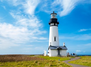
Explore the Yaquina Head Lighthouse
4.6The Yaquina Head Natural Area is home to the historic 93 ft tall Yaquina Head lighthouse, built in 1872. The construction of the lighthouse from approximately 370,000 bricks took nearly a year, and the lighthouse has been active ever since.The park is open daily, from 7am until sunset; however, i...Read more -
Newport, Oregon
Surf Moolack Beach
5.0This beach break in Newport Oregon, is very fickle and doesn’t break cleanly very often. It's a wide open beach break, so it is usually exposed to too much swell. However, when the waves do line up, it's a fun beach break with several different peaks to choose from. It offers both lefts and right...Read more -
Lebanon, Oregon
Hike McDowell Creek County Park
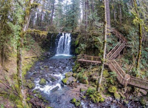
4.9GPS coordinates Lat: 44.46389 Long: -122.68278Exit off I-5 in Albany onto Highway 20 and proceed for approximately 20 miles to McDowell Creek Road and turn left, follow McDowell Creek Road - watching for signs for the park - for about 6 ½ miles, to the first of three parking areas within the park...Read more -
Otter Rock, Oregon
Surf Otter Rock
5.0Otter rock is the most popular surf spot for beginners in the state of Oregon. Located by Devils Punch Bowl, Otter rock offers playful waves that are great for beginners to learn how to surf. It's often called the Waikiki of Oregon. Even though it is a predominately beginner surf spot, the waves ...Read more -
Otter Rock, Oregon
Explore the Devils Punchbowl Arch
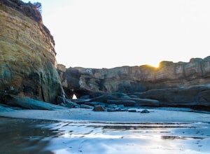
4.6Devils Punchbowl State Park is located just off of Highway 101. Finding the access path to the beach can be tricky since you need to be on the North side of the Punchbowl, but look for a path heading through the trees on C Avenue just north of 3rd. Once you get down to the beach head left.You may...Read more

