Tuckasegee, North Carolina
Looking for the best hiking in Tuckasegee? We've got you covered with the top trails, trips, hiking, backpacking, camping and more around Tuckasegee. The detailed guides, photos, and reviews are all submitted by the Outbound community.
Top Hiking Spots in and near Tuckasegee
-
Gatlinburg, Tennessee
Gatlinburg Trail
5.03.8 mi / 351 ft gainGatlinburg Trail is an out-and-back trail that takes you by a waterfall located near Gatlinburg, Tennessee.Read more -
Del Rio, Tennessee
Max Patch Mountain
5.01.51 mi / 315 ft gainMax Patch Mountain was once cleared for pasture land, leaving an expansive flat summit that now serves as the ideal location for a picnic hike, flying a kite, or laying in the sun surrounded by the Great Smoky Mountains. With little elevation gain and a short distance it is also very family (and ...Read more -
Sevierville, Tennessee
Laurel Falls Trail
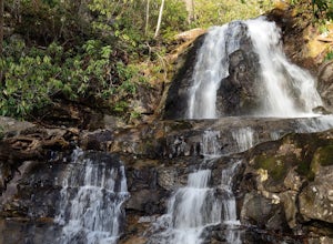
4.32.45 mi / 314 ft gainThis straightforward, yet scenic hike follows a paved trail to the falls, which is among the most popular in the park. This trail can be especially crowded during the summer, so be sure to arrive early. Keep an eye out for a few steep drop-offs on either side of the trail along the way. There ha...Read more -
Upper Tremont Road, Tennessee
Hike to Indian Flat Falls via Middle Prong Trail
4.57.21 mi / 1140 ft gainOne of the best trails in the Smokies is the Middle Prong Trail. The trail passes three major waterfalls, in addition to numerous smaller falls, cataracts and cascades. Once you've parked, you'll start at the trail head and immediately see your first cascade. From the trailhead hikers will cro...Read more -
Long Creek, South Carolina
Hike to the Brasstown Falls
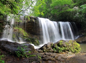
4.50.5 miThese waterfalls are absolutely beautiful during the summer greenery and fall foliage, but open to access year around.Driving Directions: From Westminister, follow US 76 West for 11.8 miles and turn left onto Brasstown Road. Follow this road 4.1 miles to FS 751. (The pavement ends in 2.6 miles.) ...Read more -
Tallulah Falls, Georgia
Camp at Tallulah Gorge State Park
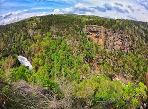
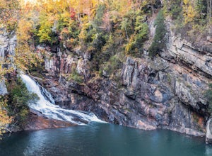
4.7Tallulah Gorge is a must-see feature of Georgia. Campers can lay low and experience the gorge from its floor, engaging in river activities such as kayaking or swimming. Those seeking a thrill can hike the rim trails of the gorge, and even cross an 80' high suspension bridge. (Hikers who may be fe...Read more -
Tallulah Falls, Georgia
Hike to Hurricane Falls, Tallulah Gorge SP
4.41.85 mi / 564 ft gainThe trail is located in Tallulah Gorge State Park which is about 1 ½ hours northeast of Atlanta, off of Highway 441. There is a $5 per car entry fee into the park and they prefer the use of cash. From there, follow the signs to the Jane Hurt Yarn Interpretive Center, where there is parking and pl...Read more -
Del Rio, Tennessee
Max Patch to Hot Springs, N.C. via Appalachian Trail
3.014.06 mi / 2966 ft gainMake a weekend trip from Max Patch to Hot Springs N.C., and be sure to soak in the natural hot springs at the old inn after your hike! This is an incredible, relatively easy hike with the reward at the end being hot springs on the French Broad River. You can break this up however you like, this i...Read more -
Fontana Dam, North Carolina
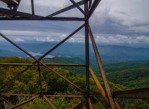
Shuckstack Fire Tower
5.08.84 mi / 2605 ft gainYour Shuckstack adventure starts at the Fontana Dam outside of Bryson City, NC. As the highest dam East of the Rocky Mountains, it's a sight on its own. This will be your last chance to fill up water bottles and use the restroom so take advantage. You can leave on foot from the dam and continue ...Read more -
Townsend, Tennessee
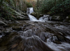
Spruce Flats Falls
4.81.64 mi / 495 ft gainTo get to Spruce Flats Falls, you will want to drive down 2.2 miles down the scenic Tremont Road to the Great Smoky Mountains Institute and park in the visitor center parking area. You will then want to ascend up the gravel road past the sign that says restricted to unrestricted traffic (meaning ...Read more -
Gatlinburg, Tennessee
Hike to Upper Meigs Falls
5.03.55 mi / 1000 ft gainParking available off of Little River Gorge Road (State Hwy. 73) at The Sinks/Meigs Creek Trailhead. The trail starts with winding elevation gain until it crests around 1 mile into the hike (notice pine trees at higher elevation). After the crest it starts descending towards Meigs Creek. While f...Read more -
Newport, Tennessee
Explore Halls Top Fire Tower
4.01 mi / 200 ft gainHalls Top Fire Tower is a special untouched spot in the Cherokee National Forest. The road that leads you into the CNF is known as Halls Top Road just a few miles off of Interstate I-40. This road will take you 4.4 miles to the next turn onto Stone Mountain Road this road is 2.1 miles to the gat...Read more -
Lakemont, Georgia
Minnehaha Falls
4.20.39 mi / 98 ft gainDespite their beauty, not many hikers know about Minnehaha Falls. Even more shocking, these are some of the most accessible falls in all of North Georgia. Round trip, the hike to the falls will only take about a half a mile. Hikers can park along the side of the road at the trailhead. Follow the ...Read more -
Easley, South Carolina
Doodle Trail
5.07.64 mi / 358 ft gainDoodle Trail is a point-to-point trail that takes you through a nice forest located near Easley, South Carolina.Read more -
Clarkesville, Georgia
Panther Creek Falls
3.77.27 mi / 659 ft gainPark at the Panther Creek Recreation Area. The fee to park here is $4. There is extra parking alongside the road if the parking lot is full. The trail begins opposite the parking area, noted by a wooden sign. The trail gains elevation here and there with several drop-offs secured by cable cord f...Read more -
Townsend, Tennessee
Backpack to Spence Field
13.8 mi / 3100 ft gainStart your hike at Anthony Creek Trailhead (elevation 1,800 ft), in the Cade’s Cove area. The trailhead is located at the far end of the day-use picnic area near Cade’s Cove campground. There are a few parking spots right at the trailhead, but note that the picnic area closes at dusk (a gate clos...Read more

