Cherokee, North Carolina
Cherokee, North Carolina offers some of the best outdoor activities and attractions in the area. Explore the top trails and outdoor adventures in the area, such as the Great Smoky Mountains National Park, Tsali Recreation Area, Nantahala National Forest, and Oconaluftee Indian Village. Visit the scenic Blue Ridge Parkway and Great Smoky Mountains Railroad for magnificent views and unique experiences. For a must-visit place, check out the Oconaluftee Islands Park for an intimate and calming day. With plenty of outdoor activities and attractions, Cherokee, North Carolina is the ideal destination for those seeking an outdoor adventure.
Top Spots in and near Cherokee
-
Townsend, Tennessee
Backpack to Spence Field
13.8 mi / 3100 ft gainStart your hike at Anthony Creek Trailhead (elevation 1,800 ft), in the Cade’s Cove area. The trailhead is located at the far end of the day-use picnic area near Cade’s Cove campground. There are a few parking spots right at the trailhead, but note that the picnic area closes at dusk (a gate clos...Read more -
35.604955,-83.770373
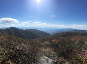
Hike to Rocky Top
5.012.8 mi / 3500 ft gainRocky Top is known to be the spot that inspired the famous fight song of the University of Tennessee, which is also an official song for the state of Tennessee. The trailhead for this hike begins in the Cade’s Cove picnic area parking lot towards the back side. There are a few parking spots ri...Read more -
Clyde, North Carolina
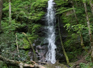
Hike to Little Fall Branch falls
0.3 mi / 300 ft gainThe trailhead to this hike is easy to find but the gps is hard to match so it might try to take you through the middle of the trees but its easy to follow the road. The best way to get here is to go off of I-40 at the Harmon Den exit and then go up the road towards Max Patch. To get to the trailh...Read more -
Fontana Dam, North Carolina
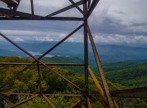
Shuckstack Fire Tower
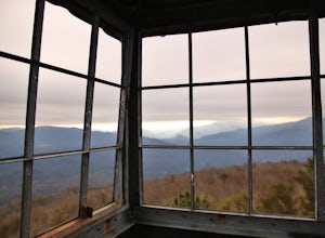
5.08.84 mi / 2605 ft gainYour Shuckstack adventure starts at the Fontana Dam outside of Bryson City, NC. As the highest dam East of the Rocky Mountains, it's a sight on its own. This will be your last chance to fill up water bottles and use the restroom so take advantage. You can leave on foot from the dam and continue ...Read more -
Franklin, North Carolina
Nantahala National Forest via the Appalachian Trail
4.027.11 mi / 5420 ft gainWinding Stair Gap on Highway 64 is the starting point for this spectacular backpacking trip through the Nantahala National Forest. It's right outside the hiker friendly town of Franklin, NC, so the town is your last chance for a hot meal and any last minute supplies. There is a parking lot at the...Read more -
Balsam Grove, North Carolina
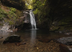
Hike to Courthouse Falls
4.70.07 mi / 40 ft gainFirst off, I want to say although the road is gravel it is accessible for 2WD cars you do not need a 4WD car to access this hike. The trail begins just over the bridge that crosses Panther Branch Creek. Just over the bridge there is a pullout where you can park that should fit at least 3 cars. Th...Read more -
Highlands, North Carolina
Photograph and Explore Bridal Veil Falls
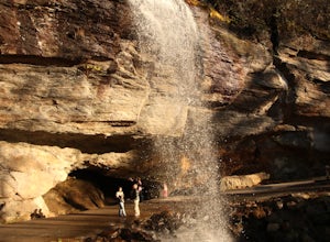
Bridal Veil Falls is located directly off of the road and is about a 100 feet tall in total. The falls makes for a great place to take pictures under the water falls. The falls itself is small and flows constant all year long getting to the bottom of the falls is not recommended because it is dan...Read more -
Lake Toxaway, North Carolina
Hike to Schoolhouse Falls and Little Green
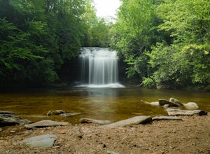
5.03 miTrail signs in Panthertown Valley are limited. Be sure to bring a map! Starting at the Cold Mountain parking lot, hike to Schoolhouse Falls. This is a nice waterfall with a pool at the bottom. In the summer, you are bound to run into other fellow hikers here. From Schoolhouse Falls, you have the...Read more -
Lake Toxaway, North Carolina
Hike to Warden, Jawbone, and Riding Ford Falls
4.5 miWarden, Jawbone, and Riding Ford Falls are three waterfalls located along the headwaters of the Tuckasegee River in Panthertown Valley. Not far from the Cold Mountain trailhead, these falls are quite popular in the summer. On a weekend, you will often find people playing in the pools below the fa...Read more -
Highlands, North Carolina
Explore Dry Falls, North Carolina
4.60.42 mi / 95 ft gainDry Falls is located off of Hwy. 64, which has been designated as the Mountain Waters Scenic Byway, and the road does not disappoint. Hwy. 64 is a two lane road which hugs the northern side of Cullasaja Gorge, which has been carved by the Cullasaja River. Besides Dry Falls, Hwy. 64 leads you past...Read more -
Canton, North Carolina
Graveyard Fields-Black Balsam Knob Circuit
4.49.83 mi / 1522 ft gainWhen the weather is in your favor, these treeless mountain tops will have your jaw on the floor with layers upon layers of Blue Ridge Mountains. This hike can be done in one day, but with panoramic views at multiple points, you'll want to take your time along this link of trails. This ~10-mile l...Read more -
Canton, North Carolina
Explore Lower Falls at Graveyard Fields
4.3Graveyard Fields got it's name years ago from wind-thrown tree trunks that gave the appearance of a graveyard, until 1925 when an intense fire swept through the area, destroying the stumps. The forest has been recovering ever since.The parking area for Graveyard Fields is located at milepost 418....Read more -
Newport, Tennessee
Explore Halls Top Fire Tower
4.01 mi / 200 ft gainHalls Top Fire Tower is a special untouched spot in the Cherokee National Forest. The road that leads you into the CNF is known as Halls Top Road just a few miles off of Interstate I-40. This road will take you 4.4 miles to the next turn onto Stone Mountain Road this road is 2.1 miles to the gat...Read more -
Lake Toxaway, North Carolina
Hike to Raven Rock Falls
0.5 miIf you want to see a great waterfall without hiking all day, this is the perfect trail for you. Getting there - The trailhead is about 2 miles from the intersection of Cold Mountain and Panther Ridge Road (exact coordinates: 35.1594, -82.9801). There is a small grassy pull out where you can park...Read more -
Highlands, North Carolina
Hike the Whiteside Mountain Loop
5.02 mi / 595 ft gainWhiteside Mountain is simply breathtaking, there is no way around it. Views of the mountain from the South expose its sheer granite face, which runs almost its entire length East-to-West. However, the views of the mountain are just the beginning, as this hike climbs to higher heights than just ...Read more -
Cashiers, North Carolina
Hike to Chimney Top
3.31.7 mi / 1000 ft gainUpon entering High Hampton Inn, follow the entrance road past the registration building, cart shed and parking lot. Take a right down a gravel road that follows alongside Hampton Lake. This gravel road continues for half a mile, even winding through part of the golf course and crossing over the c...Read more


