Wilmington, New York
Top Spots in and near Wilmington
-
Long Lake, New York
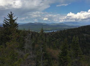
Hike to Owls Head Mountain Fire Tower in Sargent Ponds Wild Forest
5.06.2 mi / 1500 ft gainOwls Head Mountain is an Adirondack Fire Tower Mountain with an elevation of 2,812 feet. It is located in Long Lake in the Sargent Ponds Wild Forest and is a 6.2 mile out and back round trip hike. The trail head is located on Endion Ln, 2 miles north of the hamlet of Long Lake heading towards Tup...Read more -
Huntington, Vermont
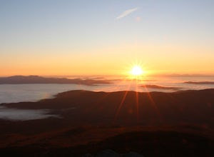
Camel's Hump Summit via the Burrows Trail
4.04.4 mi / 2228 ft gainThis adventure takes you up the Burrows Trail from the Huntington side of Camel's Hump. There are multiple trails to the summit, but this trail is the shortest. It is 2.4 miles to the summit with 2300' elevation gain. The trailhead is accessed from the aptly named Camel's Hump Road out of Huntin...Read more -
Indian Lake, New York
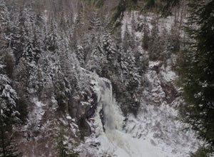
Hike to OK Slip Falls
5.06.4 miStarting at the parking area you will walk 0.2 miles west on Route 28 to the north side of the road to locate the marked trailhead. After signing the trail register you will follow the the red marked trail approximately 0.5 miles to the first junction. At the junction you will branch right and f...Read more -
Long Lake, New York
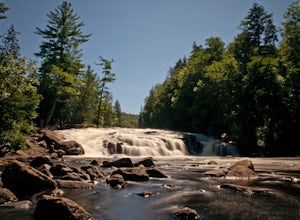
Buttermilk Falls
0.17 mi / 36 ft gainButtermilk Falls is an out-and-back trail that takes you by a waterfall located near Long Lake, New York.Read more -
Duxbury, Vermont
Camel's Hump Summit via Monroe Trail
4.86.22 mi / 2572 ft gainYou'll begin your Monroe Trail hike at approximately 1500', parking in one of three designated gravel lots along Camel's Hump Road in Duxbury. This trail is 6.8 miles round trip, and gains approximately 2583' in elevation. It is located on the east side of the mountain. Much of your hike will ...Read more -
North Creek, New York
Hike Gore Mountain
5.010 mi / 3040 ft gainYou will start this hike following the blue blazed Schaefer trail. Though the sign shows 5.8 miles to the summit it is actually only 5.0 miles. Much of the way you follow Roaring Brook which has many waterfalls along the way. Just after the North Creek Reservoir you will get your first glance at...Read more -
Salisbury, Vermont
Camp at Lake Dunmore
The campground office for Branbury state park is on the opposite side of Route 53 from the pin on the map here, but the best campsites are where the pin is. Start by going and talking to the rangers at the office, they are super friendly and very helpful for recommendations of hikes or things to...Read more

