Jefferson, New Jersey
Top Spots in and near Jefferson
-
Cornwall-on-Hudson, New York
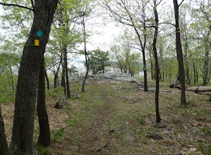
Hike the Stillman - Bluebird Loop
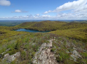
5.4 mi / 1200 ft gainThis loop hike starts at the northern trailhead of the park where the Stillman Trail begins. The parking area has enough space for only 6 or 7 cars. Start off on a wide maintained carriage road. After about a half mile, the Stillman Trail (yellow markers) breaks of to the left. However, stay ...Read more -
Queens, New York
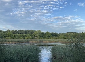
Ridgewood Reservoir
2.23 mi / 194 ft gainRidgewood Reservoir is a loop trail that takes you by a lake located near New York City, New York.Read more -
Nazareth, Pennsylvania
Hike the Henry's Woods Loop in Jacobsburg State Park
5.01.9 mi / 200 ft gainOnly a short drive from the major Pennsylvania cities of Allentown, Bethlehem, and Easton lies Jacobsburg State Park and environmental center. The main feature of the park is most certainly the Henry's Woods loop. Although just under two miles, this trail encompasses a variety of terrain and ol...Read more -
Greentown, Pennsylvania
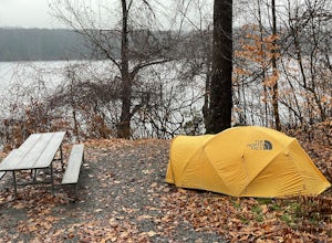
Camp at Pickerel Point Campground
Pickerel Point Campground rests on a peninsula of the Promised Land Lake, where miles and miles of forest are punctuated by this beautiful body of water. Open sky, fresh mountain air, and the wind whispering through the maples and oaks makes for a truly enchanting place. Campers can engage all ki...Read more -
Matawan, New Jersey
Cheesequake Yellow and Blue Loop Trail
4.03.43 mi / 328 ft gainCheesequake Yellow and Blue Loop Trail is a loop trail that takes you by a lake located near Old Bridge, New Jersey.Read more -
Hopewell, New Jersey
Hike through the Sourland Mountain Preserve
5.02.91 miThe Sourland Mountain Preserve stretches from Hunterdon County all the way into Somerset County. The trails referenced here are on the southwest side of the preserve in Hunterdon County. They are accessible from an on site parking lot at 233 Rileyville Road in Ringoes NJ.There are several trails ...Read more -
Cold Spring, New York
Mt. Taurus (Bull Hill)
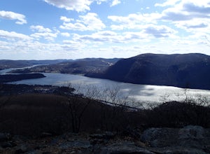
4.53.52 mi / 1375 ft gainMt. Taurus (or Bull Hill) is a short, family and dog friendly, hike just outside the town of Cold Spring, easily accessible by car or taking the train into town. It snakes along the edge of an old quarry that is just now being retaken by nature and provides lookouts towards the Hudson, other near...Read more -
Cold Spring, New York
Hike the Cornish/Brook/Notch/Washburn/Undercliff Loop
8 mi / 1500 ft gainThis loop is a great option to avoid crowds on the west side of the Washburn trail. Start at the same trailhead for the Washburn Trail. The Cornish Trail is on the left and there is an obvious sign at the trail split a few feet from the parking area. The Cornish Trail is an old road from about...Read more -
Cold Spring, New York
Hike the Washburn/Nelsonville/Undercliff Loop
7.2 mi / 2000 ft gainThis is a difficult loop hike that has several different starting points. I chose to start at the Washburn Trail Head, which is the lowest starting point you can select. Nearly on the Hudson River, the trail ascends immediately along a well maintained road designated by white disc markers. Aft...Read more -
Cold Spring, New York
Kayak the Hudson River in Cold Spring
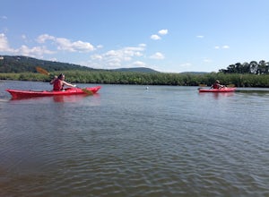
North of New York City by 90 minutes lies the town of Cold Spring in the Hudson Valley. Cold Spring has a hometown quality with a Main Street, a firehouse, and art galleries of local artists. Despite its proximity to NYC, locals maintain a slower pace and enjoy many outdoor activities. Just a sho...Read more -
Cold Spring, New York
Photograph Indian Brook Falls
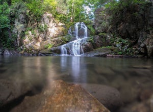
2.8This is about as short a walk and as little effort as you can put in for a beautiful waterfall. You can barely call it a hike, but I'll list it as such since you do walk through the woods for 5 minutes. The trail is extremely well built, and is pretty easily accessible through the winter.The trai...Read more -
Cold Spring, New York
Sugarloaf Mountain and Breakneck Ridge Loop
4.74.33 mi / 1562 ft gainThe Breakneck Ridge to Sugar Loaf Loop gives rise to various bypasses that offer hikers moderate to advanced terrain and multiple rock scrambles. The loop entails a total elevation gain of 1,670 feet and a total distance of 5.5 miles. The start of the trail begins at the (white blazes) at the no...Read more -
Cold Spring, New York
Breakneck Ridge Loop
5.05.91 mi / 1526 ft gainThis short but steep loop hike in Hudson Highlands State Park offers multiple panoramic views of the Hudson River along the way. Please note that only experienced hikers should attempt this route – although the hike seems short, the elevation gain and steep rocky scrambles offer serious technical...Read more -
Beacon, New York
Sunset Point - South Beacon Mountain Loop
4.08.92 mi / 2470 ft gainThis loop hike form the Notch Trail northern trailhead on Route 9D. There is enough parking at this trailhead for about 5-6 cars. The Notch Trail is identified with blue trail markers. It is well maintained and plenty of markers to guide your way. This is important because there are m...Read more -
Beacon, New York
Sugarloaf Mountain via Wilkinson Memorial Trail
5.02.15 mi / 820 ft gainTrail is currently closed. Get updates at parks.ny.gov. Sugarloaf Mountain is part of the Hudson Highlands State Park, along with Breakneck Ridge, Bull Hill, and Mt Beacon. Though the views are just as impressive as its sister trails, it is never as crowded and it's one of my favorite spots in ...Read more -
Rye, New York
Hike the Marshlands Conservancy Loop
4.01.55 mi / 125 ft gainLocated along the Long Island Sound, this 147-acre conservancy is home to a plethora of different birds, including marsh wrens, seaside sparrows, and American woodcocks. The conservancy has 3 miles of trails, all easy to navigate. Starting out from the visitor's center, take the trail to the rig...Read more

