Stateline, Nevada
Top Spots in and near Stateline
-
Alpine County, California
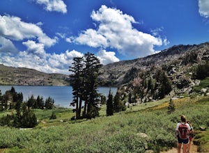
Hike to Round Top Peak
5.09 mi / 1821 ft gainThis hike begins at Carson Pass which is accessible from Highway 88. The trail leaves from the parking lot (parking requires a fee of $5) and is easy to follow. After about a mile, you'll pass Frog Lake on the left, which is a nice place to stop for a quick snack.Continue along the trail and stay...Read more -
Markleeville, California
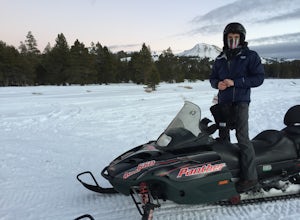
Snowmobile at Hope Valley Sno-Park
Book a snowmobile trip through a local adventure center (we love Lake Tahoe Adventures) or bring your own gear. Don't forget to grab permits ahead of time if you come on your own (more info here.) Drive (from anywhere) to Highway 88 and the snow park entrance is on the south side of the highway. ...Read more -
Tahoe City, California
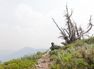
Hike the Ellis Peak Trail
5.06.3 mi / 1660 ft gainThe Ellis Peak Trail is close to North Lake Tahoe. The trail features scenic wildflowers in the spring and summer. Dogs are allowed on the trail but must be kept on leash. Directions from Truckee: Take Highway 80 south and drive to Tahoe City - continue south on Highway 89 from Tahoe City for 4....Read more -
Kyburz, California
Backpack Desolation's Primitive Western Edge through Rockbound Pass
4.426.28 mi / 5151 ft gainThis 26 mile loop meanders through some of the most primitive trails in Desolation Wilderness. Starting from Wrights Lake, the route proceeds over Rockbound Pass, loops around several lakes, and returns to Wrights Lake. Not many hikers venture past the steep and rocky Rockbound Pass to enter this...Read more -
Kyburz, California
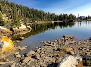
Gertrude Lake Trail
8.28 mi / 1362 ft gainGertrude Lake Trail is an out-and-back trail that takes you by a lake located near Kyburz, California.Read more -
Tahoe City, California
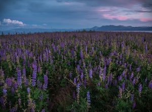
Photograph the Lupine at Lake Forest Beach
A quick walk through Lake Forest Beach in Tahoe City, California provides unparalleled opportunities to photograph expansive fields of lupine. These brilliant purple wildflowers cover the lowland shore of this public beach each summer, typically starting in mid-July through mid-August. In drought...Read more -
Markleeville, California
Caples Lake to Emigrant Lake
5.08.71 mi / 971 ft gainThis is an awesome out-and-back hike for the weekend warrior. The trail begins at the western-most point of Caples Lake, and takes you to Emigrant Lake. The first 2/3 of the trail is rather flat and appropriate for all skill levels. The last mile up to the lake schleps up the hill, and has some ...Read more -
Alpine County, California
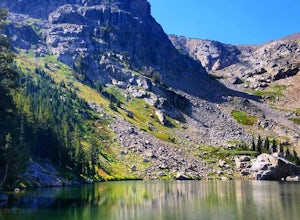
Hike Round Top Summit and Winnemucca Lake Loop
6.6 mi / 1272 ft gainThis hike begins near the Woods Lake campground. Start off by hiking towards Winnemucca Lake. You will begin your journey going through the forest beside a crystal-clear stream. Soon the trail opens up to become more open, full of all colours of wild flowers. You follow this breathtaking trail up...Read more -
Alpine County, California
Hike The Sisters in the Mokelumnee Wilderness
8 mi / 2500 ft gainThe Sisters offer a great day hike with fun scrambling and beautiful views of the Northern Sierra, Lake Tahoe, the Mokelumnee Wilderness, and the Carson River Canyon.The trail to The Sisters begins at Woods Lake (38.6855° N, 120.0095° W), at the end of Woods Lake Road off Highway 88, 1.5 miles we...Read more -
Tahoe City, California
Paddle Commons Beach
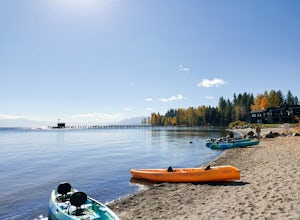
5.0Commons Beach is a small beach and park on the northwest side of the lake. It is located very close to the CA-89 exit, so is ideal for road trip stops. There is a park for kids, and a grassy area near the beach. The beach itself is on the smaller side, but is relatively uncrowded. This area of th...Read more -
Incline Village, Nevada
Monkey Rock
4.72.64 mi / 463 ft gainMonkey Rock is an out-and-back trail that takes you by a lake located near Incline Village-Crystal Bay, Nevada.Read more -
Incline Village, Nevada
Bike or Take a Stroll along the Tahoe East Shore Trail
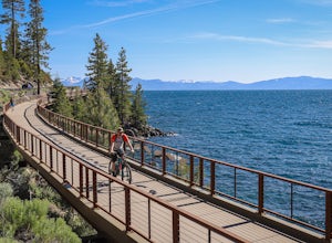
5.02.75 mi / 300 ft gainLake Tahoe's East Shore Trail is a wide paved walking and cycling path running between Incline Village and Sand Harbor State Park. Opened in 2019, the path lies completely separate from the road, sometimes hovering well above it on the mountainside, and other times running parallel to it on a bri...Read more -
Carson City, Nevada
Goni Canyon Preservation League Walking Trail
3.01 mi / 95 ft gainGoni Canyon Preservation League Walking Trail is a loop trail where you may see beautiful wildflowers located near Carson City, Nevada.Read more -
Tahoe City, California
Purple Trail and Burton Creek Loop
3.76 mi / 492 ft gainBurton Creek State Park is a moderate hike. It is a secluded peaceful hike that offers amazing views of the lake. This is a popular spot for mountain bikers, but is also ideal for hiking. Much of the trail is through the forest and there are many maps and signs pointing out the trails. The hike ...Read more -
Amador County, California
Hike to Thunder Mountain at Carson Pass
7 miThe trailhead begins on Rt 88 just past Kirkwood Resort or Silver Lake - depending on which way you are headed. There is plenty of parking but no other amenities. The trail begins at 7,900 ft and climbs steadily up Two Sentinels then along the ridge to Martins Point, ending at the 9,408ft summit ...Read more -
Incline Village, Nevada
Walk to the Historic Stateline Fire Lookout site
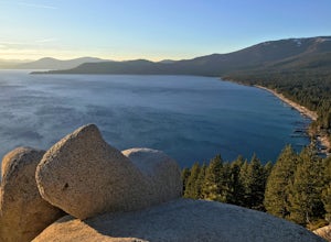
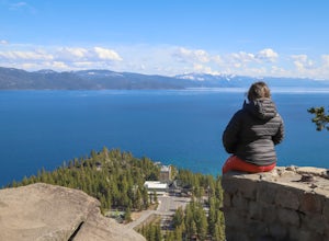
5.01.8 mi / 340 ft gainThe hike up to the Historic Stateline Fire Lookout above Lake Tahoe's Crystal Bay area is somewhat of a misnomer, as the fire lookout no longer exists. Instead, the path, which follows a paved forest road, up to the site where the tower once stood will bring hikers to a panoramic viewpoint that l...Read more

