Top Spots in and near Flathead National Forest
-
Glacier County, Montana
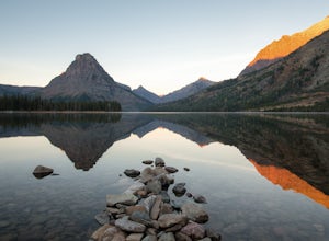
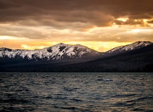
I did this trip during the end of autumn, and was pretty much the only person on the entire lake. With it being so serene and so quiet, I had the perfect nature getaway. I made sure to watch an epic sunrise on Two Medicine Lake, then spend the day taking my time to the upper lake and back, with a...
Read more
-
Flathead County, Montana
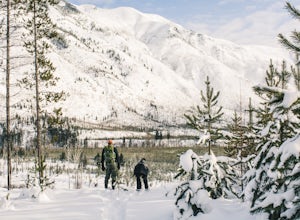
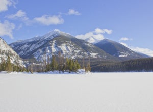
Starting in Columbia Falls, MT, which is 17 miles from Kalispell, MT, locate North Fork Road off of Railroad Street. Follow North Fork Road about 17 miles. While along the Flathead River, there are many Forest Service roads that are accessible to snowshoe along. There are roads that lead to the F...
Read more
-
Glacier County, Montana
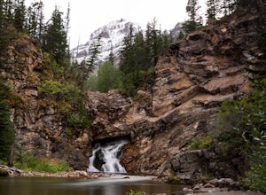
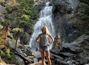
Running Eagle Falls is located just 1.1 miles west from the Two Medicine entrance in Glacier National Park.
The trailhead parking lot is just off the main road going to the lake– it is essentially impossible to miss. It mimics parking spots on the side of a city street.
This hike is handicap ac...
Read more
-
West Glacier, Montana
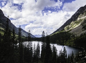
It's a 1600 ft slow increase in elevation. You can walk around the loose rocks going around the lake for an additional 2 miles of hiking.
There is a back-country campground at the base of the glacier-fed lake and an amazing waterfall at the opposite end of the of the campground.
To camp overnig...
Read more
-
West Glacier, Montana
Ten miles long and nearly 500 feet deep, Lake McDonald, the largest lake in Glacial National Park. Sprague Creek is a small 25-site campground on the northeast shore of the lake, about 9 miles from the west entrance of the park. Campsites are on a first-come, first-serve basis and fill up early....
Read more
-
Condon, Montana
When you turn on Holland Lake Lodge road, follow the signs towards the lodge. You will notice a sign that directs to a day use area, which is an option, but I prefer to continue to the very end of the dead end road. There is parking and a vault toilet at the dead end along with a trailhead sign...
Read more
-
Condon, Montana
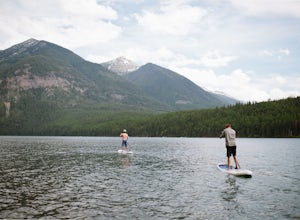
Drive on 83 through the swan until you reach the turnoff for Holland Lake. The lake, campground, ranger station, and trails are all very well marked throughout this adventure. 4WD is suggested for getting to the parking lot for Holland Lake, as some of the roads may not be plowed, and there may b...
Read more
-
Condon, Montana
5.0
3.05 mi
/ 561 ft gain
Holland Lake and Falls is an out-and-back trail that takes you by a lake located near Condon, Montana.
Read more
-
Whitefish, Montana
5.0
7.6 mi
/ 2250 ft gain
The Danny On Trail starts from the base area of Whitefish Mountain Ski Resort and zig zags its way up to the summit. The trailhead is near the Chalet building/Hellroaring Saloon upper parking lot (there's a big sign). The trail passes through Douglas fir, western larch, spruce and fir trees. The ...
Read more
-
West Glacier, Montana
The trail is accessible (though sometimes covered in snow) year-round because the trailhead lies in the lower elevation area of the park. It begins at the Sperry Trailhead, located directly across the street from the lake McDonald Lodge. Follow the Sperry Trail for 1.6 miles until you reach the M...
Read more
-
West Glacier, Montana
The hike begins along the Inner North Fork road across from a small parking area. The trail meanders up a slight incline most of the way through areas of a recent fire, as well as some areas with spectacular wildflowers when it gets a bit more lush. Around 1.7 miles in you will go up a relatively...
Read more
-
West Glacier, Montana
5.0
50.65 mi
/ 5036 ft gain
Every Spring (May - June) Going-to-the-Sun road remains closed to cars long after the snow has been plowed and melted. However, just past the Lake McDonald Lodge a sign declares the road open to Hikers and Bikers, providing one of Montana's best adventures.
Follow Going-to-the-Sun Road in from ...
Read more
-
Flathead County, Montana
Driving north from Columbia Falls, MT for 20 miles, park after the junction of the Camas Road and the North Fork Road. This parking area is directly after the junction on the east side of the road and the trail begins on the west side of the road.The beginning of the trail is started with many sw...
Read more
-
Seeley Lake, Montana
An hour drive north of the town of Seeley Lake Montana is the Glacier Lake Trailhead and the starting point for your hike. Glacier Lake Trailhead is a popular trailhead, and the parking lot can fill up quickly on hot summer weekends since it provides access to trails which lead to three different...
Read more
-
Glacier County, Montana
A couple of notes to keep in mind before you start... this is a loop that takes you to a different part of the park so you will either need two vehicles (one for the pickup spot and one to take you to the trailhead) or you will need to hitchhike back to you drop off vehicle. Also you will need to...
Read more
-
West Glacier, Montana
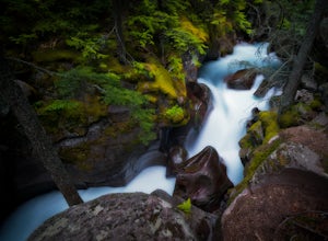
Avalanche Creek is one of Glacier National Park's easiest features to access and also one of its most unique. The old-growth cedar forest is home to towering trees, moss-covered boulders, and a rushing stream of glacial water. A small loop trail winds through the lower forest and leads to a bri...
Read more

