Limington, Maine
Top Spots in and near Limington
-
North Conway, New Hampshire
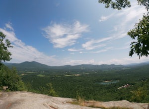
Hike White Horse Trail
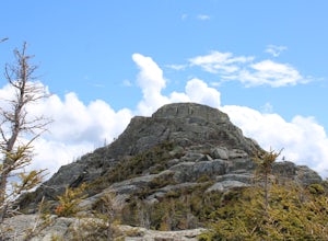
4.75 mi / 1043 ft gainConsider this moderate hike a warm-up to some of the bigger boys in the area! We've hiked Cathedral Ledge from Echo Lake State Park in the past, but wanted something a little longer in distance & slighting more challenging. When I asked the guy manning the State Park booth for a map he said, ...Read more -
Freeport, Maine
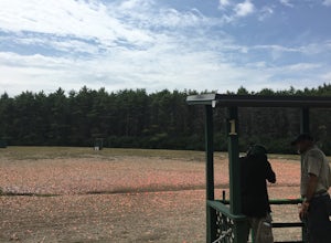
Sport Clays in Freeport
Try shooting a gun with L.L. Bean's Discovery Sporting Clay course. You can book courses in the morning or afternoon and will meet at a specified location (the range) where you will meet with the guide and other participants. You will be introduced to the sport of shooting a gun at artificial tar...Read more -
Conway, New Hampshire
Cathedral Ledge via Bryce Path Trail
2.07 mi / 574 ft gainCathedral Ledge via Bryce Path Trail is an out-and-back trail that takes you by a waterfall located near Bartlett, New Hampshire.Read more -
Bartlett, New Hampshire
Hike Cathedral Ledge
4.03.4 mi / 722 ft gainDuring spring, summer and fall there is a road that allows you to drive to the top of Cathedral Ledge. In winter the road is closed off to vehicles so reaching the top requires a 1.7 mile hike. Once at the top, there is a fenced in lookout with a 180 degree view of North Conway and the surroundin...Read more -
Conway, New Hampshire
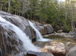
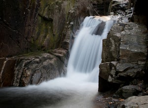
Diana's Baths
5.01.33 mi / 190 ft gainDiana's Baths is an out-and-back trail that takes you by a waterfall located near North Conway, New Hampshire.Read more -
Albany, New Hampshire
Rocky Gorge Scenic Area Loop
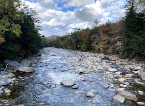
2 mi / 266 ft gainA beautiful area of the Kancamagus Highway, the Rocky Gorge section is home to rushing rapids and scenic lakes. When visiting in the fall the colors are amazing however be ready for traffic and more crowds. This location has a parking lot and walking trails along the river to multiple viewpoints.Read more -
Albany, New Hampshire
Champney Falls - Bolles Chocura Loop
5.09.18 mi / 2904 ft gainChampney Falls - Bolles Chocura Loop is a loop trail that takes you by a waterfall located near Lincoln, New Hampshire.Read more -
Rollinsford, New Hampshire
Scoutland Road Trail
4.03.88 mi / 108 ft gainScoutland Road Trail is an out-and-back trail where you may see beautiful wildflowers located near Rollinsford, New Hampshire.Read more -
Ogunquit, Maine
Watch the Sunrise from the Marginal Way Trail
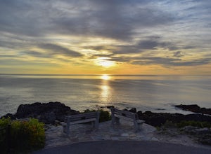
5.02 mi / 70 ft gainPark near the Oceanside Oarweed restaurant or any other public spots on the cove's peninsula. Marginal Way is a nicely paved 1.25 mile out and back path, perfect for a morning walk or run on the rocky coast. Catch fishermen, lobstermen, and recreational boats as they leave, or choose to sit at on...Read more -
Gilford, New Hampshire
Hike the Lockes Hill Trail
4.01.8 mi / 419 ft gainThis trail, beginning at a parking lot adjacent to the lake, leads to one of the best views of Lake Winnipesaukee. Although not very high in elevation, it is one of the tallest crests in the area, providing some of the best views, and the actual hike is not challenging in most conditions. Due to ...Read more -
Stow, Maine
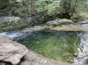
Hike to Rattlesnake Pool
2.11 mi / 207 ft gainThe best place to start your hike is from Route 113 near Gilead, head towards Stone House Road. This becomes Shell Pond Road. A few miles in, you'll find a gated area where you can park. This trail, and Rattlesnake Pool, are both on private land - so be sure to practice leave no trace principles.Read more -
Waterville Valley, New Hampshire
Sabbaday Falls
4.70.7 mi / 171 ft gainThis awesome waterfall is located right off of the Kancamagus Highway (rt 112) that runs from Lincoln to North Conway, NH. The highway itself is a very scenic drive through the White Mountains that has pull off spots every couple of miles. From I93 take exit 32 for Lincoln. Drive straight throug...Read more -
York, Maine
Photograph Nubble Lighthouse
4.8Officially named Cape Neddick Light, though more commonly known as Nubble Light, this lighthouse is part of the National Register of Historic Places and is a local favorite for photography. The lighthouse park is located just over the New Hampshire / Maine state line in New England, in York, ME....Read more -
Bartlett, New Hampshire
Hike Mt. Carrigain
5.010 mi / 3250 ft gainPark on Sawyer River Road at the Signal Ridge Trailhead. Trail starts out as a mild climb and meanders with the Whiteface Brook. When you arrive at the Carrigain Notch Trail junction, turn left. Enjoy three miles of steep uphill along the mountain's edge. When you reach the the apex of Mt. Carrig...Read more -
Hart's Location, New Hampshire
Hike Mt. Crawford
5.05 miDon't let the relatively short 2.5 mile hike up Mt. Crawford fool you, you certainly work for the amazing views from the summit. Located in Crawford Notch, park in the Davis Path lot almost directly across from the Notchland Inn on Rt. 302. The trail starts by going over a footbridge crossing the...Read more -
Arethusa Falls Road, New Hampshire
Snowshoe to Arethusa Falls via Bemis Brook Trail
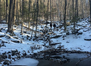
2.8 mi / 853 ft gainArethusa Falls is a popular hike in the White Mountains, and come winter it is a popular spot for ice climbing. The falls are located in Crawford Notch State Park and is the tallest waterfall in New Hampshire (between 140-200 feet). Following the Bemis Brook Trail to Arethusa Falls will add a few...Read more

