United States
Looking for the best hiking in United States? We've got you covered with the top trails, trips, hiking, backpacking, camping and more around United States. The detailed guides, photos, and reviews are all submitted by the Outbound community.
Top Hiking Spots in and near United States
-
Echo Lake, California
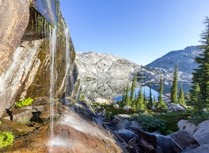
Backpack to the "Waterfall Camp" in Desolation Wilderness
4.710.5 mi / 1522 ft gainAlthough this hike can be done as a day hike, it is an awesome place to camp. There is a lot to explore and you will want to spend as much there time as you can. The easiest way to start this hike is to start at the Echo Lakes. There is ample parking above the marina and you even have the option ...Read more -
Canton, North Carolina
Sam Knob and Flat Laurel Creek Loop
4.93.84 mi / 807 ft gainThis is one of my favorite quick "getaway" loops in the Pisgah Ranger District. Turn onto Black Balsam Knob Road (Mile Marker 420 on the Blue Ridge Parkway) go until you reach a dead end and park at the parking lot. You'll see the Sam Knob trail to the right of the public bathrooms. From there, i...Read more -
Santa Ysabel, California
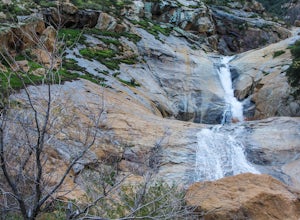
Three Sisters Falls
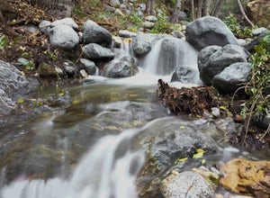
4.93.42 mi / 906 ft gainThree Sisters Falls is by far the best hike, for the most reward, that I've gone on in the close vicinity of San Diego. Only a short hour and a half drive from downtown San Diego, the hike offers all the draws of a National Park: remote wilderness, strenuous hiking, scenic mountain views, and ama...Read more -
Cascade Locks, Oregon
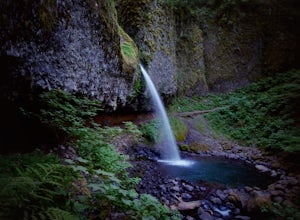
Ponytail Falls
4.60.85 mi / 463 ft gainPonytail Falls is an easy 0.8 mile hike located in the gorge that begins at Horsetail Falls. After hiking up mild switchbacks, continue to your right at the first trailhead intersection. The path levels out before coming around the mountain and opening up to the waterfall. This is the easiest wa...Read more -
Granite Falls, Washington
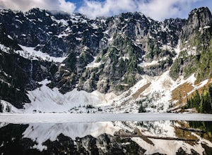
Lake 22
4.65.98 mi / 1434 ft gainIf you're looking for a taste of the Mountain Loop Highway area, but don't have it in you for a longer, steeper journey, look no further than Lake 22. The trail starts out as flat and well-maintained, from the parking lot, before becoming a true mountain rainforest trail. Water and dampness are f...Read more -
Altadena, California
Eaton Canyon to Idlehour Trail Camp
4.510.99 mi / 3291 ft gainIdlehour is nestled deep in the Angeles National Forest, so it feels like you're in the heart of some untapped wilderness instead of six miles away from a bustling metropolis. The trail camp is accessible by foot through a variety of locations, but the most popular route is through Eaton Canyon, ...Read more -
Seabeck, Washington
Hike to Guillemont Cove Stump House
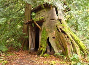
4.52.5 miHave you ever been inside a stump house? This is your chance! Just outside of Seabeck, Washington lies a hobbit stump house tucked into a mossy forest on the shores of Guillemont Cove. Drive to Seabeck, turn right onto Miami Beach Road, bear left onto Stavis Bay road and continue for 4.5 miles...Read more -
Castle Valley, Utah
Double Arch
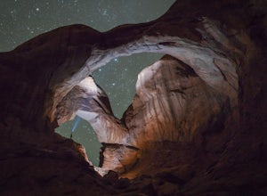
4.40.56 mi / 135 ft gainThe hike to Double Arch is a relatively flat and easy hike of 0.5 miles roundtrip. You can add this to the rest of the quick spots you may want to visit on your visit to Arches.This arch is created by two arches that shares the same stone as the foundation for their outer legs. This arch was form...Read more -
Big Sur, California
Cone Peak in Big Sur (Sea to Sky Backpacking Route)
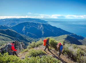
4.519.72 mi / 7484 ft gainWhile you can make a day-hike out of it by driving up the gorgeous Sur-Nacimiento Road from Highway 1 to the Coast Ridge Road and take a 2 mile trail to the summit with 1300' of elevation gain (4 miles roundtrip), the more adventurous types do a Sea to Sky, starting at Kirk Creek Campground and u...Read more -
Los Angeles, California
Vista Hermosa Natural Park
4.20.58 mi / 36 ft gainVista Hermosa Natural Park is part of the Santa Monica Mountains Conservancy and the Mountains Recreation and Conservation Authority. Located in the western gateway to Downtown Los Angeles, it’s very easy to drive by this hidden gem if you’re not looking for it. This park is the perfect mix of ur...Read more -
North Bend, Washington
Granite Mountain
4.27.92 mi / 3999 ft gainThe trek up Granite Mountain is a strenuous and fairly steep hike located east of Seattle and west of Snoqualmie pass off of I-90. Take exit 47 and turn North to a T intersection, park at the Pratt lake Trailhead at approximately 1860' and right beside I-90. The trail splits just after the first...Read more -
Linn County, Oregon
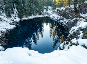
Tamolitch Blue Pool
5.03.56 mi / 253 ft gainThe hike out to Tamolitch Pool, or "Blue Pool," is 2 miles each way and follows the McKenzie River to a lava flow pool. Off Highway 126 14 miles east of McKenzie Bridge, turning into the Trailbridge Campground, drive right 1/3 of a mile to the trailhead. The trail is relatively flat, which gives ...Read more -
37.741904,-119.601967
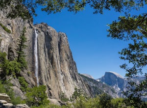
Upper Yosemite Falls
4.75.98 mi / 2700 ft gainYou can find the trailhead to Upper Yosemite Falls near Camp 4. There is plenty of free parking here and you can also take a shuttle to stop #7. Be sure to start this hike early in the day as it is strenuous and can get really hot as the day goes on. Bring plenty of water and snacks and take many...Read more -
Los Angeles, California
Secret Swing in Elysian Park
4.20.16 mi / 360 ft gainFor the most direct directions to the swing, plug in "Swing on top of Elysian Park" into google maps, which will take you directly to the trailhead. If you want to do it the more old fashion way, the swing is on top of a hill at the intersection of Angels Point Drive and Park Row Drive in Elysian...Read more -
Nederland, Colorado
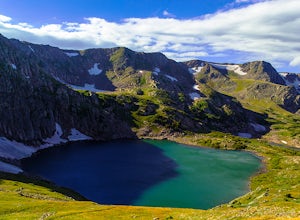
King Lake via Hessie Trailhead
5.011.32 mi / 2375 ft gainThe normal route from the east side is via the Hessie trailhead outside Nederland Colorado. From the west it is most often accessed via the short trail from Rollins pass, which is open in the summer. As noted above, it is also a lake and area ripe for creating your own adventure. The description ...Read more -
Sisters, Oregon
Sahalie and Koosah Falls Loop
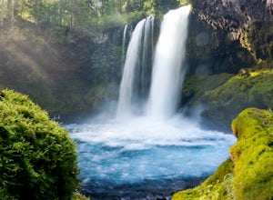
4.82.42 mi / 545 ft gainThis loop might be on the shorter side, but the hike is more than worth it for the scenery. Start at Sahalie Falls, a 100-foot tall waterfall pouring into the river below and covering the moss-covered valley with cool mist. Continue down the trail, walking past the 70-foot Koosah Falls, and finis...Read more

