United States
Looking for the best hiking in United States? We've got you covered with the top trails, trips, hiking, backpacking, camping and more around United States. The detailed guides, photos, and reviews are all submitted by the Outbound community.
Top Hiking Spots in and near United States
-
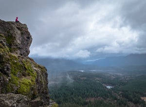
North Bend, Washington
Rattlesnake Ledge
3.95.46 mi / 2096 ft gainRATTLESNAKE LEDGE TRAIL:The hike to Rattlesnake Ledge begins at the trailhead next to the parking lot at Rattlesnake Lake. From here, you can look up and see the Ledge and rock face that you'll be hiking up toward. The trail begins covered under the forest, which can protect from the elements (su...Read more -
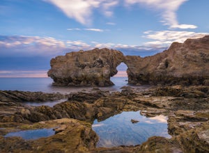
Newport Beach, California
Exploring the Arches at Little Corona del Mar
4.9Little Corona del Mar Beach is a secluded beach located on Poppy Avenue across Ocean Boulevard in Corona del Mar. Known as one of the less crowded beaches in the area, this spot is the perfect place to chill for the day or photograph a sunset. You will find plenty of free street parking in the ne...Read more -
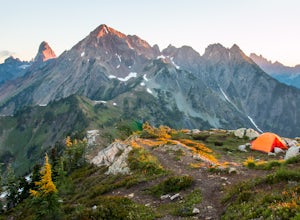
Whatcom County, Washington
Winchester Mountain Fire Lookout
4.83.28 mi / 1335 ft gainWinchester Mountain is said to have the greatest reward for least amount of effort in all the North Cascades. One of the last fire-lookouts in the region stands on the summit. Views from the summit of Winchester Mountain are beautiful and dramatic to say the least. Being one of the easiest hikes...Read more -
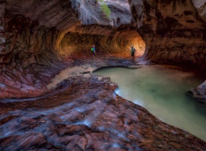
Springdale, Utah
The Subway - Top-Down
5.07.78 miThe Subway (rated 3B III), also known as the Left Fork of the North Creek, is the most popular backcountry hike in Zion. It is one of the most diverse and beautiful canyons, as well as a fun and challenging day trip canyoneering adventure. There are two ways to explore the Subway: from the botto...Read more -
Ashton, Idaho
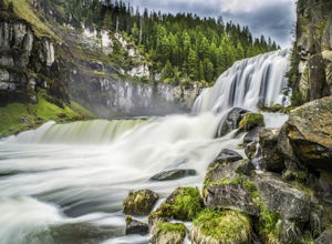
Upper and Lower Mesa Falls Loop
4.82.6 mi / 358 ft gainWhen two waterfalls have their own scenic byway, you know it is worth the additional stop. Lower Mesa Falls and Upper Mesa Falls are spectacular waterfalls along the Henrys Fork River, deep in the Grand Targhee Forest. The winding scenic byway yields some spectacular views of the Grand Targhee Fo...Read more -
Burney, California
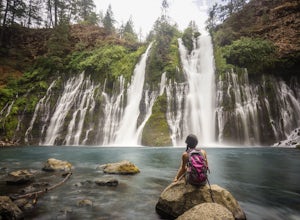
Burney Falls
4.90.97 mi / 82 ft gainBurney Falls can be seen right from the parking area, but this scenic loop is a great hike for all levels of hiking ability. Heading out on this trail will take you to the base of this 129 foot tall waterfall. The Hike Burney Falls has a 1.3 mile loop trail that takes approximately 30 minutes ...Read more -
Big Sur, California
Clifftop Camping & Hot Springs in Big Sur
4.7Campsite:There is nothing quite like driving or biking along US-1, the Pacific Coast Highway. Make sure you get a chance to do the drive during the day so that you can see all that Big Sur has to offer. Be careful when pulling off especially onto the shoulder and never stop on a curve in the road...Read more -
North Rim, Arizona
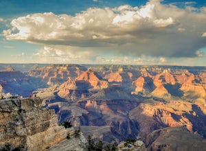
Grand Canyon: Rim-to-Rim-to-Rim
4.745.6 mi / 10141 ft gainDay 1 Start at the North Rim of Grand Canyon National Park at the North Kaibab Trail. You have 14 miles and 5,761 feet of elevation to descend to the Bright Angel Campground, so bring those trekking poles if you have bad knees (like myself). Along the North Kaibab Trail a few noteworthy trail m...Read more -
Sedona, Arizona
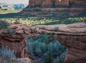
Devil's Bridge Trail
4.63.94 mi / 400 ft gainThe Devil's Bridge is the largest natural sandstone arch in Coconino National Forest and an iconic landmark. If you're visiting the Sedona area, hiking this trail is a must do. The hike: From the trailhead, the hike gradually slopes upward as it winds its way through the trees. The trail is eas...Read more -
Sandy, Utah
Bell Canyon's Waterfall
4.64.64 mi / 1549 ft gainIf you keep a steady pace, the hike takes about an hour each way, so allow time when trying to catch the sunset. The hike is pretty easy until right before you reach the falls, where there is a big, steep hill you have to climb. From the parking lot/trailhead, head up the path and head left when...Read more -
San Diego, California
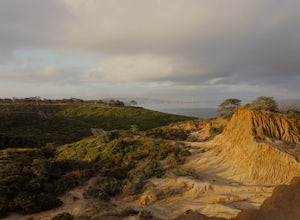
Torrey Pines Beach Trail Loop
4.72.15 mi / 374 ft gainThe beach trail brings you from the parking lot across the lodge from the bluff down to the beach. You can choose to visit the Red Butte, the Razor Point, and the Yucca Point trails along the way. Of the other trails, this trail seems to provide a complete walkthrough of geological features; it a...Read more -
Fremont, California
Mission Peak via Hidden Valley Trail
4.26.16 mi / 2116 ft gainBreathtaking views of the Bay Area are your reward for making this climb to the top of Mission Peak. It’s a 3-mile trek to the top of the peak and then back down the same way. This is a moderate hike that provides a nice workout – so be prepared. Park at the Stanford Avenue entrance gate. There ...Read more -
Salem, Virginia
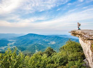
McAfee Knob
4.77.79 mi / 1296 ft gainIntro McAfee Knob is one of the most photographed and picturesque locations along the Appalachian Trail. Once you reach McAfee Knob, you'll have almost 270 degree views of the the Roanoke Valley to the East, Catawba Valley and North Mountain to the West, and Tinker Cliffs to the North. Due to t...Read more -
Stanley, Idaho
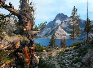
Sawtooth Lake via Iron Creek
4.910.04 mi / 1962 ft gainSawtooth Lake is "must-see" for Idaho hikers or any outdoor enthusiasts visiting the Sawtooth National Forest. The five mile trek to the lake is made worthwhile by breathtaking, photogenic alpine lakes and the crisp, clean Idaho air. It's up to you whether to day hike the trail or to camp at the ...Read more -
Cascade Locks, Oregon
Metlako & Punchbowl Falls
4.75.46 mi / 1030 ft gainNote: The overlook at Metlako Falls is closed. Find out more info here. This is a fairly short hike. 2 miles in to Punchbowl Falls (past Metlako Falls) and then 2 miles out. I’ve done it in all sorts of conditions from 95 degree sunny summer days to a trip in a deep freeze where I got in my wets...Read more -
Clackamas County, Oregon
Bagby Hot Springs
4.32.91 mi / 397 ft gainBagby Hot Springs is actually a set of amazing bathhouses nestled in the forest outside of Estacada. They are one of Oregon’s most poplar hot springs, and for good reason. The hike into the hot springs is easy and quite scenic. You’ll cross a bridge over Nohorn Creek and follow the Hot Springs Fo...Read more

