Oxoboxo River, Connecticut
Top Spots in and near Oxoboxo River
-
-
-
West Greenwich, Rhode Island
5.0
2.64 mi
/ 125 ft gain
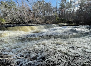
Stepstone Falls via Ben Utter Trail is an out-and-back trail that takes you by a waterfall located near West Greenwich, Rhode Island.
Read more
-
Chaplin, Connecticut
The drive to Diana's Pool is worth it in an of itself, taking you through the backroads of Eastern Connecticut. To begin the hike just simply enter the woodland path and follow the trail. In order to go under the bridge just simply take the first left in the path and there will be a stream that f...
Read more
-
-
Middlesex County, Connecticut
Accessing Glen Falls may be a little tricky at first. Parking will be very minimal, you will park on Grist Mill Ln. Hop onto the road and you will see the trail map on the left side. The adventure begins when you cross the street and go through the gate with the yellow blaze symbol. Keep followin...
Read more
-
Charlestown, Rhode Island
Walking over the dunes in the dark you can hear the waves breaking on shore from the parking lot. Wet suited up, camera in hand, make your way over the dunes and down to the water. East Beach is a sandy beach and with the right swell size and direction you'll get some sizable shore break to play ...
Read more
-
Glastonbury, Connecticut
4.0
1.46 mi
/ 207 ft gain
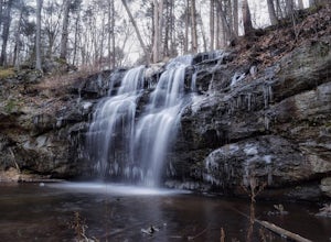
Although the park contains hiking trails, a pond and a streambelt, the primary draw of this parcel of land is the 25 foot waterfall. The falls flow varies depending on the volume of precipitation, from a trickle in the dry months to a three-pronged vertical drop after some consistent snow melt or...
Read more
-
Charlestown, Rhode Island
The Frosty Drew Observatory is located near the tip of southern Rhode Island, which means apart from summer this is a very quiet beach town. The isolation from major urban areas provides the perfect conditions for star-gazing. The building itself is located on a large plot of land dedicated to na...
Read more
-
Charlestown, Rhode Island
Rhode Island is nicknamed the Ocean State for a reason, and camping by the coast is something absolutely necessary while in New England. During the summer and early fall, Charlestown, RI, as well as the surrounding beach towns, come alive with tourists from all over the globe. The Breachway Campg...
Read more
-
Glastonbury, Connecticut
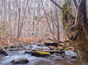
There are two parking locations for Cotton Hollow, the location tagged in the directions is the shortest hike to the old gun powder mill. Suggestions when it comes to exploring the preserve are to stay on the trails, know your limits, and enjoy! There are swimming holes along the river, but swim ...
Read more
-
South Kingstown, Rhode Island
Careful on the drive in for deer!
From the parking lot head right around the Farm Field Loop Trail then continue to your right down Osprey Point Trail (0.8 miles). This is where you will most likely see the deer up close. Continue to your right to the Osprey Point Overlook, which will (on a clear...
Read more
-
Shelter Island, New York
Just a short ferry ride from the Hamptons, South Ferry Road is exactly where it sounds; very close to the South Ferry of Shelter Island. The parking lot of Mashomack Preserve is marked by a large sign. When you walk in, you'll see a large nature center. Sign in at a clipboard at the table out fro...
Read more
-
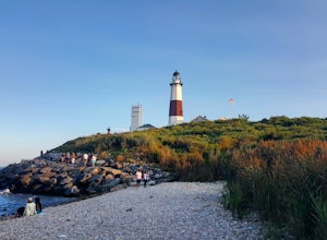
Montauk, New York
The Montauk Point Lighthouse is one of the main attractions of "The End" of Long Island, but I've only ever walked around it on the cliff walk.When you get to the lighthouse, you can park in the parking lot (depending on when you go there may be a $8 fee). Right along the edge overlooking the wa...
Read more
-
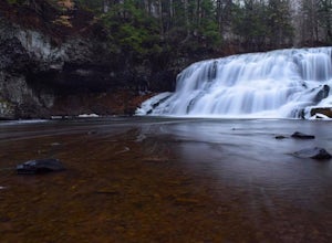
Middletown, Connecticut
When it comes to exploring Wadsworth Falls its ease of access couldn't be better. As soon as you pull into the parking lot you hear the falls roaring. Take the quick walk to see the picturesque scenery.Facts about Wadsworth Falls:Height: 25ft tall and doubled in width Rock: Hampden Basalt -the ro...
Read more
-
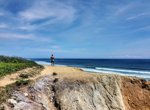
Montauk, New York
I've never actually been into the Shadmoor State Park, but you can climb up and onto the bluffs from the beach easily; well kind of easily.Most of the parking lots along the beach require Hamptons residency tags, so you can't park right next to beach entrances... bummer. We typically park along ...
Read more


