Ward, Colorado
Looking for the best hiking in Ward? We've got you covered with the top trails, trips, hiking, backpacking, camping and more around Ward. The detailed guides, photos, and reviews are all submitted by the Outbound community.
Top Hiking Spots in and near Ward
-
Boulder, Colorado
Hike the Red Rocks Loop Trail
3.71 miParking is available on either Canyon or Sunshine Roads. During the weekends it tends to get crowded around sunset so plan accordingly. The entire trail is a loop and is a little over 1 mile in length so it doesn't take too long. The main feature is the massive red sand stone rocks that jut out o...Read more -
Boulder, Colorado
Hogback Ridge Trail
2.85 mi / 830 ft gainHogback Ridge Trail is a loop trail where you may see beautiful wildflowers located near Manitou Springs, Colorado.Read more -
Boulder, Colorado
Wonderland Lake Trail
5.01.85 mi / 98 ft gainWonderland Lake Trail is a loop trail that takes you by a lake located near Boulder, Colorado.Read more -
Boulder, Colorado
Hike or Bike the Walker Ranch Loop
4.77.7 mi / 1740 ft gainWhen it comes to hiking trails in Boulder, the standard response usually consists of either Chautauqua Park or Mt. Sanitas, and while both offer excellent hiking options, they are both usually jam packed on the weekends. If you’re looking to stay close to the city, but want a little more seclusio...Read more -
Boulder, Colorado
Green Mountain via Gregory Canyon and Ranger Trail
5.45 mi / 2313 ft gainGreen Mountain via Gregory Canyon and Ranger Trail is an out-and-back trail that provides a good opportunity to view wildlife located near Boulder, Colorado.Read more -
Boulder, Colorado
Hike the Saddle Rock Trail
5.02.6 mi / 1500 ft gainYou can either start the from the Gregory Canyon Trailhead or the main Chautauqua trail. At the Chautauqua trailhead you will need to pay for parking on Saturdays and Sundays and at the Gregory Canyon Trailhead you will need to pay for parking if your car is not registered in Boulder. If you sta...Read more -
Nederland, Colorado
Hike to Columbine Lake
5.07 mi / 1200 ft gainThe hike is about seven miles, give or take, however it feels longer. The elevation gain is little over 1000 feet. The drive here is about 45 minutes from both Granby and Winter Park, and is definitely worth it. You follow a trail dusted with wildflowers for the majority of the hike, and occasio...Read more -
Boulder, Colorado
Royal Arch Trail
4.43.32 mi / 1220 ft gainRoyal Arch Trail climbs up Boulder's famous Chautauqua Park to an archway formed by sandstone rocks that tower over thirty feet high. Start at the Chautauqua Trail Station by the Ranger Station, and continue up Bluebell Road for 0.7 miles. You will then arrive at a more forested area, where you ...Read more -
Boulder, Colorado
Hike to the 1st Flatiron
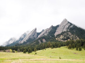
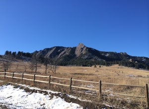
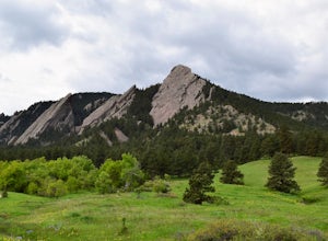
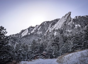
4.62.4 mi / 1422 ft gainStarting at the ever-popular and ever-populated Chautauqua Trailhead, take the main trail (a highway version of a dirt trail) straight towards the Flatirons. Continue going straight passed the Ski Jump trail to your right (0.2 mi.), then at a crossroads with the Bluebell-Baird trail (0.3 mi.) tur...Read more -
Boulder, Colorado
Green Mountain via Chautauqua Park
4.55.24 mi / 2467 ft gainStarting from the popular Chautauqua Park trailhead, head west on the main trail to the first branch off onto a smaller trail that will take you toward Baseline Road. Follow this trail until it eventually connects with Gregory Canyon Trailhead—you can park at this trailhead if you wish, but miss ...Read more -
Boulder, Colorado
Hike the Chautauqua Trail to the Ski Jump Trail
5.01.55 miBeginning at the Chautauqua Trailhead, the Chautauqua Trail goes for 0.6 miles before connecting with the Bluebell-Baird Trail. From here it becomes a choose-your-own-adventure hike. For a short, simple hike you can do with people who aren't ready for lots of elevation gain, take a right and conn...Read more -
Granby, Colorado
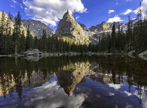
Mirror and Crater Lakes via Cascade Creek Trail
4.614.94 mi / 2421 ft gainStart at the Monarch Lake trailhead (where there is a $5 parking fee unless you have one of the national lands passes) and follow the cascade creek trail around the north side of the lake. After about 1.5 miles the trail splits with the Arapaho pass trail, follow the cascade trail to the left as ...Read more -
Boulder, Colorado
Hike the Enchanted Mesa Trail
4.01.4 mi / 440 ft gainStart out on McClintock Trail for 0.7 miles (this particular stretch can get muddy), before switching over to Enchanted Mesa Trail. To add a scenic 0.4 miles to your hike, take the Quarry Loop by turning right at the stone cabin, then following the steps up to the quarry, where you can overlook t...Read more -
Nederland, Colorado
Explore the Historic Railroad Route up Rollins Pass
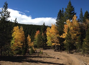
5.0Rollin's Pass Road is a dirt road that follows an old railroad route from the historic town of Tolland, over the Continental Divide, and into Fraser. The road no longer allows you to drive over the summit, due to a partial tunnel collapse, but the road still takes you to within a short hike of th...Read more -
Lyons, Colorado
Camp at Coulson Gulch
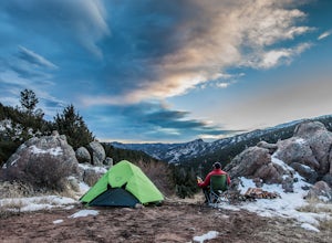
4.09 miCoulson Gulch is a lightly used area of the Roosevelt National Forest which makes it perfect for a weekend getaway without the crowds. This is a great place to camp out under the stars!To get to Coulson Gulch From Lyons, head west on U.S. Highway 36 for about 9 miles. Turn southwest onto Larimer ...Read more -
Nederland, Colorado
Upper Forest Lakes Trail
7.86 mi / 1778 ft gainUpper Forest Lakes Trail is an out-and-back trail that takes you by a river located near Rollinsville, Colorado.Read more

