Ward, Colorado
Looking for the best hiking in Ward? We've got you covered with the top trails, trips, hiking, backpacking, camping and more around Ward. The detailed guides, photos, and reviews are all submitted by the Outbound community.
Top Hiking Spots in and near Ward
-
Dillon, Colorado
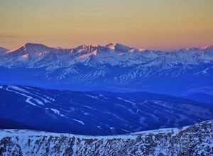
Hiking Mount Sniktau
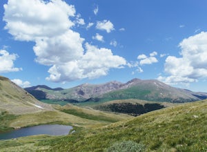
5.04 miMount Sniktau is a great beginner 13er. This hike offers a fun ridge walk with amazing views! Make sure you come prepared, the wind can be pretty relentless. Parking is limited so make sure you arrive early.This hike will get your blood pumping from the moment you exit your vehicle. You will cli...Read more -
Dillon, Colorado
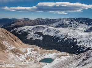
Hike Grizzly Peak at Loveland Pass
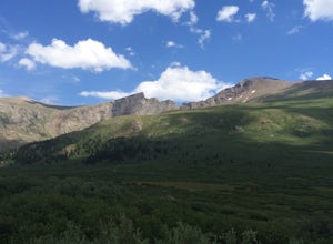
5.06 mi / 2900 ft gainWhile a typical Colorado hike may be an ascent to your destination followed by a descent back to your car, the hike to Grizzly Peak at Loveland Pass (Grizzly Peak "D") breaks that mold. At 13,427 feet, Grizzly Peak stands in the path to Torreys Peak’s west face (14,267’). Even though it is only ~...Read more -
Evergreen, Colorado
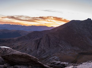
Watch the Sunset from Mt Evans Road
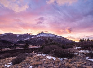
5.0Leave Evergreen, CO and access the Mount Evans Road and Mount Evans Recreation Area from Squaw Pass, CO 103 at Echo Lake.Drive along the slopes of Mount Evans, a Colorado 14er standing at 14,264 ft. 5 switchbacks down from the summit, on a tight hairpin turn, is a small parking area near 13,900f...Read more -
Dillon, Colorado
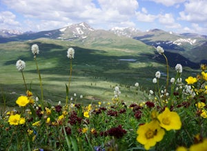
Mount Bierstadt
4.67.18 mi / 2697 ft gainIf you’re ready for your first 14er, Mount Bierstadt holds a reputation for a great “starter” 14er. Of course, experienced climbers will enjoy this (relatively speaking) easy mountain as well. Besides the joy of the hike itself, Bierstadt is a stunning wildflower hike in July and August. Thanks t...Read more -
Georgetown, Colorado
Hike to Square Top Lakes
4.3 mi / 1080 ft gainStarting from Guanella Pass, right across from the Bierstadt trailhead, Square Top Lakes is definitely a hidden gem. Most people here are attempting to do the 14er, but if you've already bagged that one (or are just looking for some high altitude hiking to get you ready for it), Square Top Lakes ...Read more -
Idaho Springs, Colorado
Bierstadt, Evans, and The Sawtooth Loop
4.59.76 mi / 3438 ft gainStarting from the oddly poorly marked Guanella Pass Trailhead (Google maps directions to Guanella Campground and then drive about two miles past it to the south), the trail heads southeast toward Bierstadt, and much of your route to the first summit is visible from the parking lot. The trail to ...Read more -
Idaho Springs, Colorado
Watch the Sunrise at Guanella Pass
5.01 mi / 100 ft gainFrom Denver, take i70 to Georgetown and simply follow the signs through town to the top. This pass can also be accessed from the south via US Highway 285 at the town of Grant. Guanella Pass is closed in the winter, typically from about the last week in November through the last week of May. Watch...Read more -
Evergreen, Colorado
Maxwell Falls
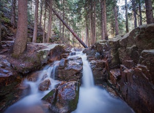
3.43.95 mi / 928 ft gainLocated just outside of Evergreen, this beginner hike is a great escape from the city for a few hours. There are three different options to hike to the falls: Maxwell Falls Lower Trail (4 miles), Upper Maxwell Falls Trail (1.1 miles), and Maxwell Falls Bluffs Cliffside Trail Loop (5 miles). On th...Read more -
Fort Collins, Colorado
Hike the Coyote Ridge Trail
1.03 mi / 550 ft gainThe Coyote Ridge Natural Area is one of several Larimer County "gateway" preserves and Open Lands that lead into the Front Range of the Rocky Mountains, connecting the shrublands of the Great Plains to the Rocky Mountain themselves through a network of trails, parks, and preserves. The Coyote Rid...Read more -
Dillon, Colorado
Grays Peak via the South Ridge
9.9 mi / 3970 ft gainGrays is easily one of the most popular 14ers in Colorado due to its moderate difficulty and proximity to Denver. Grays Peak is an awesome 14er but the crowds take away from the hike. And while the views on top of Grays are amazing, the barren landscape of the hike to get there isn't the most ama...Read more -
Kremmling, Colorado
Hike to Lake Agnes
3.01.6 miIn State Forest State Park, you start at Agnes Cabin, a historic cabin built in 1925. Because of its rustic architecture, it is listed on the National Register of Historic Places by the United States Department of the Interior. It is a one-story, lodge pole pine log cabin. The cabin is empty, bu...Read more -
Fort Collins, Colorado
Hike to Horsetooth Rock
4.55 mi / 1440 ft gainThe Horsetooth Mountain Park Open Space is located just 4 miles from Fort Collins. The 2,886 acre park offers 29 miles of hiking, biking, and horse back riding trails.Having taken both the multi use trail and the hiking only trail, I recommend the hiking only. This trail offers you the views and ...Read more -
Fort Collins, Colorado
Hike to Horsetooth Falls
4.52.22 mi / 101 ft gainHorsetooth Mountain Park is an outdoor trail haven just minutes from downtown Ft. Collins. The 2711 acre area has 29 miles of trails of varying length and difficulty for all levels of adventurers to explore. Horsetooth Falls is one of the shortest (yet stunning) trails in the area. This hike is i...Read more -
Conifer, Colorado
Upper Maxwell Falls Trail
1.11 mi / 135 ft gainUpper Maxwell Falls Trail is an out-and-back trail, which is the shortest and most direct route to Maxwell Falls located near Conifer, Colorado. If you're looking for a little longer trail, check out this Maxwell Falls adventure for a roughly 4-mile loop hike.Read more -
Walden, Colorado
Hike to American Lakes
5.011 mi / 1680 ft gainAmerican Lakes are two high alpine lakes located within State Forest State Park and the Never Summer Mountain Range. The park is located about 75 miles west of Fort Collins, Colo. along Highway 14 on the west side of Cameron Pass.Coming down from Cameron Pass, look for a sign for the American Lak...Read more -
Bellvue, Colorado
Hike to Comanche Lake in Pingree Park
3.58 mi / 700 ft gainYou start out hiking through the average Colorado forest for the first 4 miles of the 7-8 mile trip at about 6,500 feet. The trail is largely downhill for the first couple miles until it levels out and you are headed North. A little more than halfway, you come to Comanche Reservoir and hike up al...Read more

