Pitkin County, Colorado
Top Spots in and near Pitkin County
-
Gunnison County, Colorado
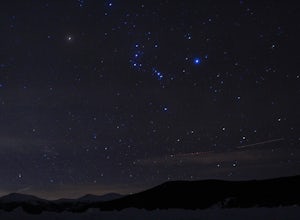
Winter Astrophotography at Taylor Reservoir
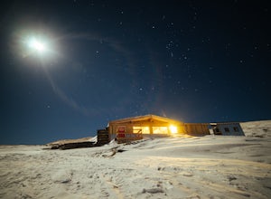
20 miles outside the south central Colorado mountain town of Almont lies Taylor Park Reservoir. The location is secluded and not penetrated by light pollution, making it a perfect place to photograph winter stars.When you arrive to your desired location by the edge of the reservoir you can begin ...Read more -
Leadville, Colorado
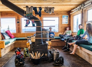
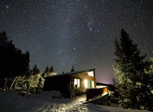
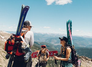
Ski Hut-to-Hut from Uncle Bud's to Skinner Hut
5.024.5 mi / 4700 ft gainThe trek starts just outside of Leadville near Turquoise Lake at 9800 ft. The first day you'll travel 6.5 miles and gain 1700 ft. to Uncle Bud's Hut, which sits around 11,400 ft. The second day you'll ski 7.1 miles to Skinner Hut and gain 2100 ft, mostly in the last 3 miles after having dropped...Read more -
Somerset, Colorado
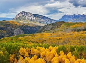
Hike the Dyke to Dark Canyon Loop
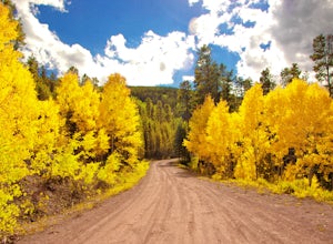
4.06.5 mi / 1700 ft gainKebler Pass near Crested Butte is a leaf peepers paradise considering that one of the largest groves of aspens in Colorado makes its home here. If you want those postcard views of rugged mountain peaks and vibrant aspens, then I recommend hiking the Dyke Trail to Dark Canyon loop. Put this on you...Read more -
Carbondale, Colorado
Trail Run Mushroom Rock and Red Hill
5.03 miMushroom Rock sits high above Colorado Highway 82 overlooking the town of Carbondale. With huge views up the Crystal and Roaring Fork River Valleys, terrain that inspires more desert-Utah than Rocky-Mountain-Colorado, this recreation area feels like a getaway even when it is minutes from Main Str...Read more -
Buena Vista, Colorado
Hike to the Historical Interlaken Resort
5.06 mi / 500 ft gainFollow Colorado Highway 24 South from Leadville for 14 miles, then turn right onto Colorado 82 towards Aspen. Turn left onto County Road 25, then follow the road for 1 mile to a small parking area for the Colorado Trail. You have arrived!This trail starts near 9,200 feet of elevation and while yo...Read more -
Leadville, Colorado
Overnight at the Emma and Marceline Yurts, Leadville
11 mi / 1200 ft gainDrive past the main downtown of Leadville and then head into the mountains south of town, following Mt. Sherman Road to the Yurt parking along a ridge before you come to the Black Cloud Mine. There are signs that say "Yurt Parking". Follow the road a little further down to a jeep road just before...Read more -
Somerset, Colorado
Hike the Three Lakes Trail
5.04.5 mi / 580 ft gainThe Three Lakes trail near Crested Butte is a great loop if you're looking to hit up a couple mountain lakes. At 4.5 miles with moderate incline, this trail can easily be knocked out in under 2 hours. It also is a great hike to admire fall colors as you'll get great views of the Ruby Range and th...Read more -
Somerset, Colorado
Camp at Lost Lake Slough
5.0Lost Lake Slough offers camping, hiking, photography, kayaking, and more in a remote and beautiful part of Colorado. At an elevation of over 9,600 ft., the lake typically opens in mid-June after the snow is melted, and closes in October after the first significant snowfall. The campground is on...Read more -
Leadville, Colorado
Ski or Snowshoe to the Weston Pass Hut
5.013.4 mi / 2400 ft gainYour trip starts at the winter trailhead for Weston Pass, approximately 6.7 miles from the hut. Depending on road conditions, you may be able to cut off a few miles by driving further up the road.In the summer, you can drive all the way to the hut, and enjoy a great basecamp for hiking and trail ...Read more -
Leadville, Colorado
Ski or Snowshoe to Vance's Cabin
3.1 mi / 750 ft gainVance's Cabin is a private hut near Tennessee Pass booked by the 10th mountain division. The hut was completed in 1988 and sleeps 16; 6 beds upstairs in a loft and 10 bunk beds downstairs in a communal bunked area around the wood stove. It's a compact cabin compared to some of the other huts in...Read more -
Minturn, Colorado
Climb Mount of the Holy Cross, North Ridge
4.5Just a few miles South Minturn, Colorado, turn onto Tigiwon Road (dirt) and take it about 5 miles to the Half Moon trailhead at . Tigiwon Road is easily accessed by 2WD vehicles and the trailhead should be reachable in the Summer months after the snows have melted.Start early as, at 12 miles, thi...Read more -
Minturn, Colorado
Scramble the Halo Ridge on Mt. Holy Cross
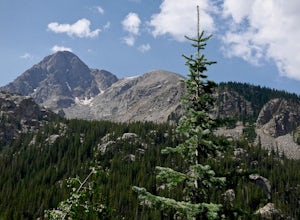
5.015 mi / 5210 ft gainThe Halo Ridge is by no means the easiest route to the summit of Mt. Holy Cross, but it is definitely the most interesting and scenic. You'll begin at the Half Moon (Tigiwon) trailhead, but instead of the popular Halfmoon Trail, you will start on the Fall Creek Trail as it leaves the campground.T...Read more -
Minturn, Colorado
Hike to Tuhare Lakes
12 mi / 3000 ft gainOverview: About a 12 mile hike, with 3 alpine lakes, a significant climb and views worthwhile Photos: See all photos here. Getting There: The hike is accessed from the Half Moon pass parking lot - from the Fall Creek trailhead. The parking lot and trailhead are accessed at the end of Tigiwon Rd. ...Read more -
Minturn, Colorado
Ski Notch Mountain
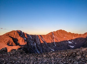
10 mi / 3000 ft gainWhat's not to love - you'll be skiing in the off season! We did this hike/ski in late June, our skis, boots, and avi gear packed with our hiking shoes on our feet. May could potentially be the most opportune time for this adventure. The hike you will take is the traditional Notch Mountain Hike. T...Read more -
Gunnison County, Colorado
Take in the Views on Cottonwood Pass
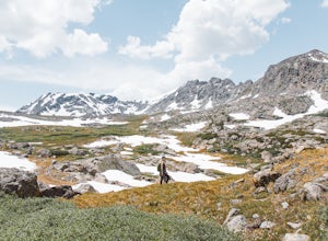
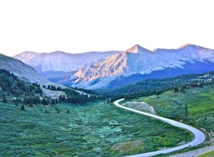
4.7Starting in the town of Buena Vista, head west on E Main Street until it turns into State Highway 306. After about 40 minutes of driving and some winding roads the Continental Divide sign welcomes you to a gravel parking lot. You can get out and hike as you please, but the view from the parking l...Read more -
Gypsum, Colorado
Explore Hardscrabble Mountain
Depending where you choose to access the Hardscrabble area from, this can be a fairly easy day hike or an overnight camping trip. If looking for a shorter day hike, access the Hardscrabble area by way of Hardscrabble Mountain Rd. From the town of Eagle, head South on Sylvan Lake Rd. In 5 miles, t...Read more

