Montrose, Colorado
Top Spots in and near Montrose
-
Telluride, Colorado
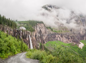
Hike to Bridal Veil Falls in Telluride
5.02.4 mi / 850 ft gainPark at the Pandora Mill just east of Telluride and lace up your footwear of choice. At 1.2 miles to the base of the falls with 850 feet of gain, this can make for a great thigh burning hike or run. The trail is a gravel road that eventually passes a gate to further trails up the Bridal Veil Ba...Read more -
Ridgway, Colorado
Running to Grizzly Bear Mine
Bear Creek Trail, which leads to Grizzly Mine, is located just 2 miles outside of Ouray, Colorado on Highway 550 immediately following the first tunnel. There's two parking lots, a large one and a small one, the trail leads from the small parking lot over the tunnel and highway. There are no bath...Read more -
Ophir, Colorado
"Iron Way" Telluride Via Ferrata
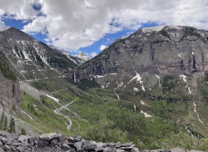
3.15 mi / 974 ft gainThe Via Ferrata is an incredible way to enjoy Telluride from above. If you and your group have rock climbing experience this will be right up your alley. If no experience rock climbing there are guided options with great shops from town that will help you along this route. Hike up to Bridal Veil...Read more -
Ridgway, Colorado
Explore Corckscrew Gulch
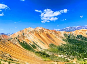
Corkscrew Gulch is named for the narrow and winding switchbacks that "corkscrewes" up Red Mountain Two. It is hard to miss this area of the San Juan Mountains, because the deep reds, oranges, and yellows blanket all three of the named "Red Mountains". The red color in the mountains is caused by o...Read more -
Cedaredge, Colorado
Grand Mesa County Line Loop
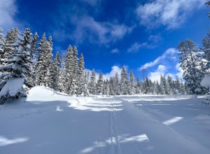
5.05.82 mi / 302 ft gainThe County Line Trailhead is a great way to enjoy the winter wonderland of the Grand Mesa. Both classic or skate skiing is allowed (along with snowshoeing). This is a perfect family trail since all trails are easy to moderate with a few short climbs and a maximum elevation change of 50 feet. Ther...Read more -
Cedaredge, Colorado
Run the Crag Crest Loop
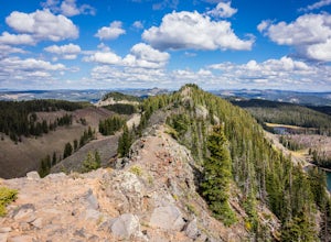
4.310.4 mi / 1500 ft gainThe Crag Crest Trail is a 10-mile loop that takes runners over one of the highest points on Grand Mesa. When traveling in a clockwise direction, the trail traverses a narrow rocky ridge for 5-miles before descending into the dense pine forest below. Grand Mesa's trails are less maintained due to ...Read more -
Lake City, Colorado
Explore Nellie Creek Falls
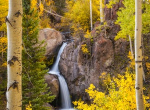
5.00.8 mi / 300 ft gainNellie Creek Falls is a beautiful little falls, up County Road 23. The waterfall is surrounded by a forest of aspens leading up the valley. To get to the falls take the northern route of the Alpine Loop from Lake City towards Engineer Pass. In about 5 miles you come to Nellie Creek Road on the ri...Read more -
Ridgway, Colorado
Ski or Snowboard Red Mountain Pass
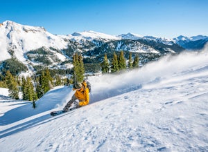
Red Mountain Pass is the site of an historic silver mining boom from 1882 to 1893. During that time, over 10,000 people lived at over 11,000 feet! Today, it's turned into a backcountry ski and snowboard touring destination. If you are coming from the North, you'll pass through the gorgeous box-c...Read more -
Telluride, Colorado
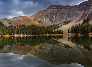
Alta Lakes Dispersed Camping
4.7Note: Camping is permitted around the lake. There are approximately 20 undeveloped campsites. For more information, head to the US Forest Service website. Camping Facilities20 campsites that are completely undevelopedCamping is permitted at only the designated campsitesPortable toilets are avail...Read more -
Mesa, Colorado
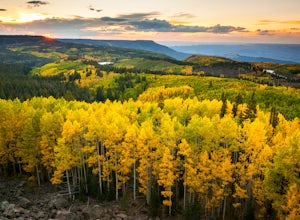
Photograph Fall Colors on Grand Mesa
Despite being one of the largest flat-top mountains in the world, Grand Mesa sees far fewer visitors than other areas of Colorado. Locals only an hour away in Grand Junction frequent the area for its plentiful fishing, camping, and off-roading opportunities, but few take advantage of its photogra...Read more -
Telluride, Colorado
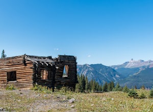
Explore Alta Ghost Town
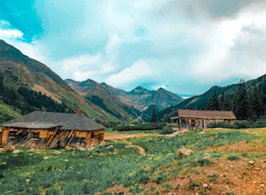
5.00.5 miAlta Ghost Town is located about 10 miles from Telluride on Alta Lakes Road. Take the rugged dirt road approximately 2 miles until the ghost town appears on the left. Hike up the short trail to view the remnants of the old mining town with many of the buildings still standing, including the impre...Read more -
Silverton, Colorado
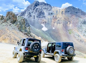
Drive to California Pass
California Pass’s summit is a jaw dropping 12,960 feet above sea level. A long way from the valley floor, California Gulch, but, as drivers start their trek, the valley floor starts to shrink and gives way to steep climbs and switchbacks. Off road vehicles are needed to reach the top, and drivers...Read more -
Telluride, Colorado
Drive Black Bear Pass & the Ingram Basin
5.012 mi / 3000 ft gainBlack Bear Pass (el. 12,840’), officially known as Forest Service Road 648, is an infamous 4WD road that runs between U.S. Highway 550 (between Silverton & Ouray) and Telluride, CO. From the pass downhill through the Ingram Basin to Telluride, the road is one-way and features switchbacks and ...Read more -
Silverton, Colorado
Explore Animas Forks
5.00.25 mi / 40 ft gainThe ghost town of Animas Forks, CO is located in the San Juan Mountains at an elevation of 11,200 feet. There are several original buildings remaining. The best way to explore the region is by Jeep or other high-clearance 4×4. The cabins began being built by prospectors in 1873. Three rivers meet...Read more -
Silverton, Colorado
Explore Hurricane Pass and Lake Como
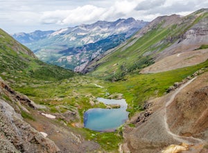
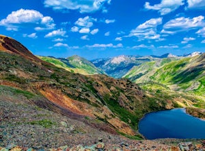
Spending much of the trek above tree line, Hurricane Pass is situated at 12,730 feet above sea level and offers up views of Poughkeepsie Gulch (a more extreme off-road trail) and sapphire blue mountain lakes, such as Lake Como. One of the most beautiful roads in the lower 48 states, Hurricane Pas...Read more -
Mesa County, Colorado
Snowshoe around Mesa Lakes
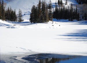
5.02 mi / 300 ft gainThis short loop trail starts and ends at Mesa Lakes Lodge, it is a little less than 2 miles round trip. From the lodge, we walked up the road towards our cabin (Bear cabin). Just past the cabin a trail starts that skirts the edge of the first lake and then winds around a few other lakes (Mesa Lak...Read more

