Manitou Springs, Colorado
Looking for the best hiking in Manitou Springs? We've got you covered with the top trails, trips, hiking, backpacking, camping and more around Manitou Springs. The detailed guides, photos, and reviews are all submitted by the Outbound community.
Top Hiking Spots in and near Manitou Springs
-
Cañon City, Colorado
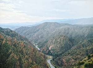
Hike Tunnel Drive
3.8 mi / 521 ft gainThis 3.8 mile out and back trail is a very easy hike but can have moderate to high foot traffic depending on the season and time of day. I recommend doing this hike early in the morning to not only beat the heat, but to beat the other hikers. What I love about this hike is the chance to see the t...Read more -
Cañon City, Colorado
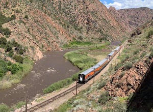
Royal Gorge Bridge
3.53.3 miThe Royal Gorge Bridge and Park is located in Canon City which is about an hour outside Colorado Springs. Once you get there, it's a $26 entrance fee per person. The park is dog and family friendly. You can walk across the bridge, take the gondola, or zip line across. Taking the gondola and of c...Read more -
Castle Rock, Colorado
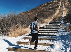
Run the Challenge Hill
5.00.6 mi / 200 ft gainThe Basics: The Challenge Hill, or as I like to call it, the Mini-Incline, is a shrunken version of its big brother to the south in Manitou. However, don't let its relatively small 200 stair count fool you - this hill is a serious workout! Located in Philip S. Miller Park, just one minute off I-2...Read more -
Franktown, Colorado
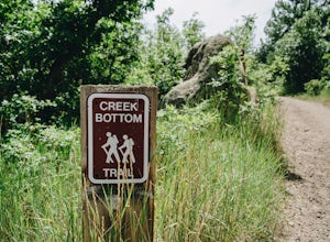
Hike the Creek Bottom Trail
5.04.1 miThe West Side of Castlewood Canyon is the more "rugged" side of the park, it has a dirt road, gravel parking lots, and only vault toilets. Luckily, this also means this is a less popular side of the park, making for less crowded trails and easier parking! Park at the first trailhead, for the Hom...Read more -
Franktown, Colorado
Hike the Rim Rock Trail
4.98 miThe West Side of Castlewood Canyon is the more "rugged" side of the park, it has a dirt road, gravel parking lots, and only vault toilets. Luckily, this also means this is a less popular side of the park, making for less crowded trails and easier parking! Park at the first trailhead, for the Hom...Read more -
Franktown, Colorado
Hike the Rim Rock / Creek Bottom Trail Loop
5.04.54 miThe West Side of Castlewood Canyon is the more "rugged" side of the park, it has a dirt road, gravel parking lots, and only vault toilets. Luckily, this also means this is a less popular side of the park, making for less crowded trails and easier parking! Park at the first trailhead, for the Hom...Read more -
Calhan, Colorado
Hike the Paint Mines Interpretive Space Loop
4.54 mi / 200 ft gainThe site is an easy drive from Colorado Springs on US Route 24. There are three parking areas: the west and south parking areas are trailheads, and there is additional parking on the west side for a scenic overlook. The overlook does not attach to any trails.Through several loops, there are up to...Read more -
Calhan, Colorado
Photograph Colorado's Paint Mines
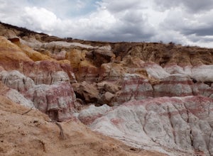
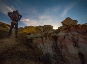
4.90.25 miAbout an hour from Colorado's busy Garden of the Gods is a multi-colored hoodoo valley called, The Paint Mines. Similar in appearance to Utah's popular Goblin Valley, The Paint Mines offer colorful hoodoo formations making your photography here even more awe inspiring.Getting to the park is easy,...Read more -
Cañon City, Colorado
Hike Temple Canyon
5.01 mi / 400 ft gainTake 1st Ave heading south out of Canon City and you'll come to Temple Canyon Road. You'll take 7 miles of dirt road to Temple Canyon Park. It is free to enter and there is a decent campground there where you can camp for free for up to 14 days. The trail begins at Temple Ridge Campground. The tr...Read more -
Pine, Colorado
Little Scraggy Peak Loop
5.012.18 mi / 1621 ft gainLittle Scraggy Peak Loop is a loop trail that takes you past scenic surroundings located near Buffalo Creek, Colorado.Read more -
Littleton, Colorado
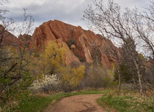
Hike the South Rim Trail at Roxborough State Park
3.83 mi / 300 ft gainRoxborough State Park is one of the closest parks to the Denver metro area and is the perfect place to go if you're looking to experience the great outdoors without having to drive too far from the city.One of my favorite trails in the park is the South Rim Trail which takes you on an easy to mod...Read more -
Littleton, Colorado
Hike to Carpenter Peak
4.56.2 mi / 1171 ft gainCarpenter Peak stands at 7,166 feet above sea level. While that altitude might not exactly take your breath away, the views from the top certainly will. Starting at the Visitor's Center, the trail to Carpenter's Peak begins as a relatively flat, well-traveled trail. A little less than a mile into...Read more -
Littleton, Colorado
Walk the Willow Creek Loop
1.4 miRoxborough State Park is located on the outskirts of Littleton, Colorado. Boasting incredible red rock formations and abundant wildlife, it is the perfect place for a quick escape outside.The Willow Creek Loop connects to the two parking lots in the park, so it is impossible to miss. With only th...Read more -
Littleton, Colorado
Hike the Fountain Valley Trail at Roxborough State Park
4.82.3 mi / 100 ft gainThe Fountain Valley Trail at Roxborough State Park is a very easy trail that's perfect for those that want to enjoy the outdoors but not subject themselves to the rigors of climbing a 14er. This very well maintained trail is wide and flat and perfect for groups, families, or for taking visitors t...Read more -
Jefferson, Colorado
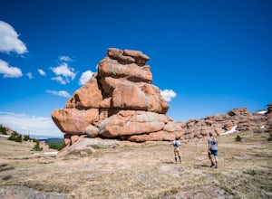
Trek through Granite Pillars on Bison Peak
12.4 mi / 4000 ft gainBison peak sits 2 hours from Denver in the mountains of the Lost Creek Wilderness. To reach the 12,431 ft. summit you'll start in low density ponderosa forest at 8,750 ft on crushed granite trail. Early starts are recommended in the summer months as the trail's high albedo can make for an extreme...Read more -
Jefferson, Colorado
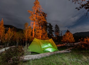
Backpack Lost Creek
4.05 miI included a trail map of where I camped. There are many sites all throughout this area. From the Lost Park Campground Parking lot follow the Lost Creek for 2.4 miles. At the 1 mile mark was the best place that we found to cross the creek (there are two logs that make a bridge across the creek). ...Read more

