Lake City, Colorado
Top Spots in and near Lake City
-
Gunnison, Colorado
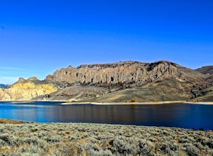
Hike the Dillon Pinnacles Trail
4 mi / 300 ft gainThe Dillon Pinnacles are a geologic phenomenon of southern Colorado. Volcanic eruptions formed the breccia rock into towering spires above the Sapinero Basin of Blue Mesa Reservoir. This packed dirt trail starts at about 7500 feet and climbs to a max elevation of 7800 feet. The four mile out-and-...Read more -
Ridgway, Colorado
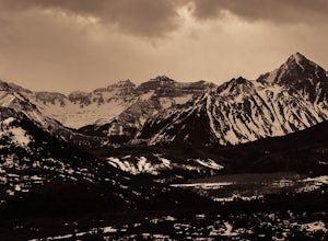
Photograph Dallas Divide
Along with Maroon Lake and Crystal Mill, Dallas Divide is one of Colorado's iconic photography locations. It's proximity to the rugged San Juan mountains makes it an ideal location to capture some of Colorado's most incredible scenery in one picture frame. Start your adventure by grabbing your t...Read more -
Telluride, Colorado
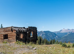
Explore Alta Ghost Town
5.00.5 miAlta Ghost Town is located about 10 miles from Telluride on Alta Lakes Road. Take the rugged dirt road approximately 2 miles until the ghost town appears on the left. Hike up the short trail to view the remnants of the old mining town with many of the buildings still standing, including the impre...Read more -
Durango, Colorado
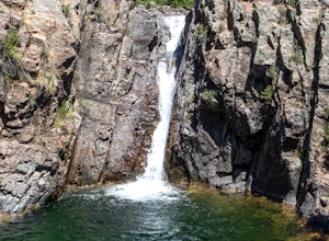
Adrenaline Falls
5.00.43 mi / 279 ft gainAdrenaline Falls is a popular spot for the locals to swim and relax during the warm summer months. The pool at the bottom of the falls is deep and popular for cliff jumping. To get to the waterfall, turn onto the North access to Lime Creek road. A high clearance 4x4 vehicle is recommended to ...Read more -
San Miguel County, Colorado
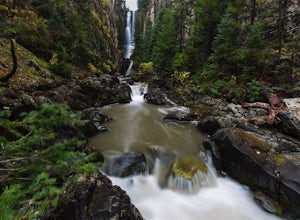
Mystic Falls
4.22.39 mi / 138 ft gainI've been visiting Telluride, CO for the last 20 years, and I'd never once heard of this place. Mystic Falls is not marked on any map I've ever seen. And even some locals seem to have never heard of it. So I feel like I lucked out on this last trip to Telluride when a friend found a blog post and...Read more -
Durango, Colorado
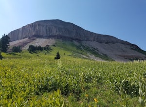
Engineer Mountain via Cold Bank Pass
5.05.85 mi / 2293 ft gainWe were vacationing in the San Juan Mountains for 2 weeks. A local resident suggested the hike as a great place to see wildflowers. The "Engineer Mountain" sounded a bit too technical to be a scenic hike but we decided to hike like a local and this was one of the best hikes we did in 2 weeks. Ac...Read more -
San Miguel County, Colorado
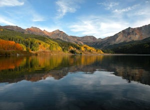
Stand Up Paddle at Trout Lake
5.0Trout Lake is large enough to provide a good cardio workout without getting crowded and small enough to tour around for hours. It's a perfect lake for SUPing with friends, SUP games, SUP yoga and even SUP fishing.Read more -
Durango, Colorado
Summit 3 Peaks in the Chicago Basin
5.0I tell people all the time that if they only do one hike in Colorado, this is it. You get a little taste of everything: Colorado history, wildlife, beautiful campsite views, 14ers, and the largest wilderness in the state.This itinerary assumes you’re hitching a ride on the train from Silverton. ...Read more -
Ophir, Colorado
Mountain Bike Galloping Goose
The Galloping Goose Trail near Telluride, Colorado is a bike ride along what once was a historic train route. Plus it’s family friendly and the scenery is phenomenal.The starting point is at the top of Lizard Head Pass at an elevation of 10,200 feet. The scenery, from wildflowers to colorful moun...Read more -
Durango, Colorado
Columbine Pass via Purgatory Flats
5.034.52 mi / 6932 ft gainThis hike begins at the Purgatory Flats Trailhead across from the Purgatory resort. The register is about a hundred yards from the Trailhead and is located next to a trail map. From here you will begin your descent down into the flats, which is roughly a 600-700 foot descent over the course of ju...Read more -
Gunnison, Colorado
Camp at Hartman Rocks
3.0Just 3 miles outside the small south central town of Gunnison, Colorado lies Hartman Rocks recreation area. This 8000 acre open space includes 40 miles of single track trails as well as 33 miles of road. Camping at Hartman Rocks is the perfect way spend a relaxing night, or get an early start to ...Read more -
Gunnison, Colorado
Mountain Biking in Colorado's Hartman Rocks
4.0Drive four miles south of Gunnison, Colorado and you'll find Hartman Rocks. Meet up with your friend at the parking lot at the base and head out with your bikes onto Jack's Trail, a singletrack trail that takes you onto the main routes through BLM land.Kiosks throughout Hartman Rocks have maps wh...Read more -
Placerville, Colorado
Hike Wilson Peak aka Coors Peak
4.0The mountain peak that turns blue when Coors and Coors Light bottles and cans are ice cold is real. No, it is not called Coors Peak. But it is in Colorado, where Coors was born. The snow-capped mountain in the Coors logo is really Wilson Peak near Telluride, Colorado.If you want to crack a Coo...Read more -
Montrose, Colorado
Drive the East Portal Road
Want an easier way to get to the bottom of the canyon without the rugged hiking trails? Drive to the bottom via the East Portal Road. Open once the harsh winter breaks, this road switchbacks its way to the bottom at the meeting place of Curecanti National Recreation area and Black Canyon of the G...Read more -
Montrose, Colorado
Camp at Black Canyon of the Gunnison's South Rim Campground
5.0The South Rim Campground is located about 6 miles inside Black Canyon of the Gunnison National Park. There are a total of 88 sites, 34 of which are available year-round. Reservations are definitely recommended, but are not required - loop C is first-come, first-served. Loop B fills up first, as i...Read more -
Montrose, Colorado
Hike to Tomichi Point and Gunnison Point Overlooks
5.02 miTo access the South Rim of the Black Canyon of the Gunnison National Park, take US 50 and CO 347 to the south entrance, 15 miles east of Montrose. There is no bridge between the north and south rims of the canyon - make sure you enter from the Montrose side.After passing through the entrance stat...Read more

