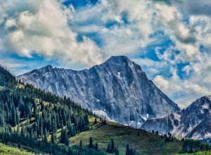
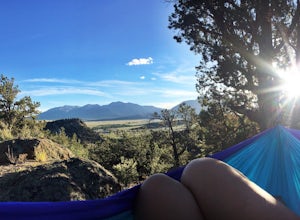
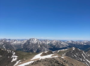
Gunnison, Colorado
Top Spots in and near Gunnison
-
Buena Vista, Colorado
Mt. Elbert via Black Cloud Trail
4.510.69 mi / 4967 ft gainDirections: Heading south from Leadville from U.S. 24: West on CO 82 for 10.5 miles to a hidden right turn that leads to a trail head. If you make it to the Mt. Elbert Lodge, you have gone just a bit too far. The parking lot (aka: dirt access) should be relatively empty as everyone tends to hik...Read more -
Buena Vista, Colorado
Hope Pass via Willis Gulch
5.08.75 mi / 3297 ft gainHope Pass is accessed from the Willis Gulch trailhead about 25 miles outside of Leadville, Colorado. To get to the trail head, follow Highway 24 East for about 16 miles until you arrive at the junction for Highway 82. Turn right and follow Highway 82 for about 8.3 miles. You will see a sign on th...Read more -
Aspen, Colorado
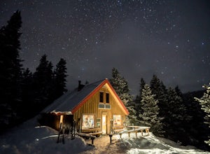
McNamara Hut
5.012.46 mi / 2631 ft gainMcNamara Hut sits in the national forest on the slope of Bald Knob, with easy access to intermediate backcountry skiing and more challenging terrain further away. Built in 1982, it's one of the original huts in the 10th Mountain Division system along with Margy's Hut. The hut comes stocked with...Read more -
Carbondale, Colorado
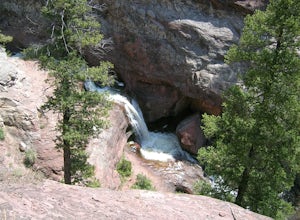
Explore Hayes Creek Falls
3.50 miRight off of Highway 133 about 2 miles south of Redstone, lies a very easy-to-get-to Waterfall. Park your car off to the side of the highway, walk about 100 feet and you will find this glorious waterfall. The fall is best to see in the late Spring to early Summer. From late Spring, to early Summe...Read more -
Aspen, Colorado
Camp on the Backside of Buttermilk Mountain
1.04 mi / 2000 ft gainPark at the Buttermilk Ski Area parking lot and begin your hike up the mountain at the bottom of the Summit Express chair lift. Follow the 4x4 dirt road the entire way up Buttermilk. There are other small hiking trails that you can follow too, and with the entire mountain being a ski area, it's s...Read more -
Aspen, Colorado
Ski or Snowboard the Burnt Mountain Glades of Snowmass
5.03.5 miThis is part of the Aspen Snowmass Ski area so you'll have to buy a ski pass to take the lift up, or if you're up for a bigger workout, put some skins on and trek up to the top of Elk Camp. The easiest way to get there is to take the Elk Camp gondola to the Elk Camp lift. Once at the top of the l...Read more -
Aspen, Colorado
Ski the Rocky Mountain High Trail at Snowmass
This is part of the Aspen Snowmass ski area so you'll have to buy a ski pass to take the lift up. The easiest way to get there is to take the Village Express lift to the top and once you get off turn left. You'll ski down the "blue" trail, Max Park, to Trestle and end at the Sheer Bliss lift. Tak...Read more -
Aspen, Colorado
Downhill Mountain Bike the Verde and Viking Trails at Aspen Snowmass
3.8 mi / 1900 ft gainThe Verde and Viking trails at Aspen Snowmass resort are long winding trails perfect for beginners and intermediates. The trails are a combination of open and forest-lined paths varying from 1 to 6 feet wide. They both do a nice job of combining large wide turns where you can keep your speed to e...Read more -
Aspen, Colorado
Hike to Spiral Point (Yin Yang), Snowmass
5.01.3 mi / 284 ft gainSnowmass Village is located 15 - 20 minutes west of Aspen Colorado off state highway 82. Once in Snowmass Village, take Brush Creek road almost to the top of the hill until the road splits with Divide road (If you have made it to the Snowmass Village mall, you have missed the road and must turn b...Read more -
Aspen, Colorado
Hike the Mayfly Trail, Snowmass
0.25 miLocated in Snowmass Village CO, this trail is nestled between Brush Creek and Brush Creek Road.Drive your vehicle to Clark's Market (16 Kearns rd Aspen, CO) and park in the lot facing down valley looking towards Woodbridge Condominiums. Along the edge of Clark's parking lot there will be a dirt t...Read more -
Twin Lakes, Colorado
Kayak Twin Lakes
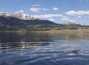
Twin Lakes are two bodies of water that are connected by a short run of water with a dam at the eastern end. There are a few different places to put in your boat including boat ramps by the access point on the east end of the lake. There is also a boat ramp and a place to seasonally rent boats by...Read more -
Leadville, Colorado
Mountain Bike the Colorado Trail near Mount Elbert
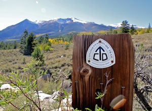
This is the way to see fall colors if you're into empty trails and endorphins. Grind up the trail starting from South Elbert Trailhead. You'll turn right onto the Colorado Trail at .3 miles and stay here for as long as you like, or 7.3 miles to the Mount Elbert Trailhead. Turn around and go back ...Read more -
Twin Lakes, Colorado
Camp at Twin Lakes' White Star Campground
4.5This area is located on the other side of Independence Pass from Aspen, which is only accessible during the summer, or can be reached year-round via Leadville, which is about 20 miles away along Highway 24. From Twin Lakes Village drive approximately 1.5 miles east on Highway 82 and take the exit...Read more -
Snowmass, Colorado
Capitol Lake via Capitol Ditch
5.012.28 mi / 2575 ft gainThe route to Capitol Lake is fairly straightforward, but not without its minor hardships. The route begins at the end of Capitol Creek Road, 9 miles from the small "town" of Snowmass (NOT Snowmass Village - that's the high-class ski resort). The last few miles of this road provide the first min...Read more -
Chaffee County, Colorado
Camp in Browns Canyon Wilderness Study Area
4.0Head toward Nathrop, CO on U.S. High 295. Turn east between mile markers 144 and 145 onto Chaffee County Road 301. Take the road until the pavement runs out and turn right onto Chaffee County Road 300. Drive a couple miles on the road and through the Ruby Mountain campgrounds (paid lots only) unt...Read more -
Buena Vista, Colorado
Mount Elbert via the Southeast Ridge Trailhead (Winter Route)
13.48 mi / 4885 ft gainClassic Route to the Summit of Colorado's highest peak Great for All Seasons this is the Recommended Winter Route with minimal Avalanche Danger. Known as the South Mount Elbert trail, the East Ridge trail or a combo of both, this trail is truly beautiful and remote. DIRECTIONS: To reach the t...Read more

